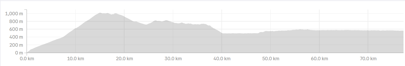

Day 23: Budva-Shkodër (94 km, 1084 m ↑)
Day 24: Shkodër-Tirana (101 km, 263 m ↑)
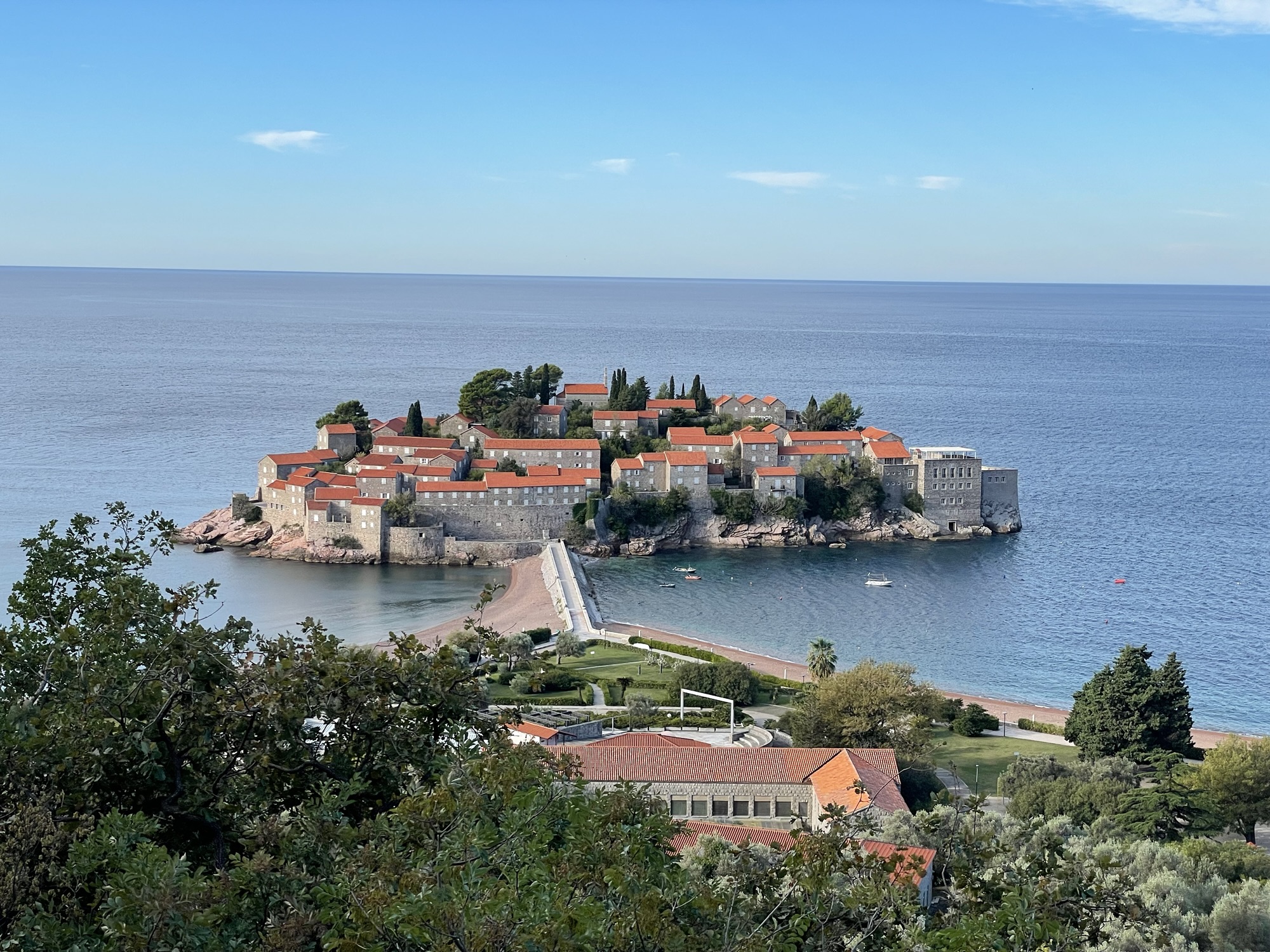
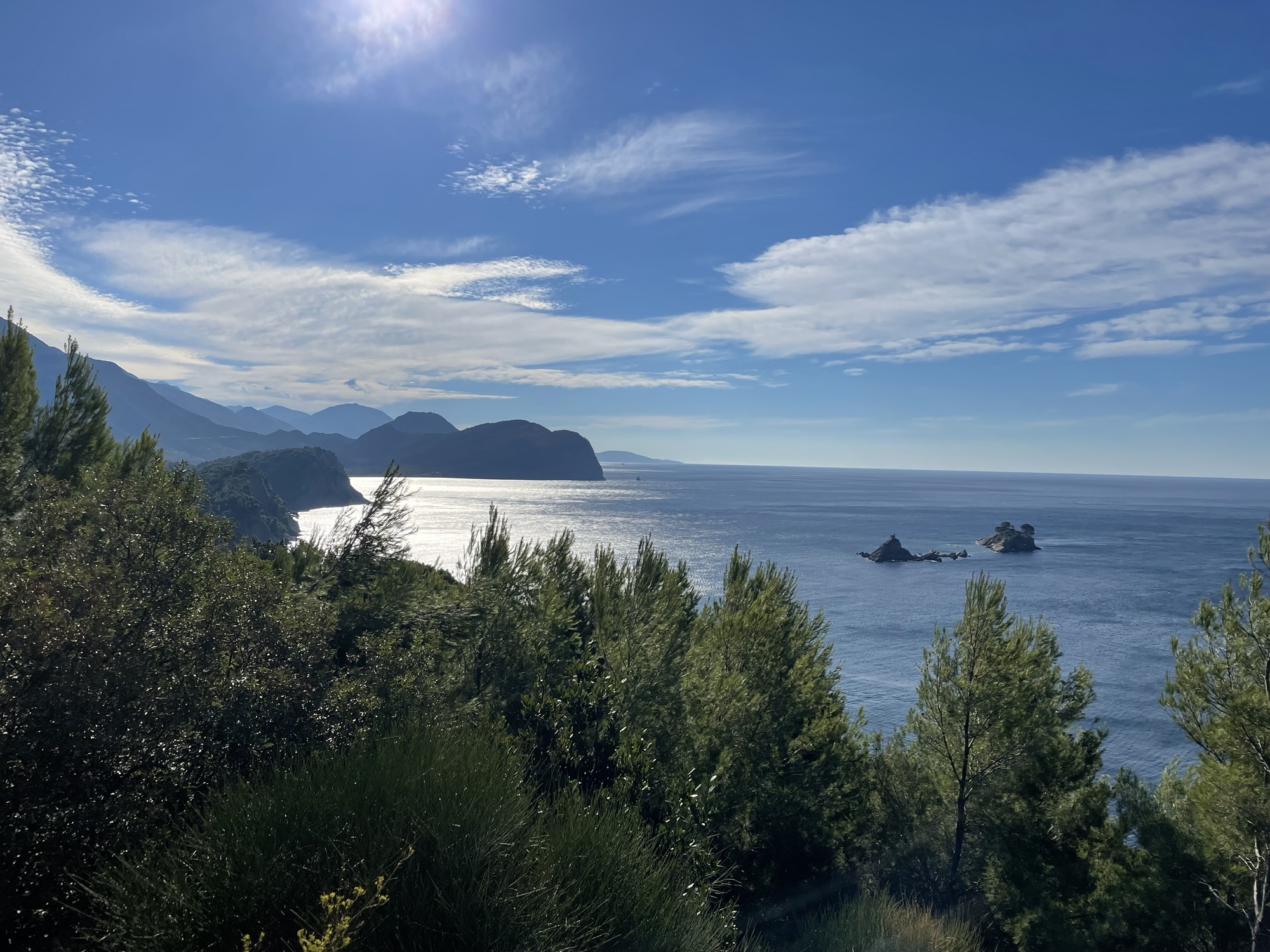
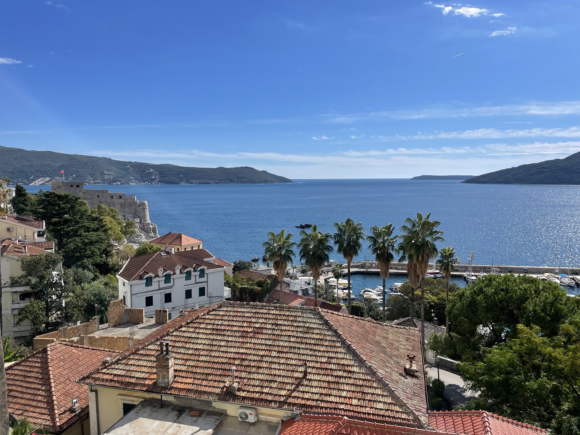
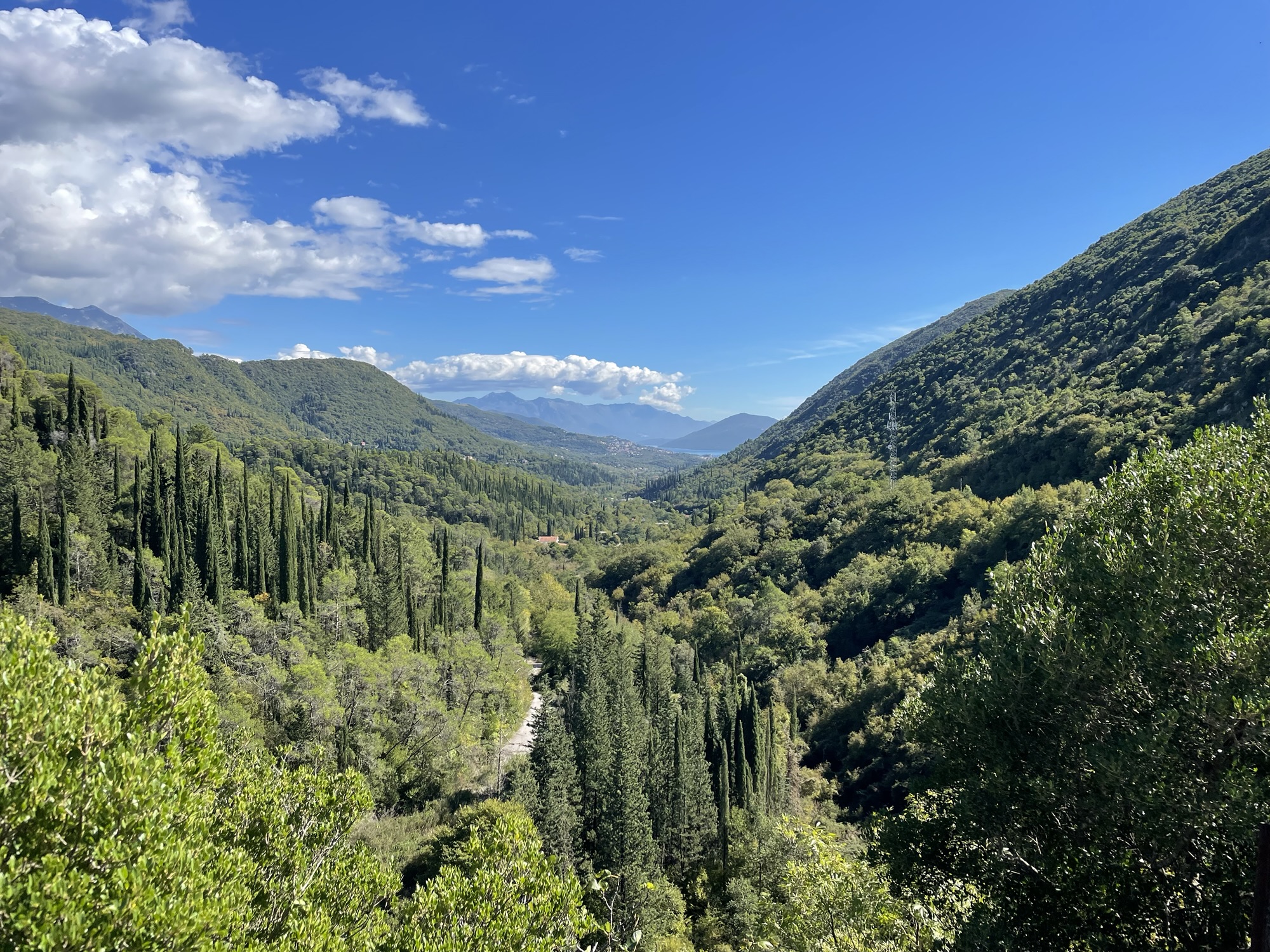
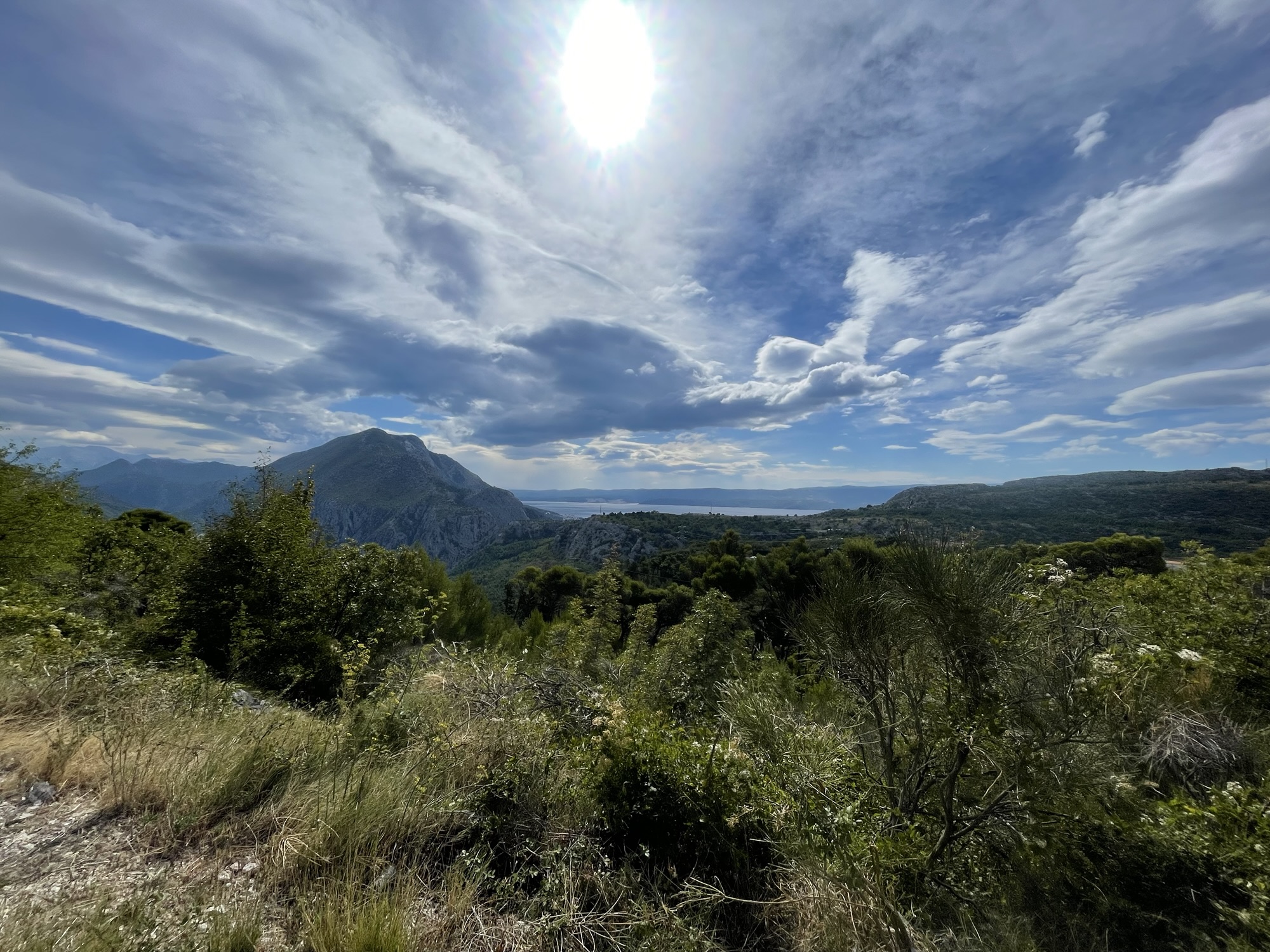
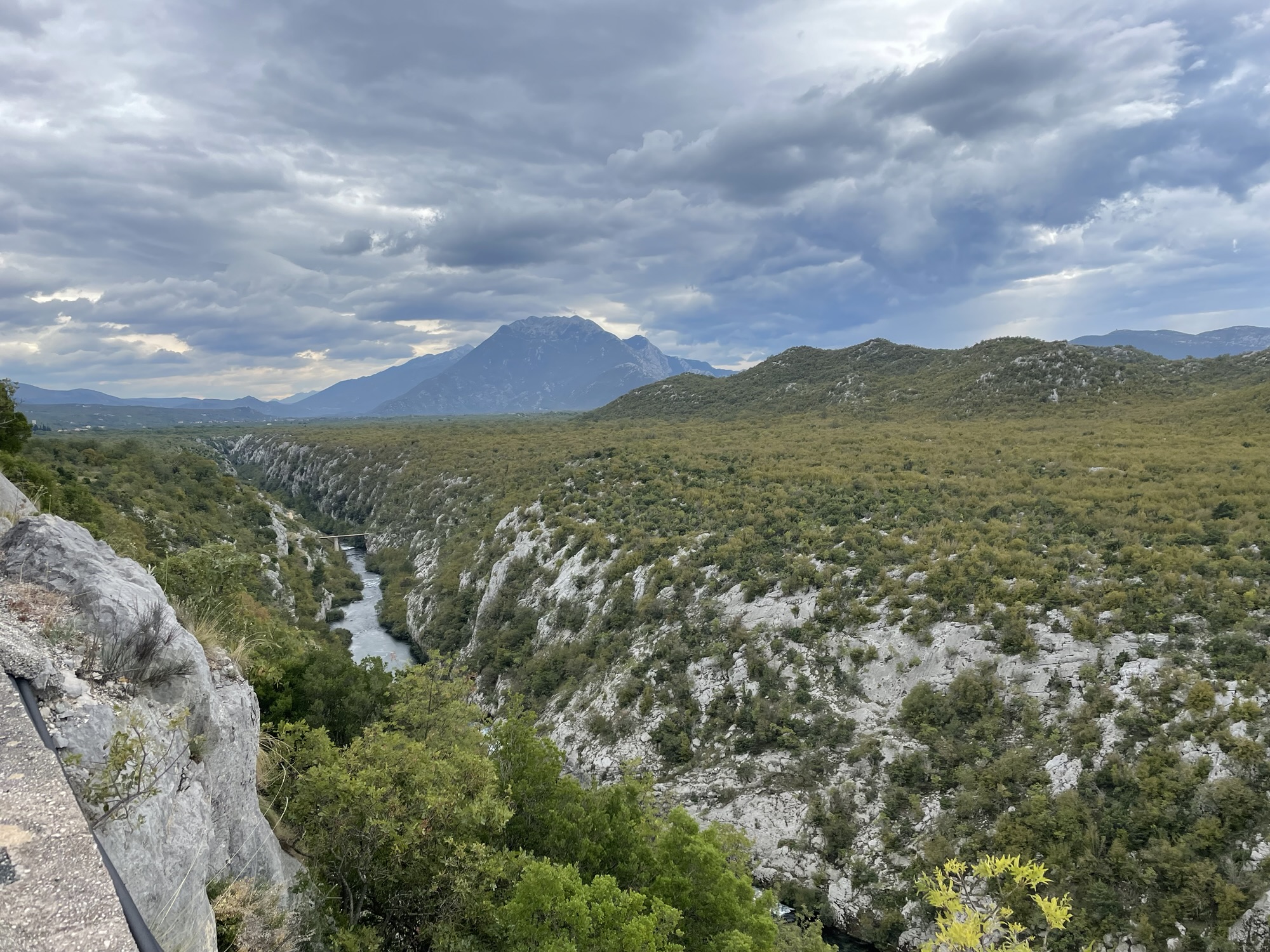
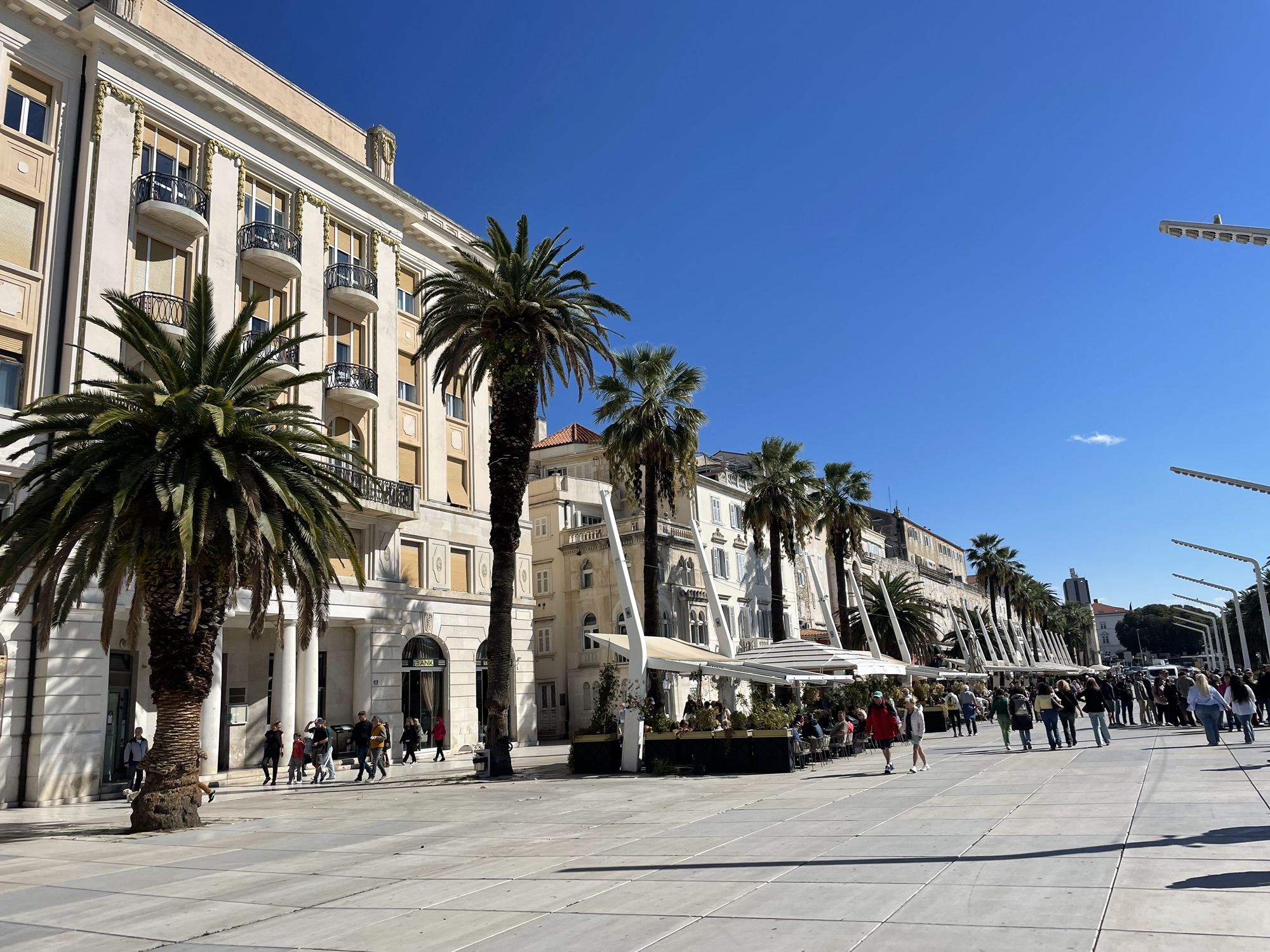
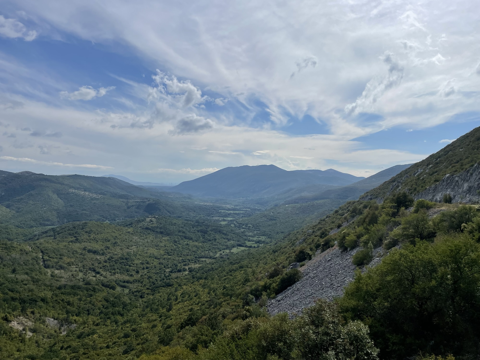
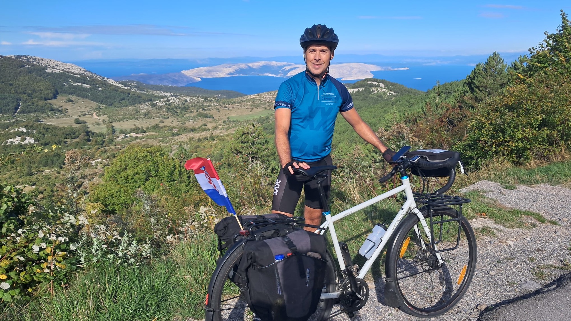
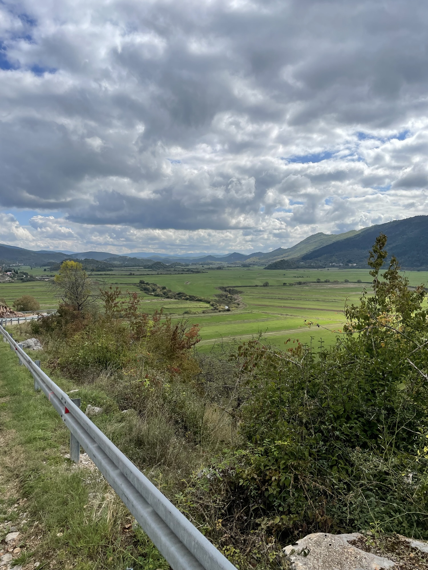
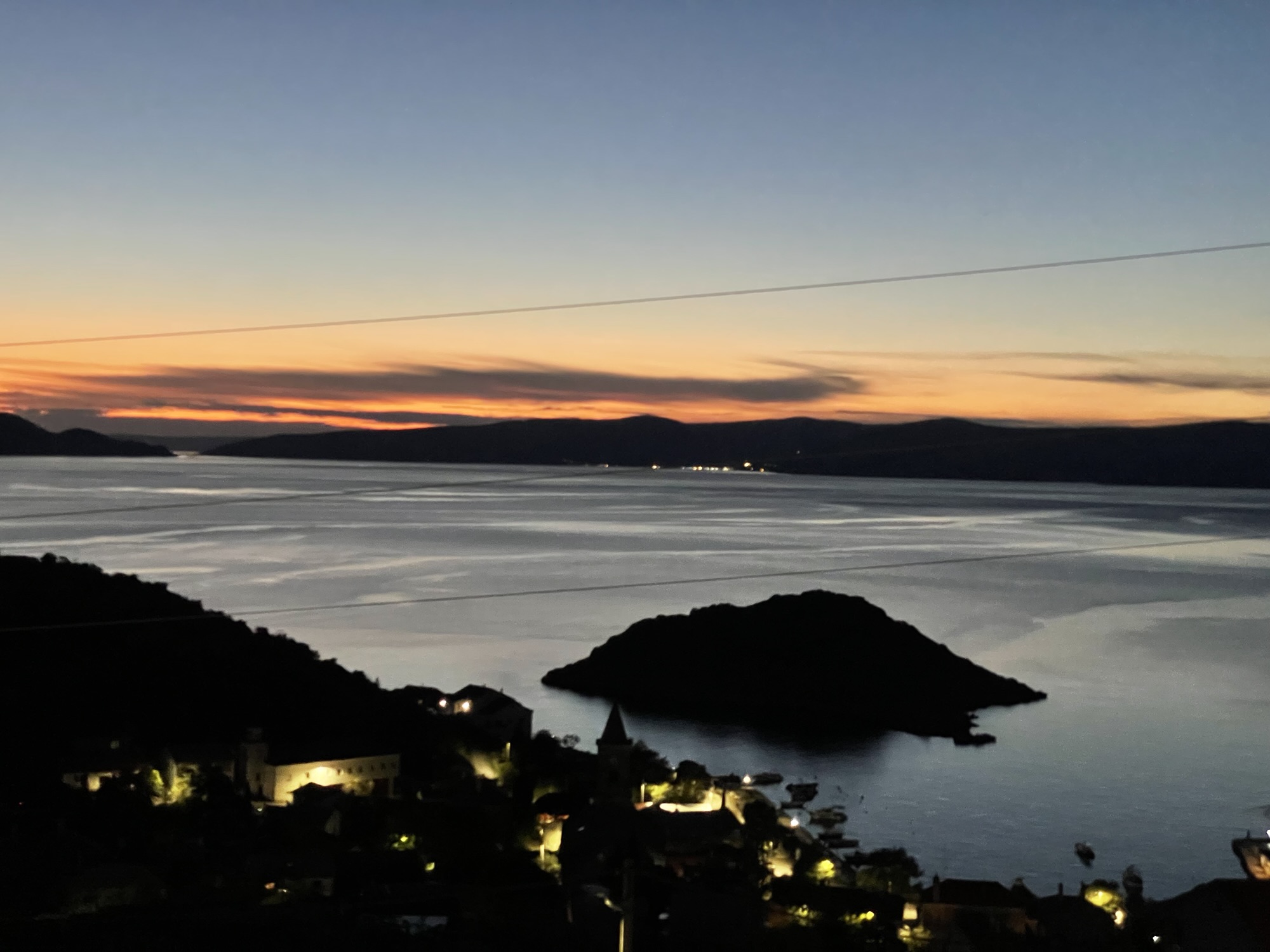
On Saturday, we left Budva in Montenegro again. For the first thirty kilometres, we cycled along the coast and had – typically for these coastal roads – beautiful views, but a lot of traffic. After we had passed the town of Bar, we left the Adriatic coast behind us and continued into the mountains towards Albania.
Up on the plateau, there were roadworks over a few kilometres. Once we reached a crossing, one of the workers suggested we should take a side road instead. That implied a detour of a few kilometres, but a much nicer cycling experience.
After four hours of cycling, we reached the Albanian border. Again, we passed a long queue of cars before entering the line. The officers at the border control did not even want to see our passports and just waved us through.
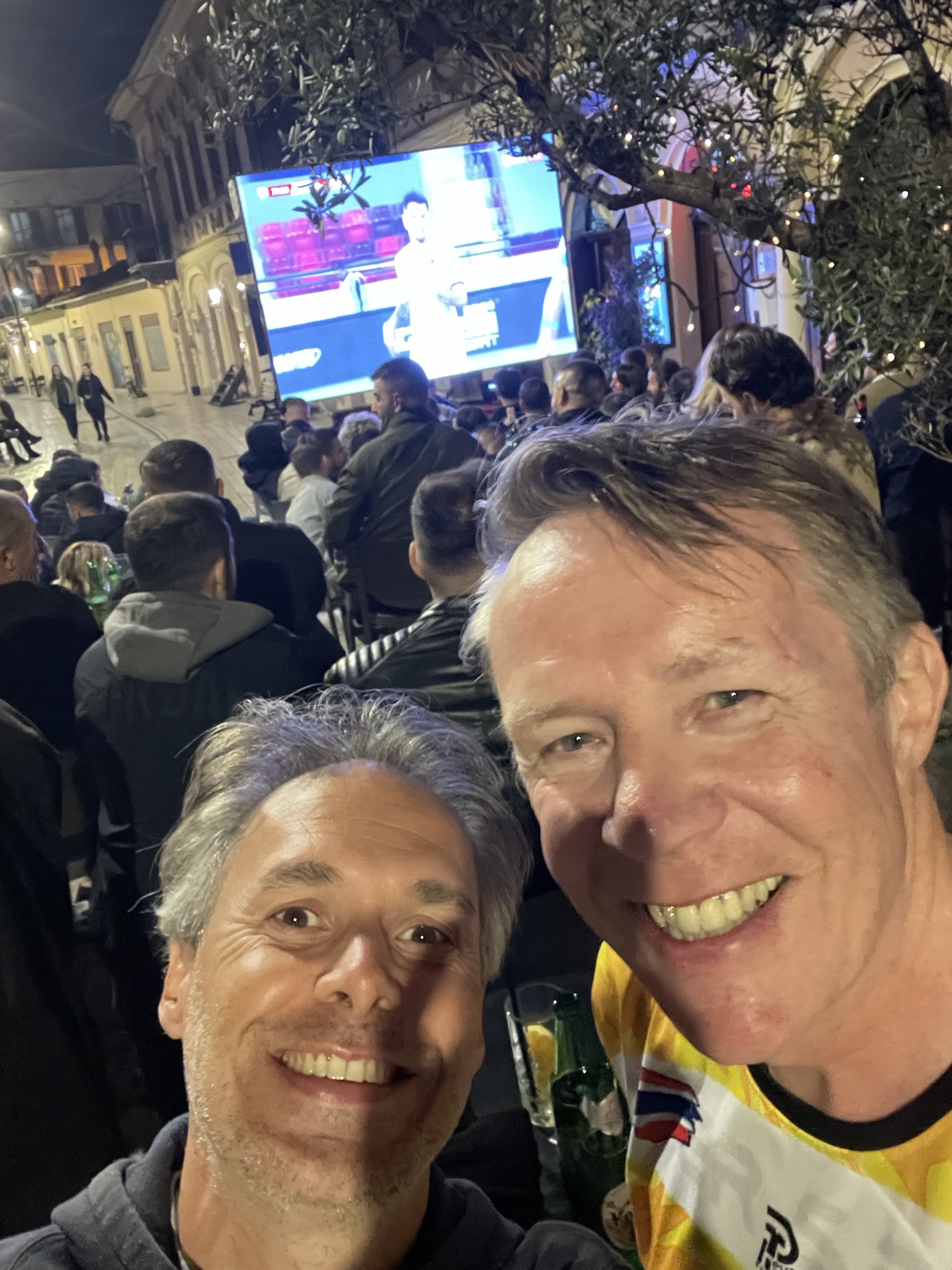
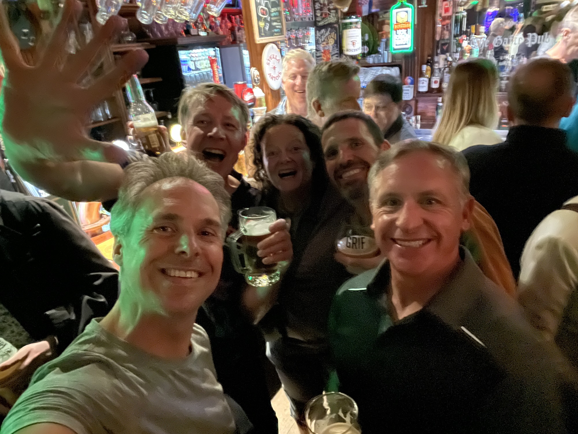
In the evening, we had a nice dinner in a restaurant together with a German couple who stayed in the same house as us. And afterwards, we watched Albania beat Serbia in the European World Cup qualifiers. The Albanians were ecstatic.
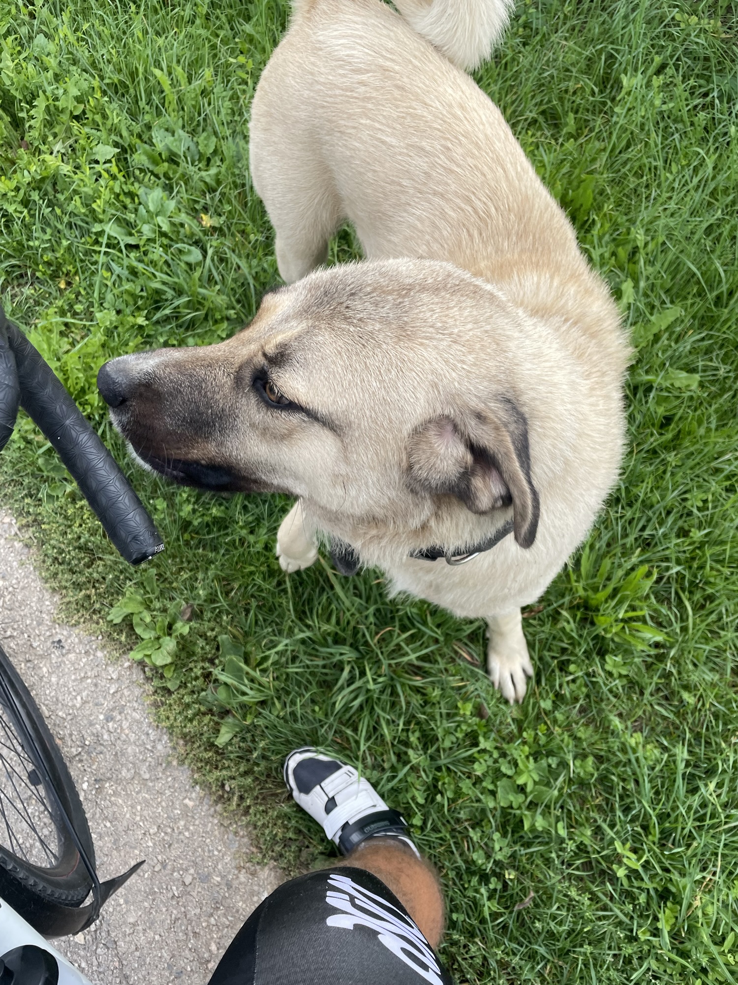
Today, Sunday, we continued from Shkodër to Albania’s capital, Tirana. The traffic was pretty intense today. And when we left the main road, the surface was bad. So it was not always pleasant for cycling today. But the Albanians are very nice and friendly people. In Tirana, we will stay for two nights. Now we’re getting ready for dinner.