Day 35: Nordmannvik-Baddereidet (95 km)
The meteorologists were right today again. According to the weather forecast, it should stop raining around ten o’clock today. So when I woke up and it was still raining, I suggested that we should start a bit later today. And around 9:30 it did stop after it had rained nonstop for twenty-four hours. So we took down our tents and left at ten.
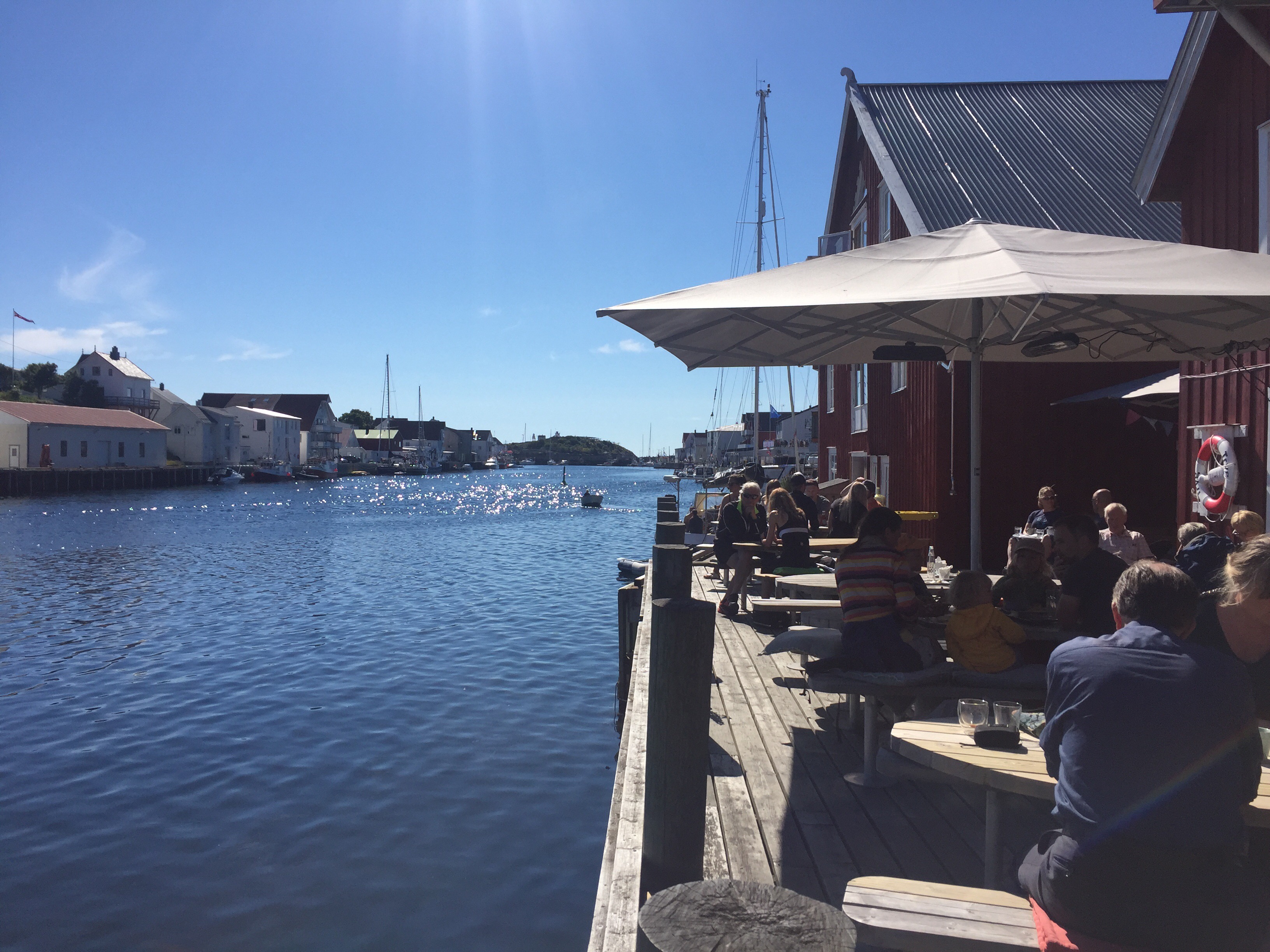
We had three mountain passes to cross today – which we didn’t know in advance. After the first one and twenty-five kilometres of cycling, we took a lunch break. This was quite early (quarter to twelve), but there was a nice café and we were exhausted from the first mountain.
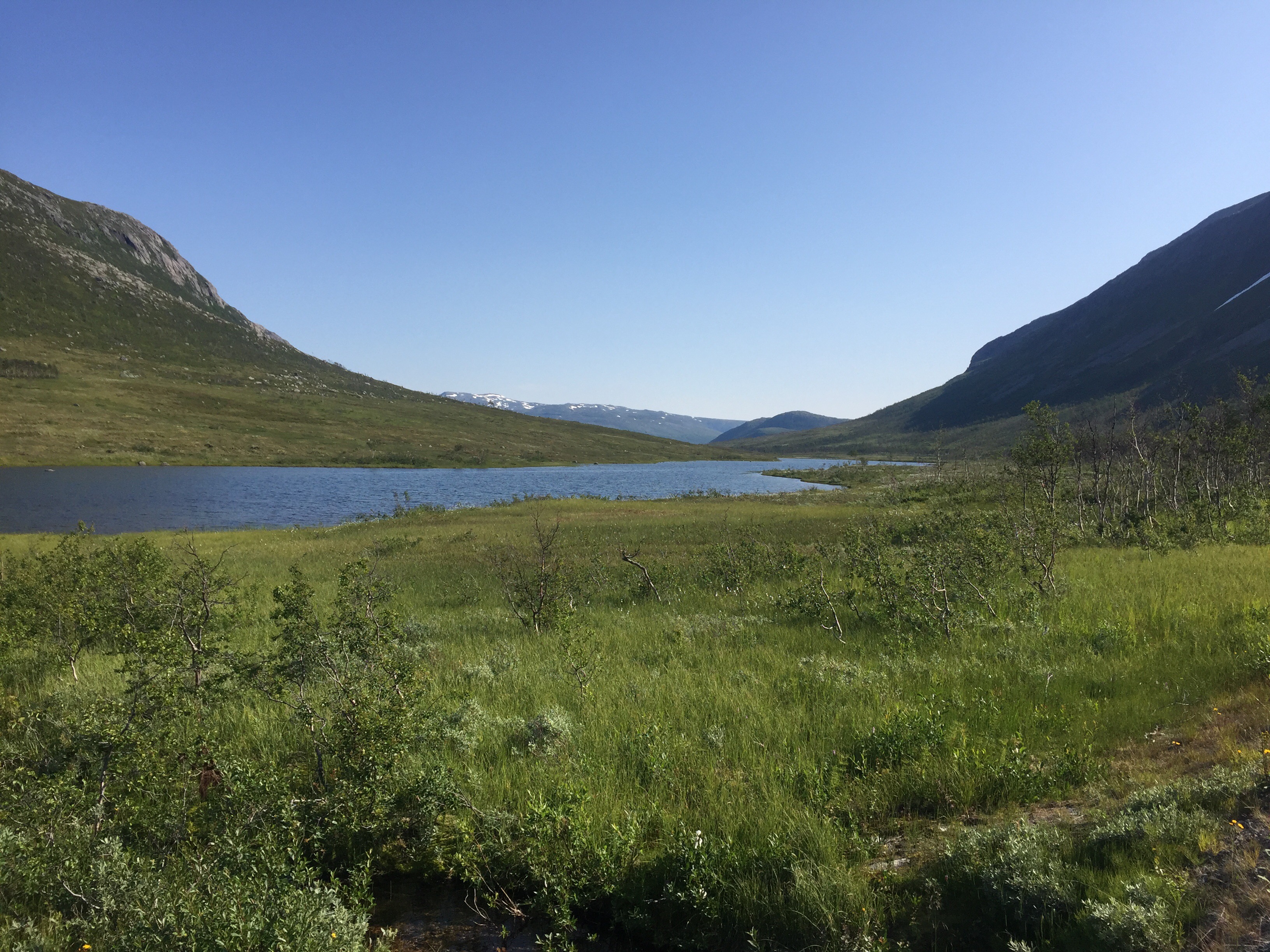
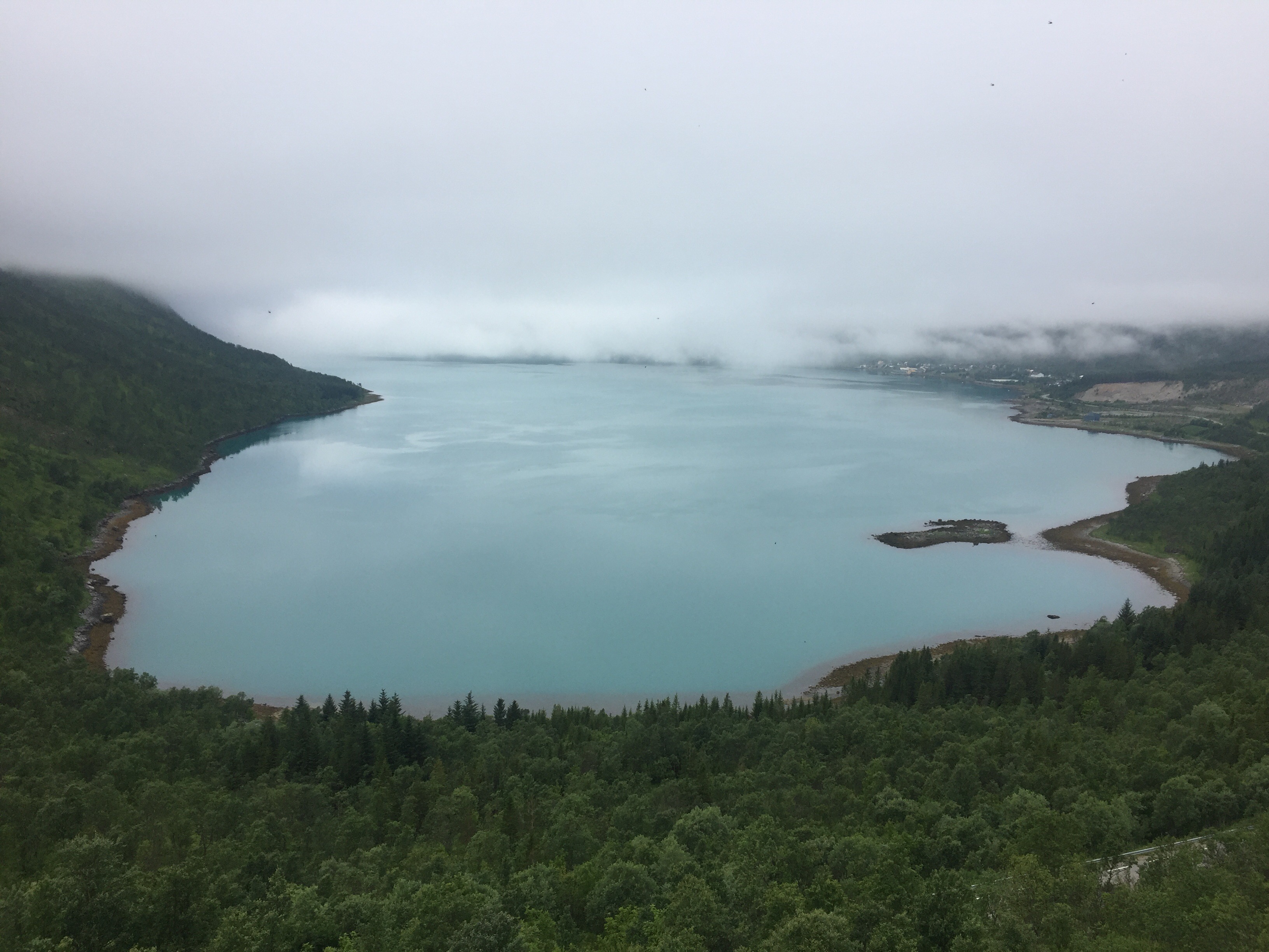
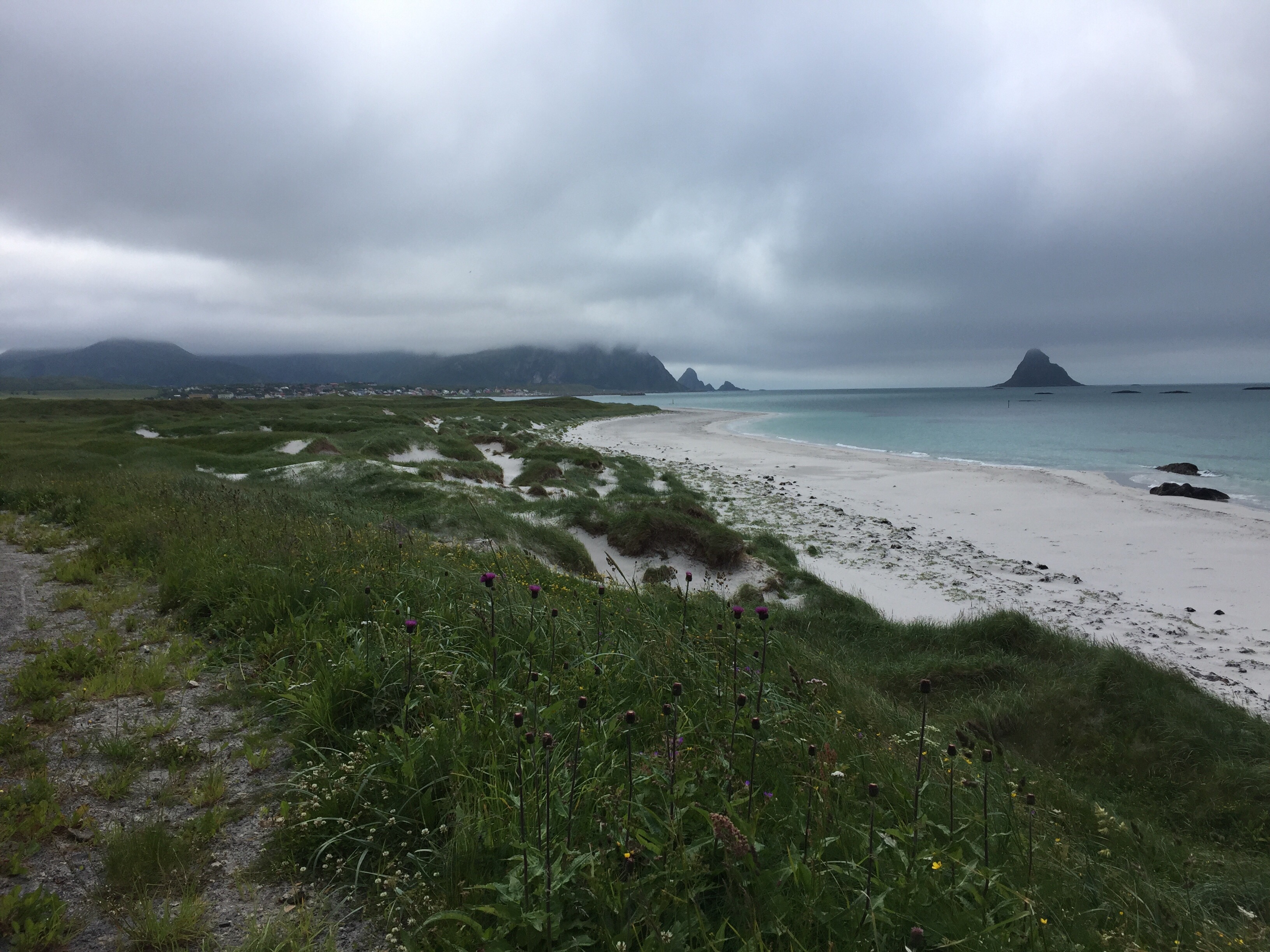
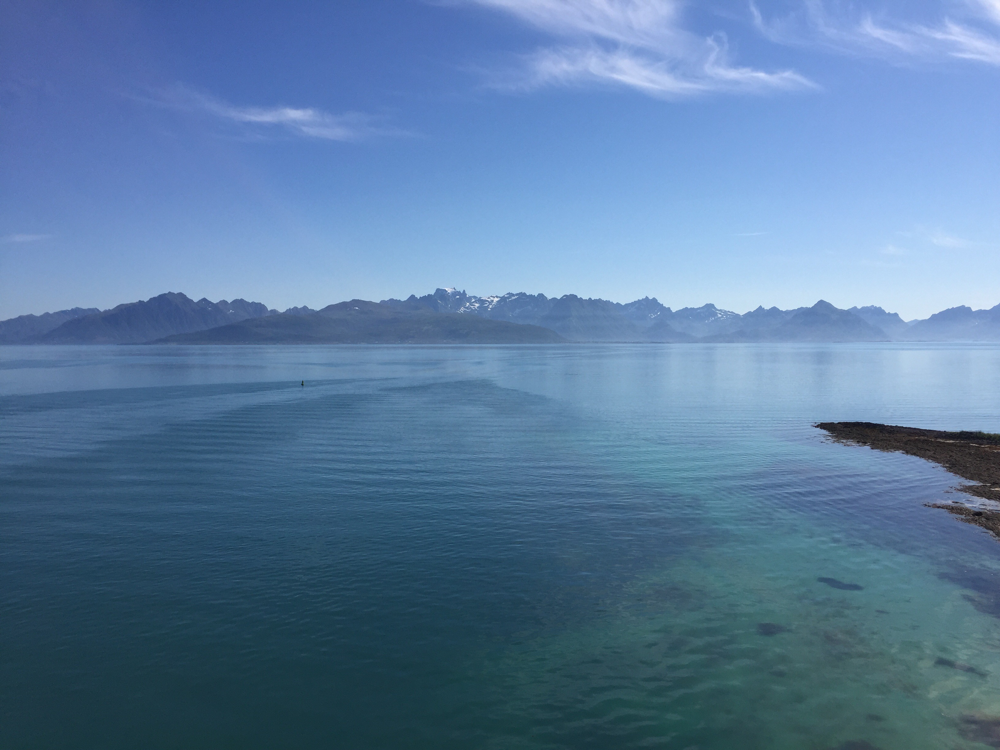
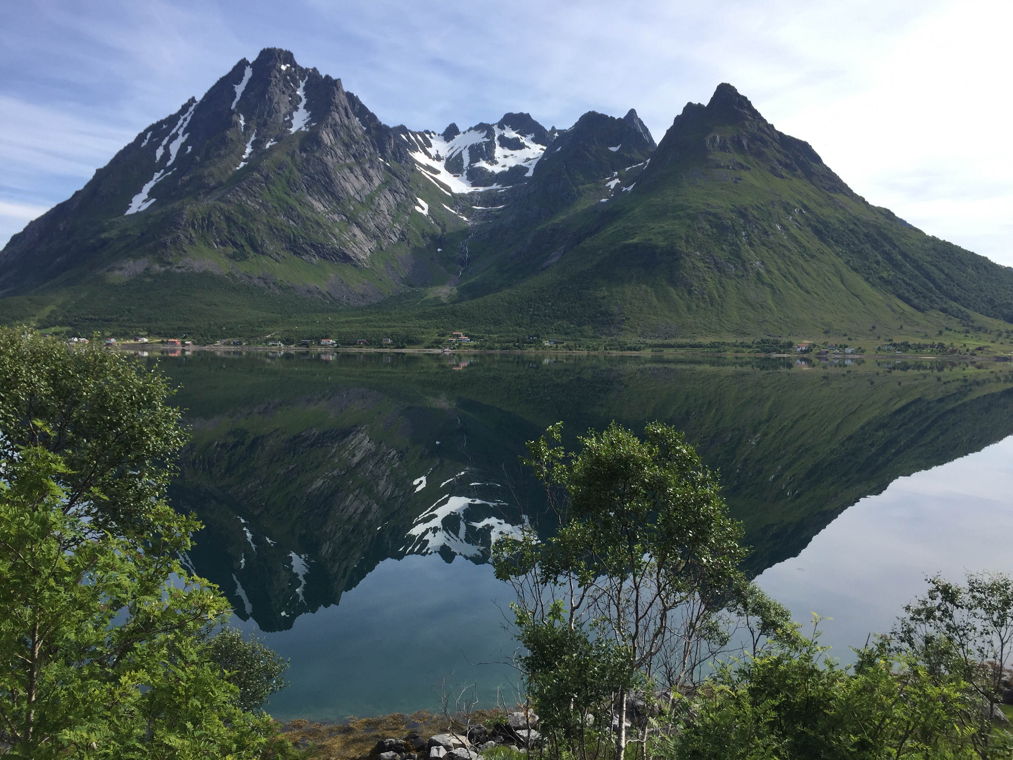
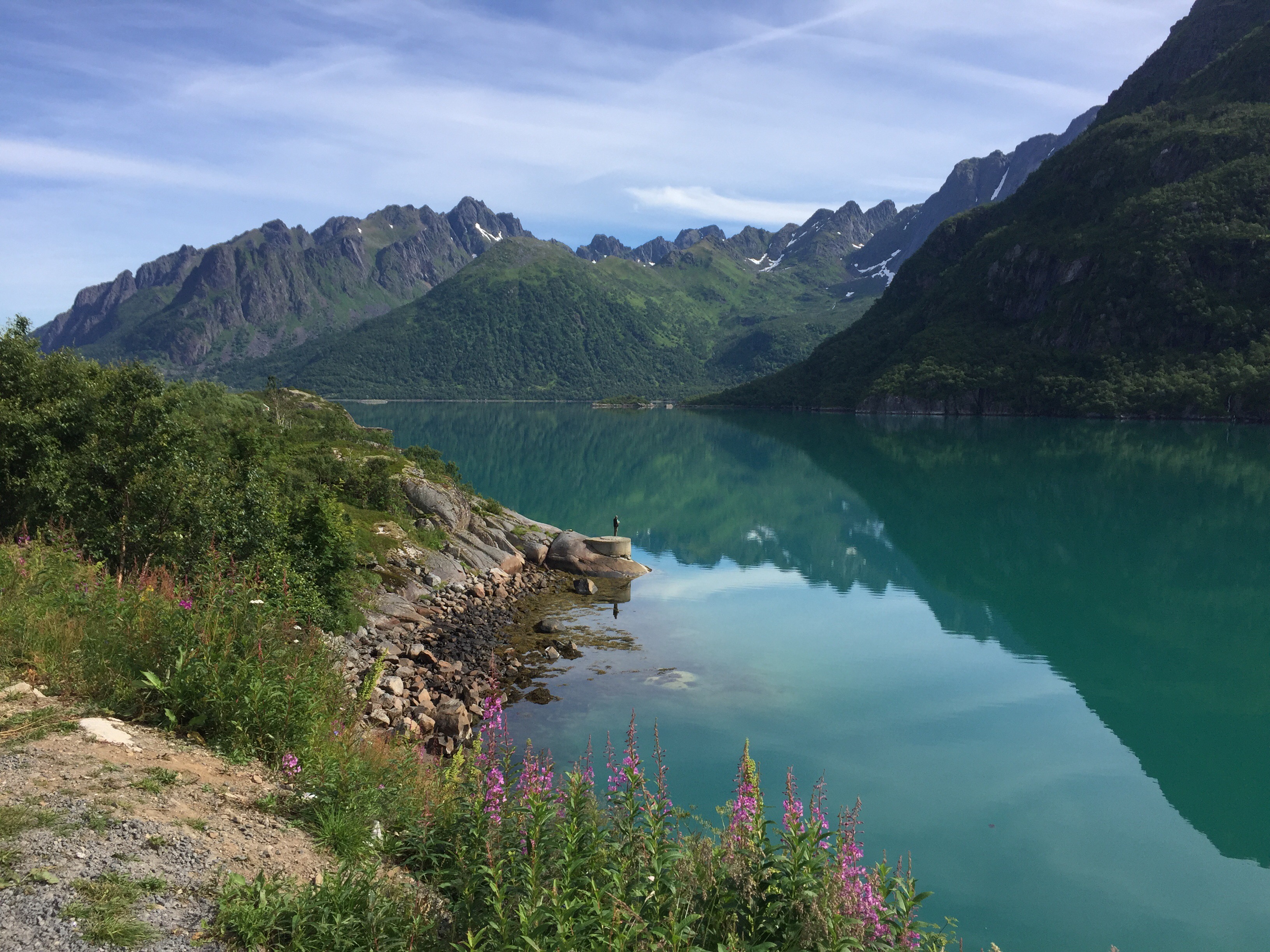
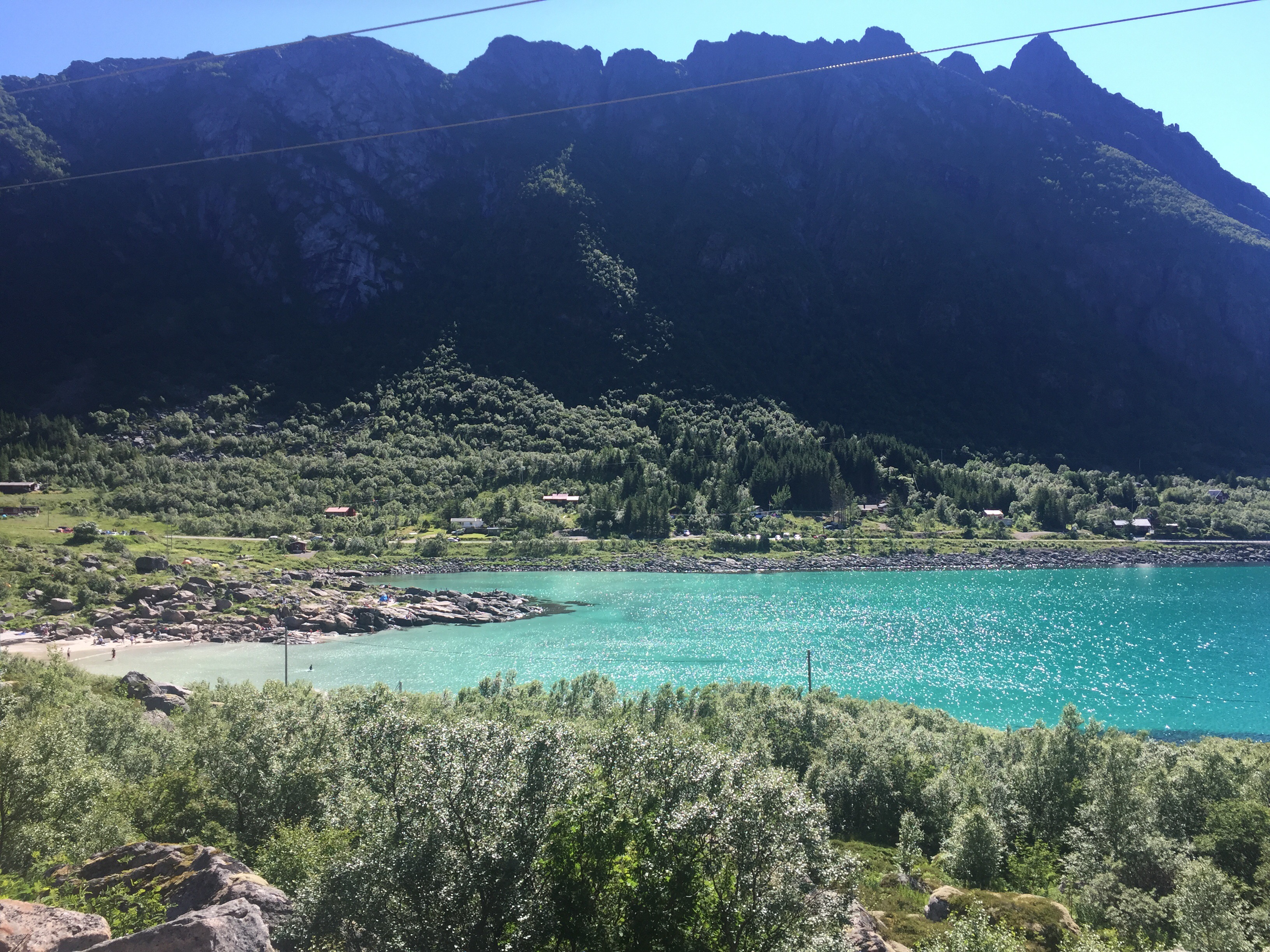
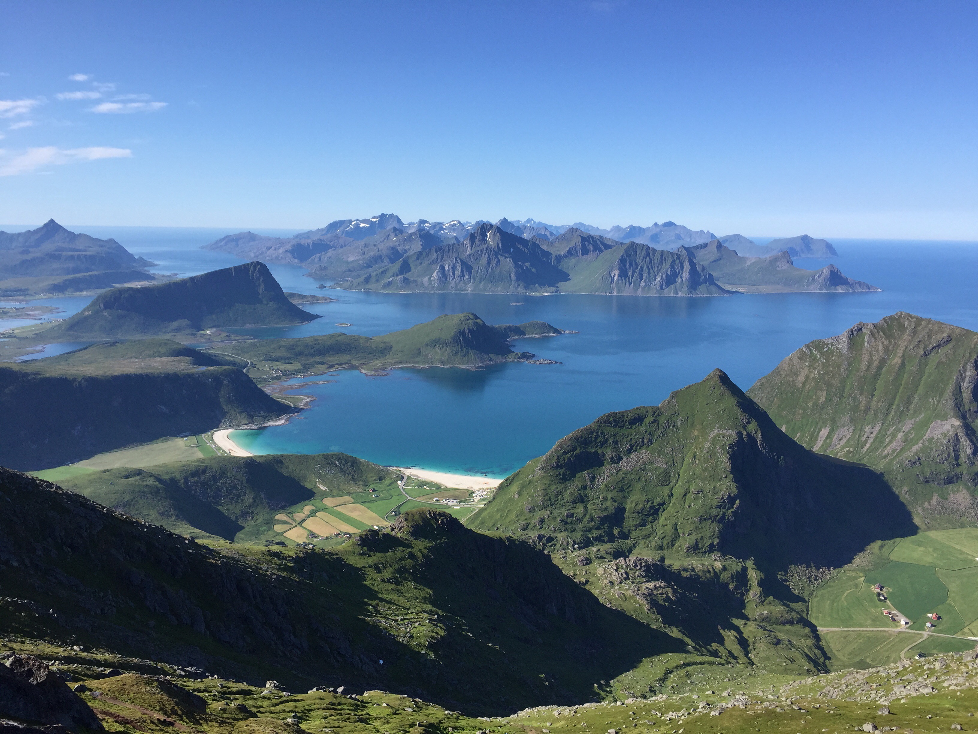
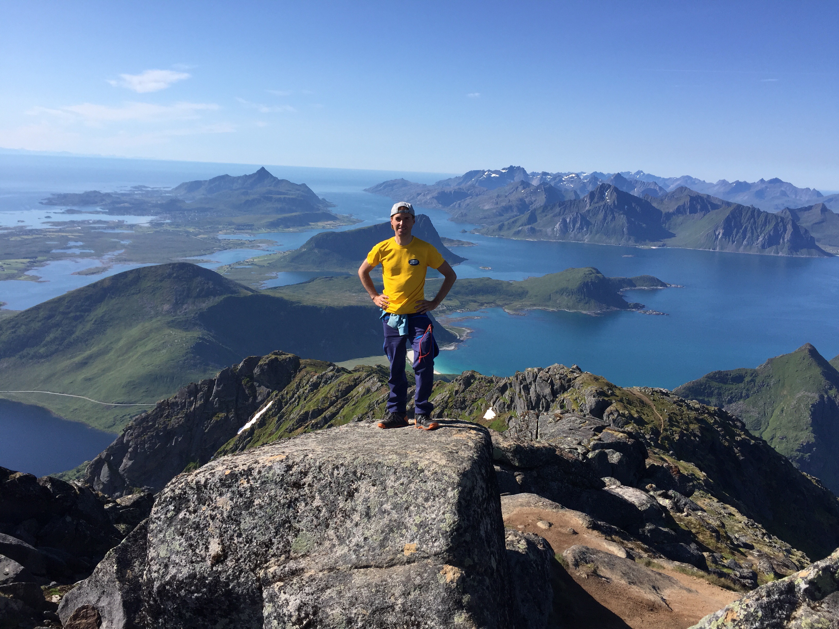
The second pass was the highest – Kvænangsfjellet. Here we were rewarded with a great view at the top and a nice downhill ride on the other side.
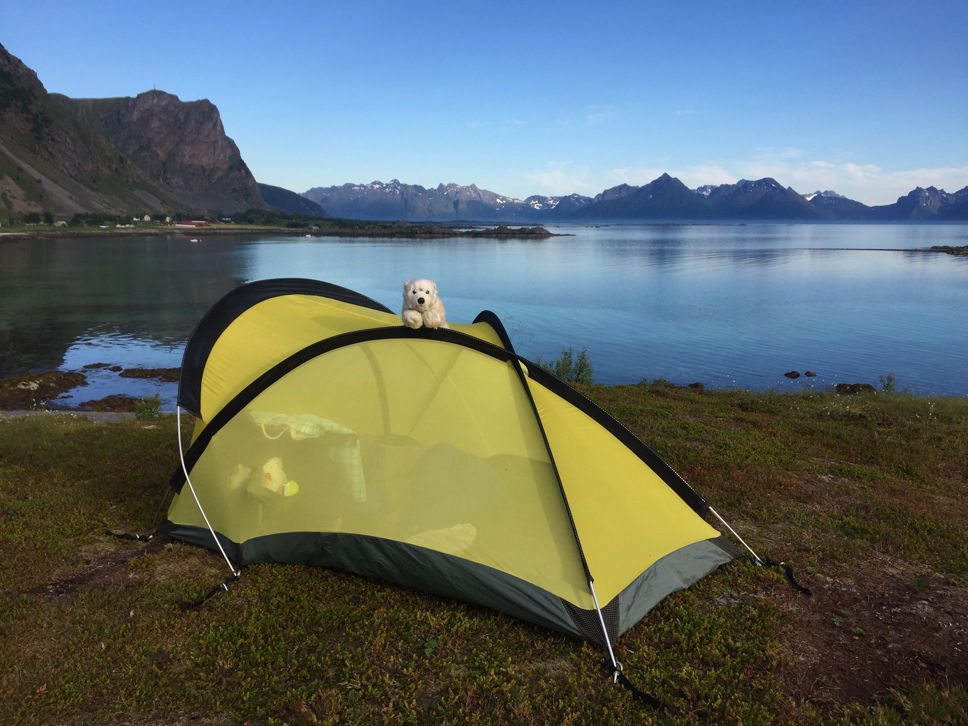
The last pass started after almost ninety kilometres. We had planned to cycle at least one hundred today, but when we reached the top of the last pass after ninety-five kilometres and there was a nice spot to camp up here, we decided that we can roll down the last five kilometres tomorrow morning as well.
Alta is 101 kilometres away. My plan is to eat reindeer stew there. I guess they should have that somewhere?!
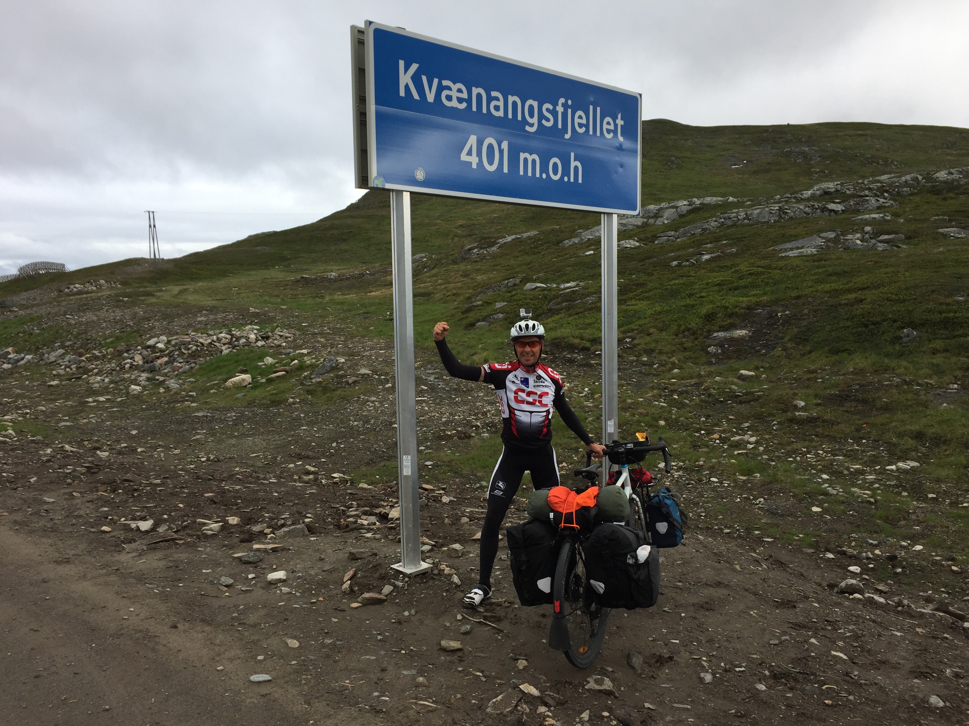
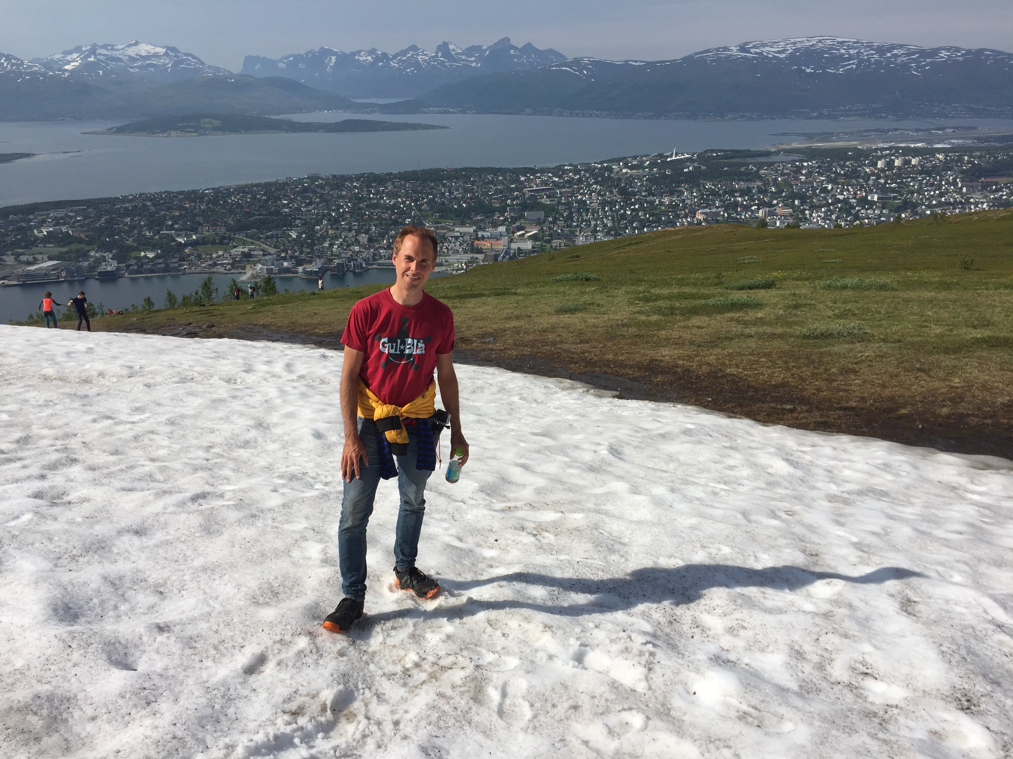
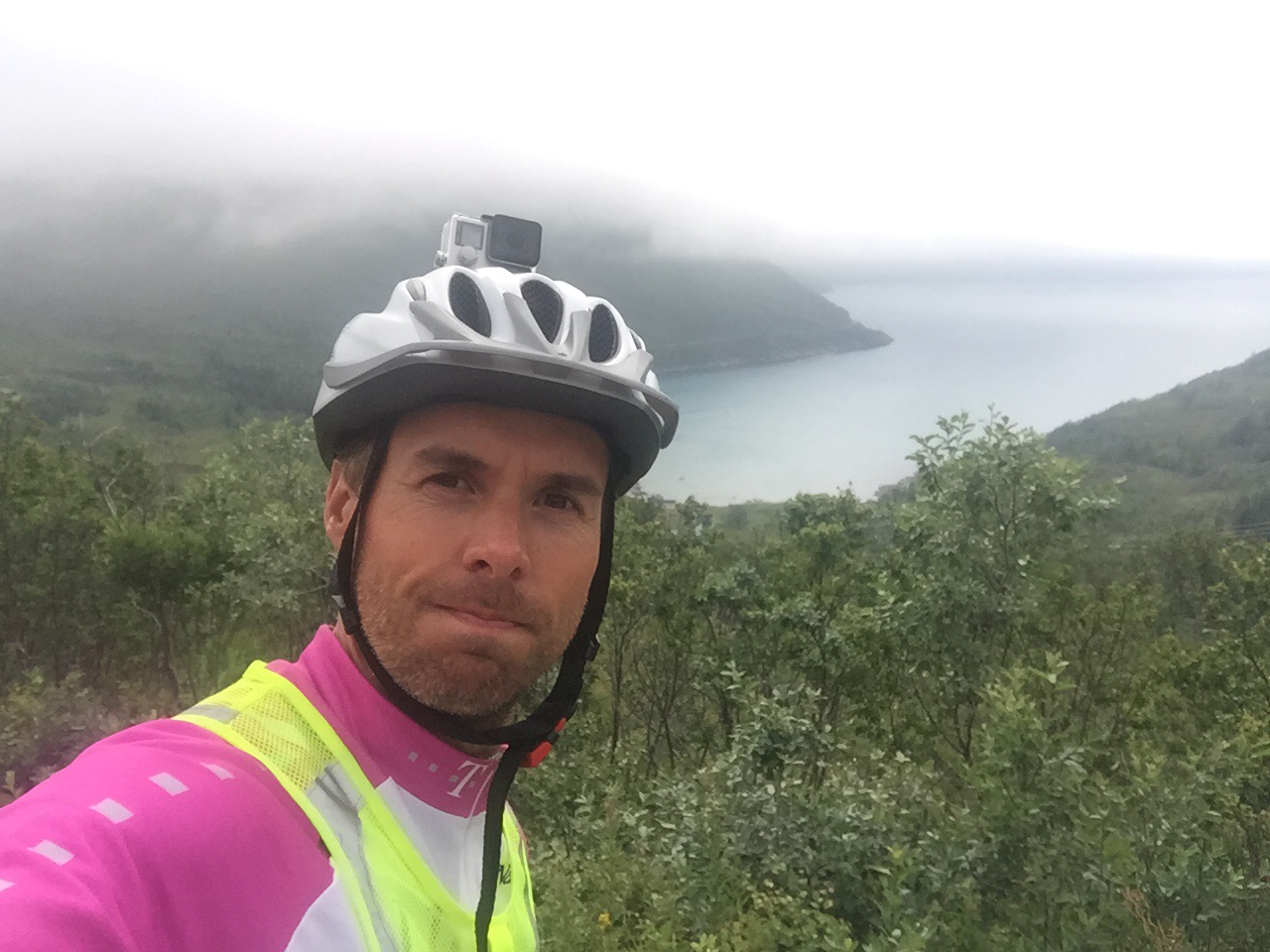
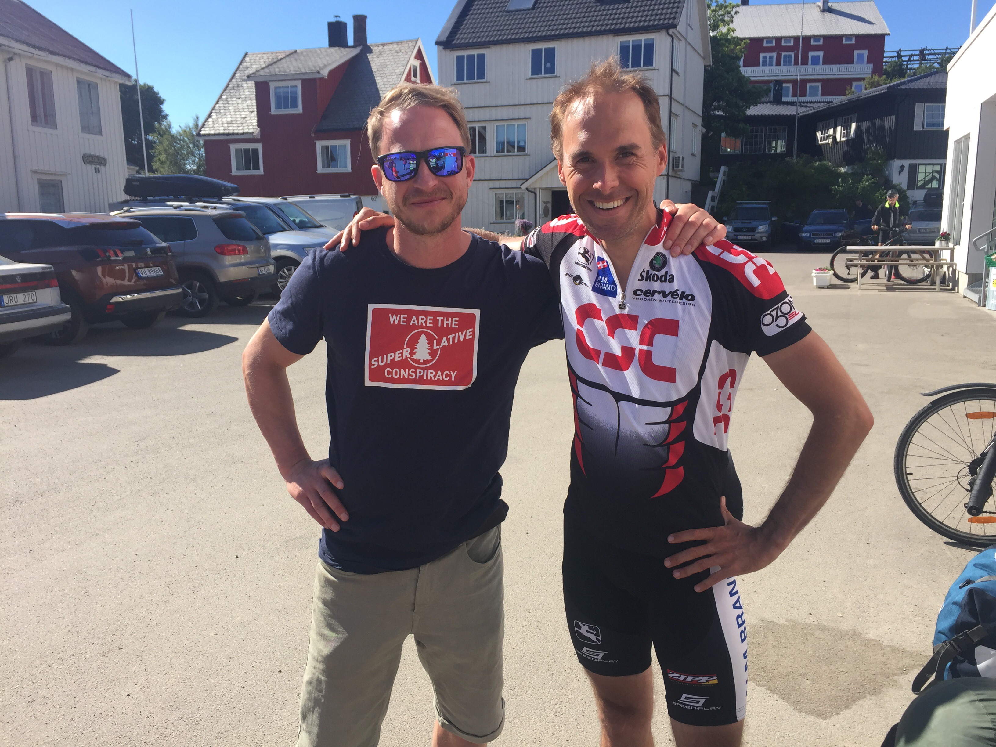
Conquered it
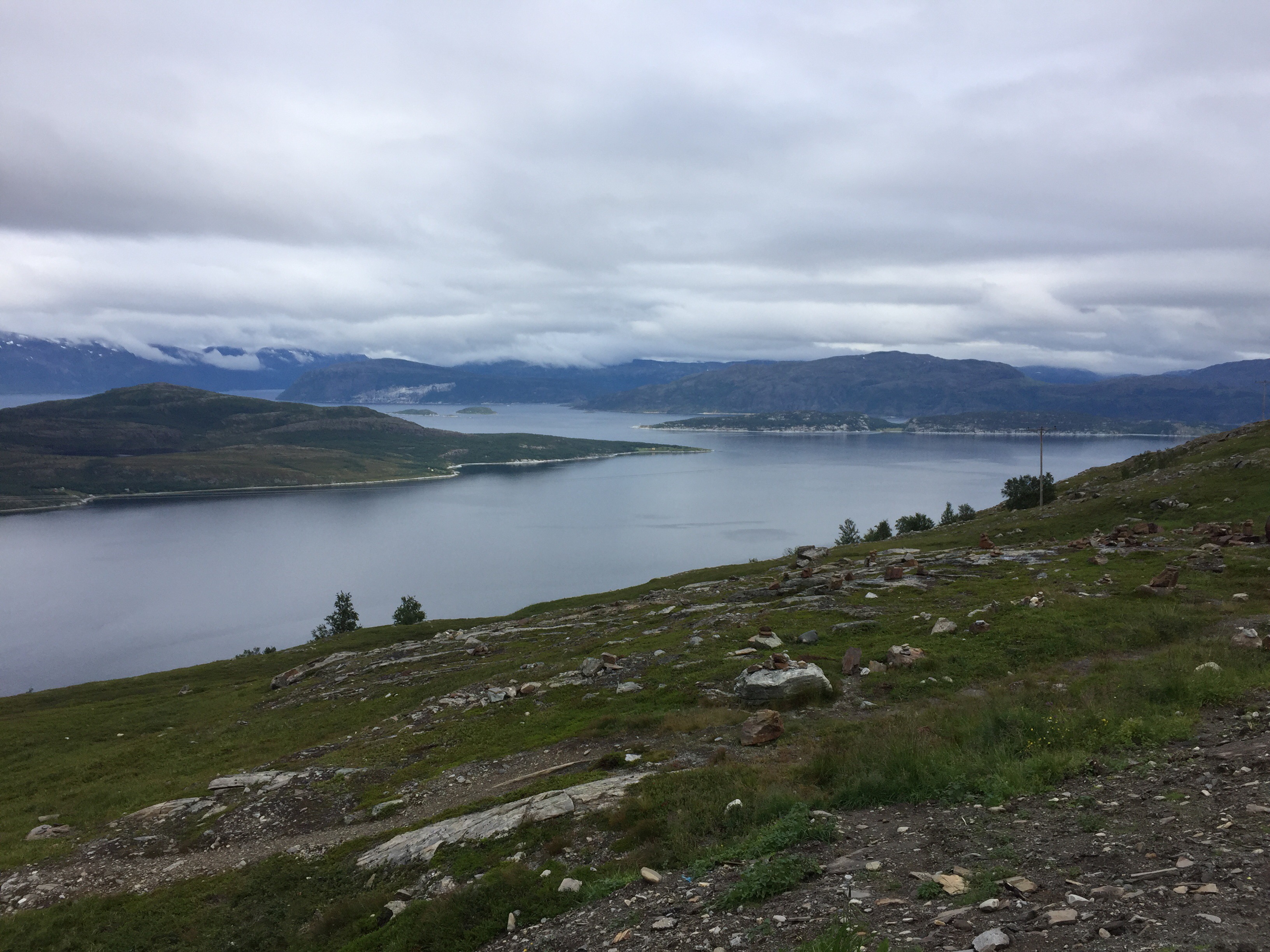
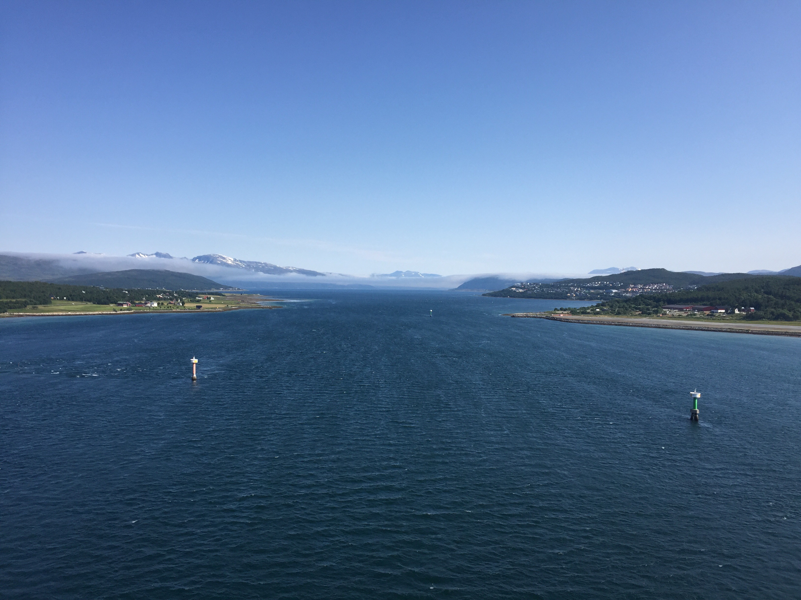
View from the top
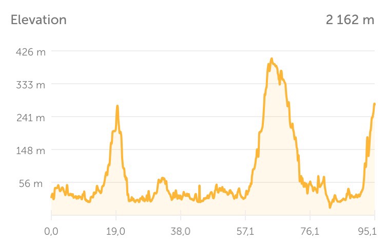
Today’s elevation profile