Day 3: Kviteseid-Valle (103 km)
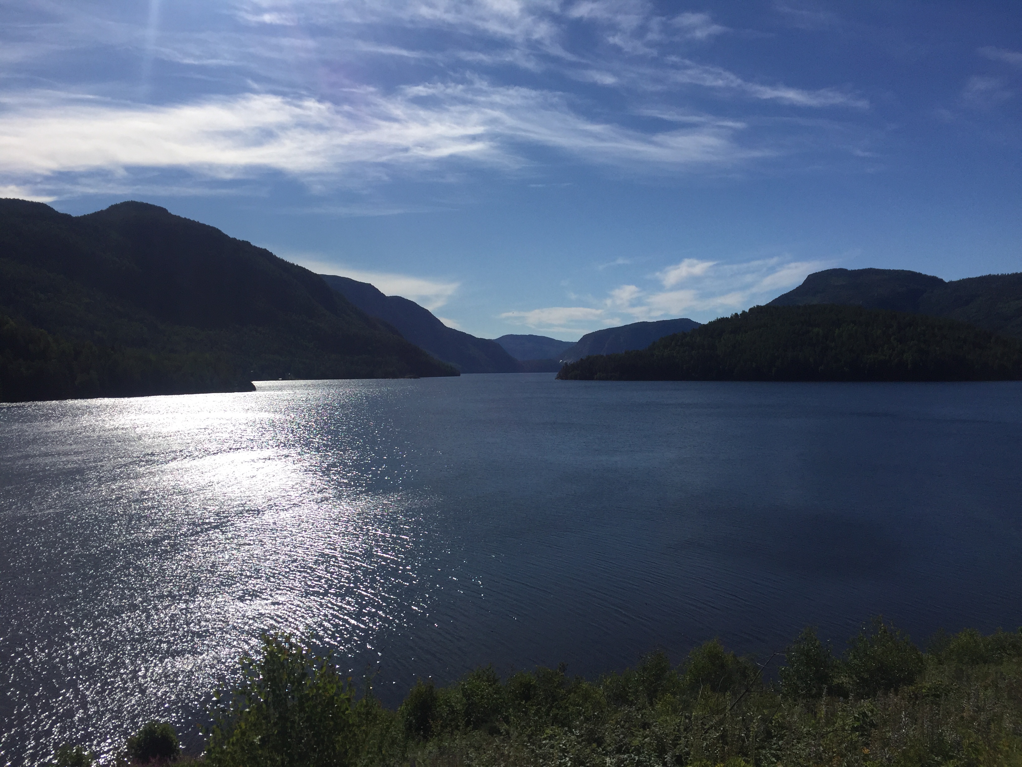
From the Telemark Canal, the next day started at once with a serpentine road up a mountain. This was only the first challenge of the day. It was a warm and sunny day, and I enjoyed the great view over the valley. Once I reached the top, the road fell again towards Vrådal from where I followed the Vråvatn lake for an hour or so. Here, I recognised for the first time that there was strong west wind that day, and I was heading west, of course. Right before I reached Dalen, I left road 38 and took a shortcut over another small mountain to reach road 45 southbound.
Unfortunately, my left knee that I had felt already the day before, still caused problems and was bothering me. I took a lunch break at a museum cafeteria and then continued. The road now turned west again and increased until I reached a ski resort and took another break at Hallbjønnsekken. Up here on this plateau, I head to struggle with the strong west wind of ten metres per second again. Where there were hardly any trees and many waters, there was nothing to stop the wind. Finally, I had crossed the mountain plateau and had a long downhill ride again towards road number 9 where I found a nice tent place for the night at Honnevje, close to Valle.
Day 4: Valle-Lysebotn (92 km)
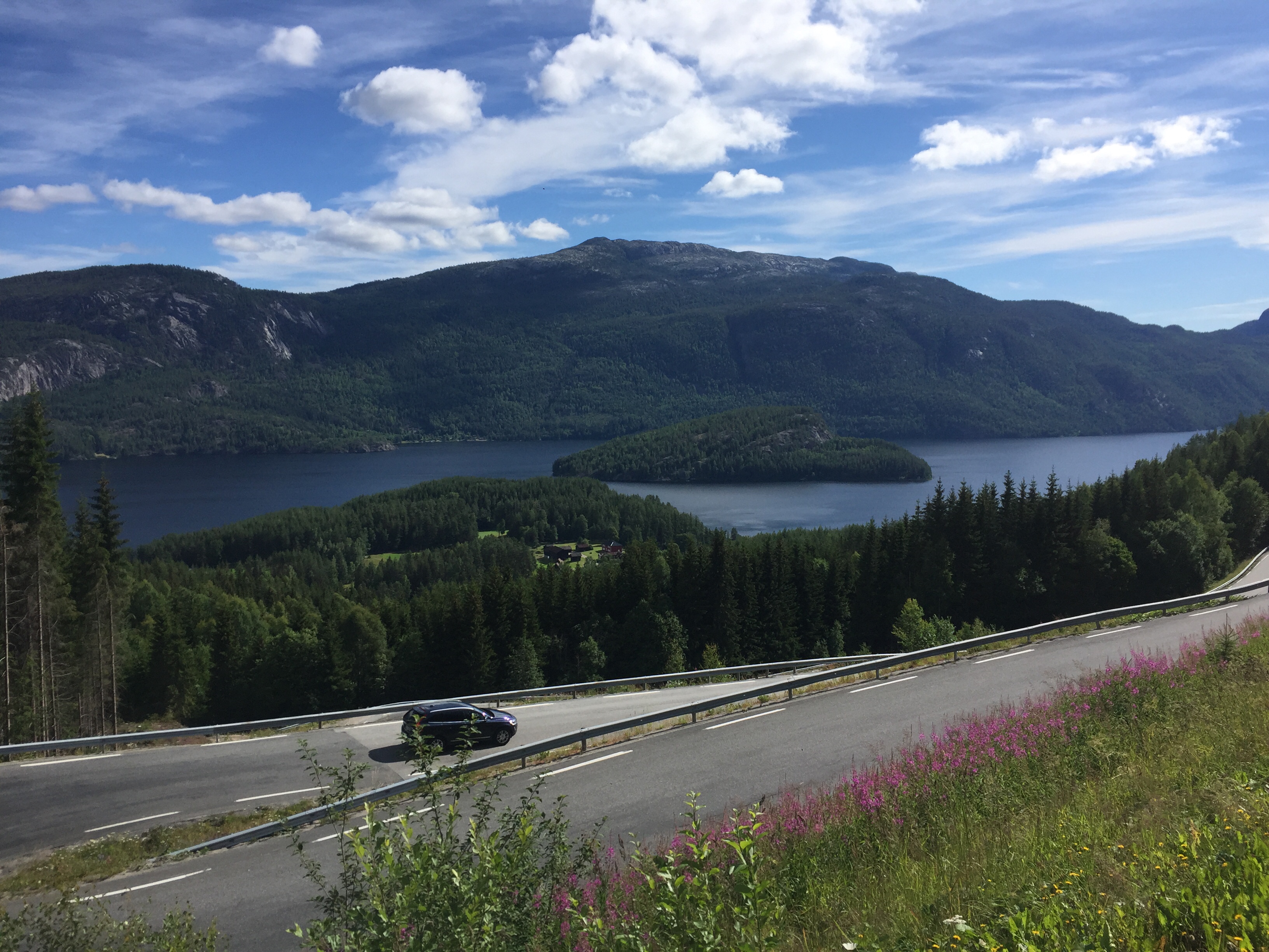
While the last day had many metres uphill, this next one should be even tougher. After one hour of flat and pleasant cycling through the Setesdal valley, I turned right at Nomeland and met a road with ten percent incline up towards Brokke ski resort. From here, the road continued to gain height towards Suleskard and finally reached more than 1000 metres above sea level. Then there was a long downhill road towards the Sirdal valley where I made a stop at a store which was open on Sundays.
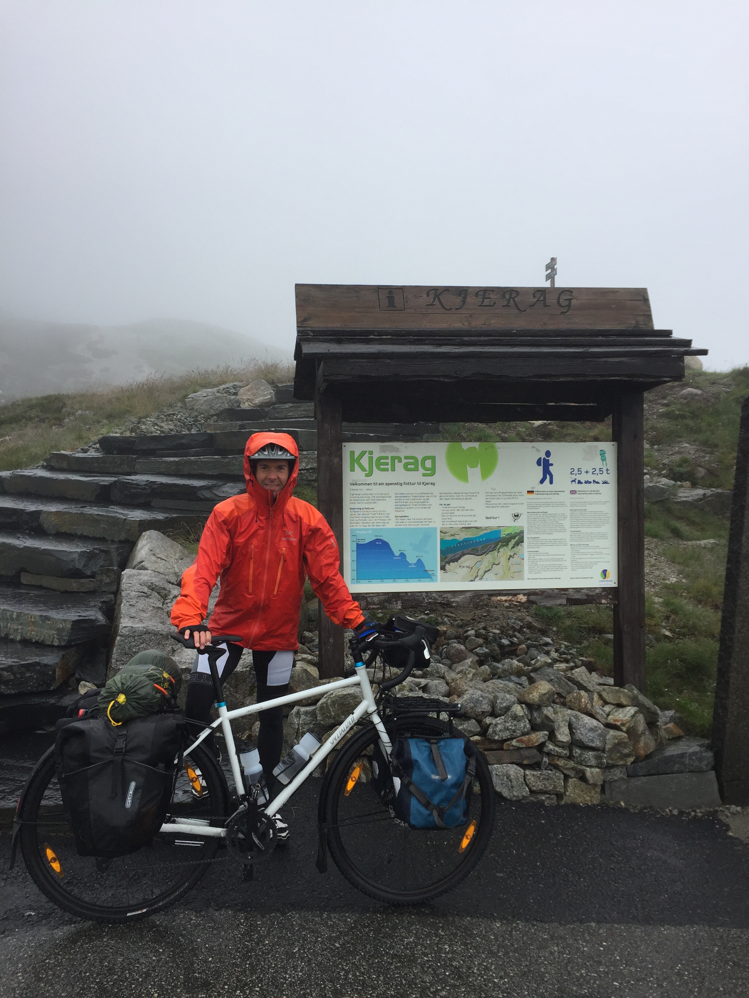
The final challenge was crossing the mountain between Sirdal and Lysefjord, which had both very steep roads, strong headwinds and, for the last two hours, fog and heavy rain. I should finally be rewarded though, that’s what I expected at least, by the spectacular views over Lysefjord from the Kjerag plateau. Kjeragbolten is one of the most photographed landmarks in Norway, a round rock which is locked in between two cliffs 1000 metres above the fjord. After a long and tough day, I finally reached the Kjerag parking where two parking guards greeted me and informed me that there was no point starting the hike towards Kjeragbolten because there was zero visibility. I had already realised this on my way there, so instead of being disappointed, I just went into the restaurant and enjoyed a hot chocolate and apple pie. Finally, I followed the spectacular serpentine road towards Lysebotn down at the fjord, where I enjoyed a nice dinner and spent the night at the DNT cabin run by the Norwegian Tourist Association.
Day 5: Lysefjord-Stavanger (40 km)
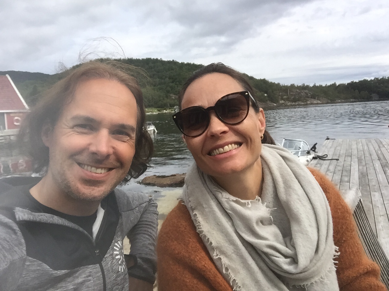
On my fifth day, I had originally planned to hike to Preikestolen (Pulpit Rock) which is the other famous tourist attraction at Lysefjord. However, there were still low hanging clouds in the fjord in the morning. So I decided to come back for Kjerag and Preikestolen another time and proceed to Stavanger instead. First, I took a boat from Lysebotn to Forsand and then cycled from there. In Ims, I met my former colleague Anniken and her family for a nice long breakfast outside at the water. Then I continued to Stavanger and reached my hotel just when it started to rain again.
Today, I have a rest day in Stavanger on which I visited a chiropractor because my back got completely blocked yesterday. I walk like a hundred-year-old man and don’t think I’ll be able to cycle much further on this trip. I will try, however, to ride the twenty kilometres to Sola beach tomorrow and might end the cycling there. I have booked a surf course, but don’t think as of now that my back will allow any surfing. If not, they have a spa at my hotel, and a jacuzzi sounds very tempting now.