
Day 13: Zagreb-Vrbovski (108 km, 1040 m ↑)
We spent an extra day in Zagreb for resting and sightseeing. It was a very nice city actually. We also had a nice apartment with a central location and a TV where we could watch Arminia and Schalke.
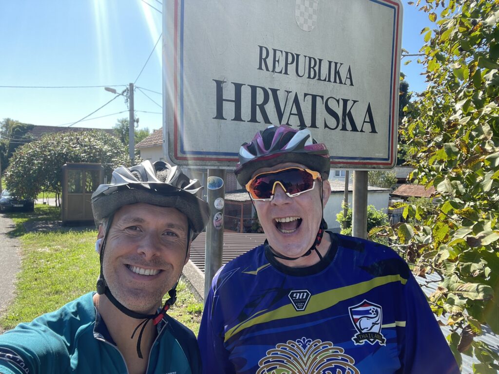
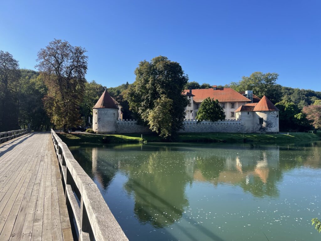
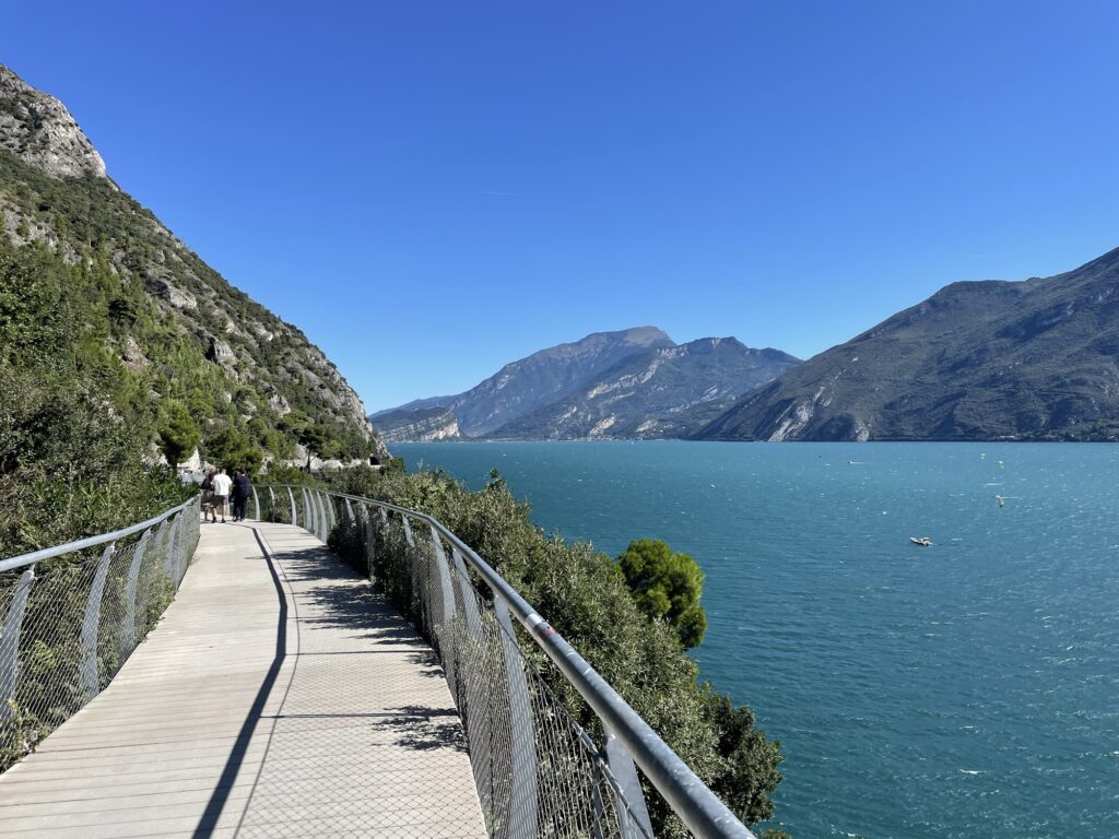
Then today we continued our journey through Croatia and cycled from Zagreb towards Vrbovsko. The first part out of Zagreb was not very nice – commercial areas and quite a lot of traffic. But once we got a bit further away from the city, the landscape was very scenic again with lot of hills.
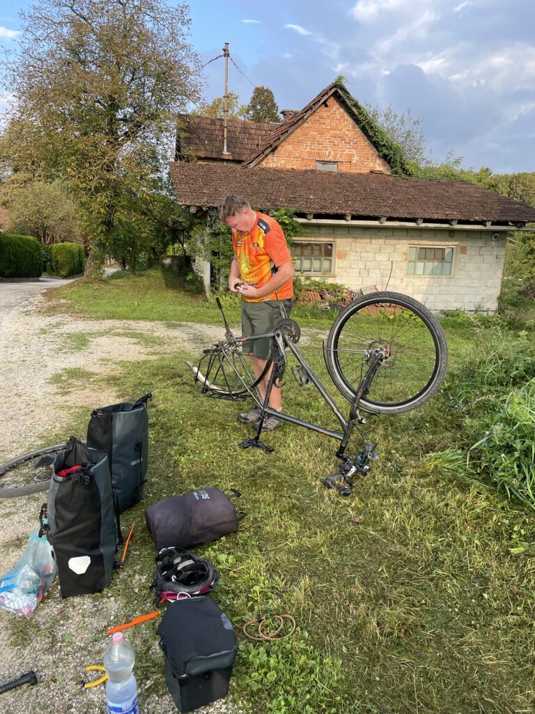
This stage also had an interesting profile with a three-hundred metres’ climb at the very end. We took two coffee breaks on the way to keep the energy level high. Udo was unfortunate and had a broken spoke on his rear wheel thirty kilometres away from today’s destination. He managed to continue anyway. There is no bike shop in this small village, so most likely he will try to get to Rijeka as well and get it fixed there.
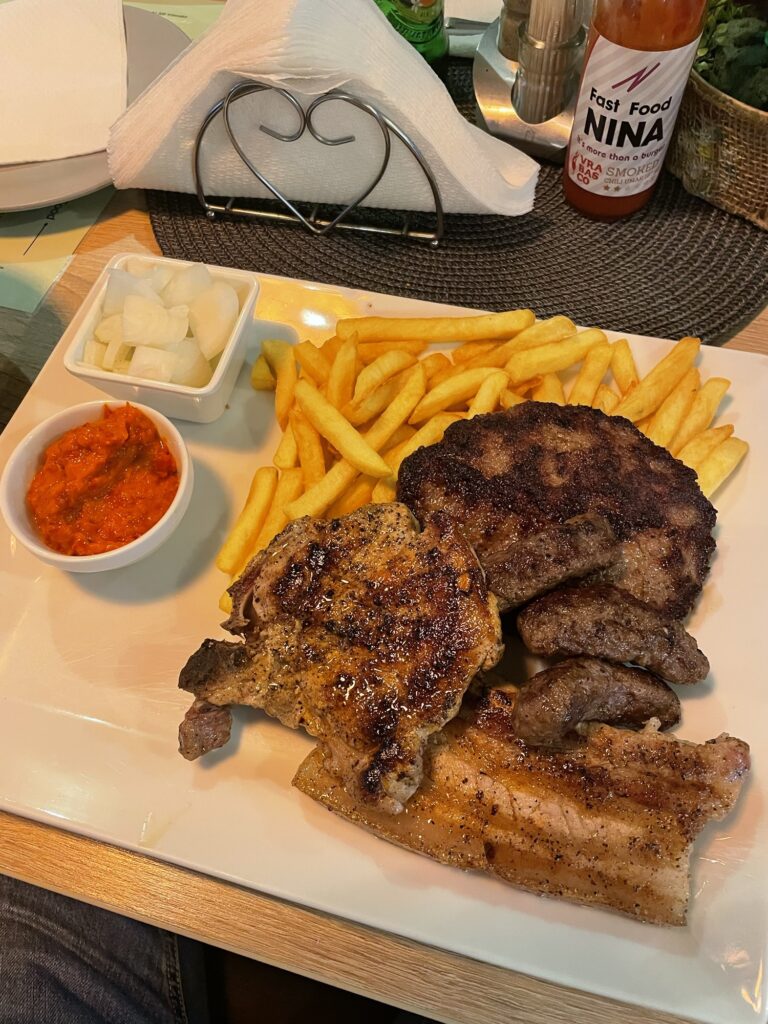
In Vrbovsko we have a nice apartment again. I was pretty hungry during the day, so I was happy that there was a grill restaurant in this village called Fast Food Nina, and Nina made pretty tasty ćevapčićis in fact.
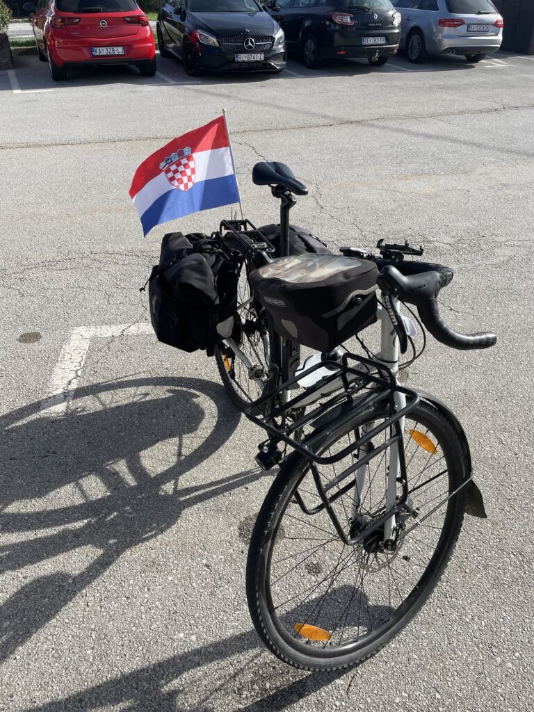
I cycled more than one thousand kilometres now after three weeks. Progress is good, and my shape is getting better and better. Tomorrow is a work day. On Tuesday, we will continue towards Rijeka – back to the coast – where we will meet with Freek.