Into the mountains

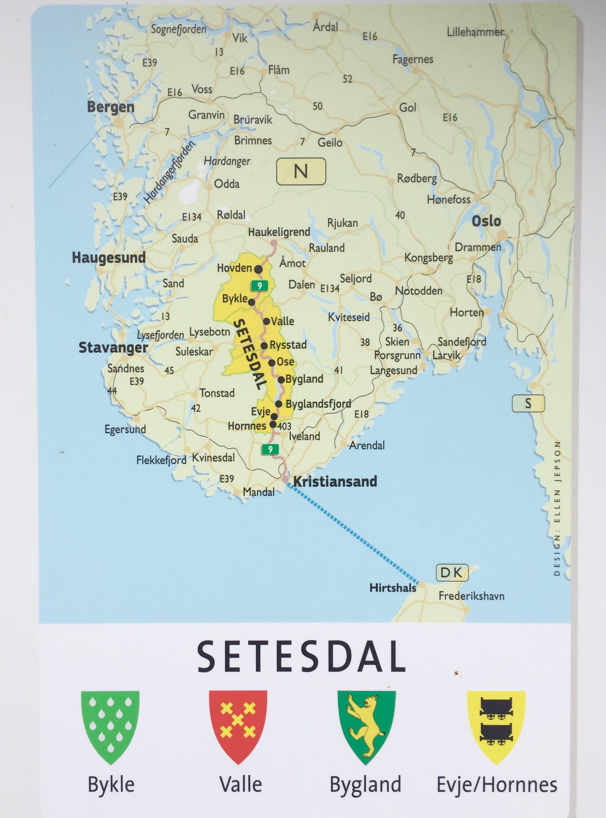
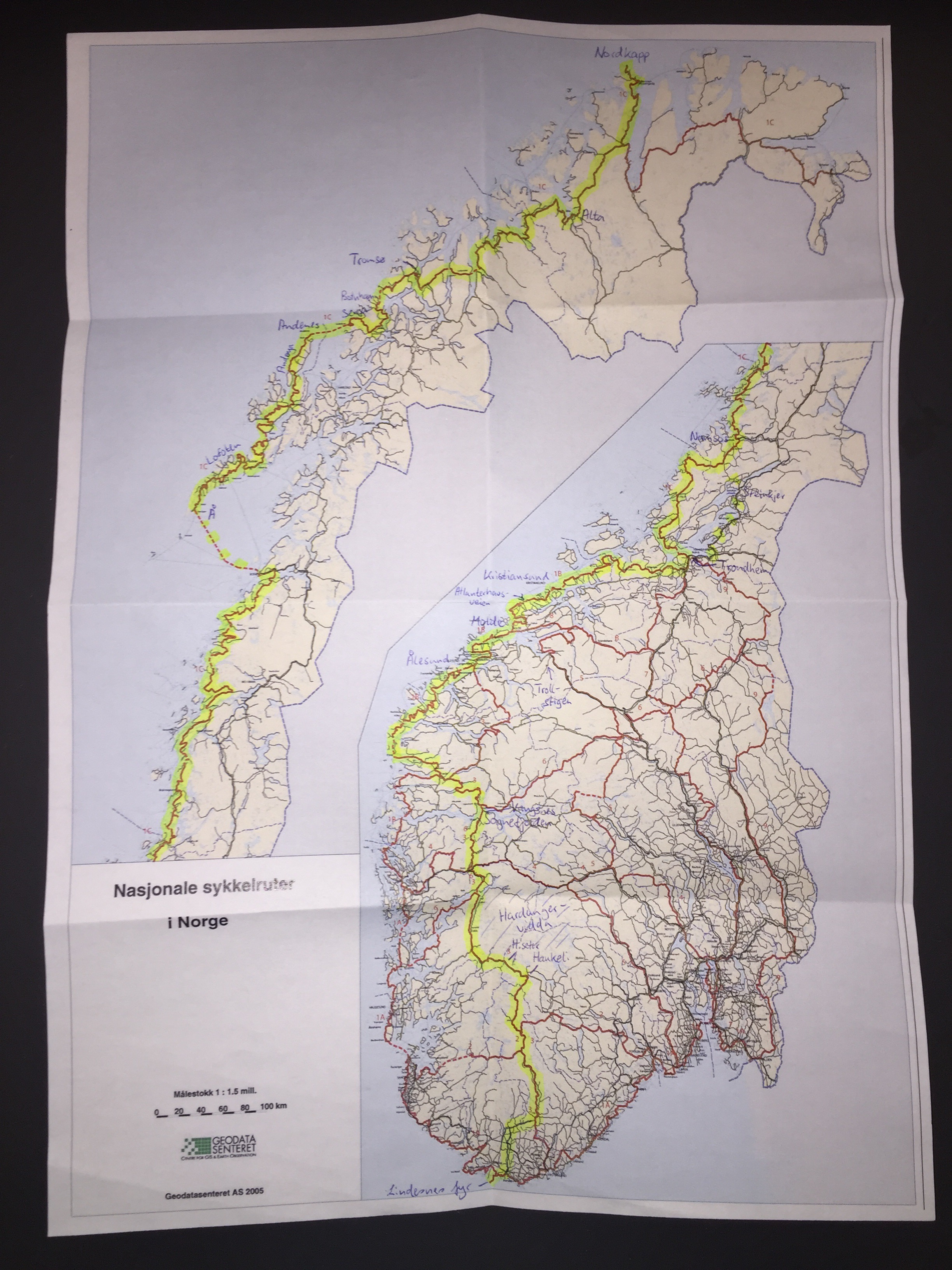
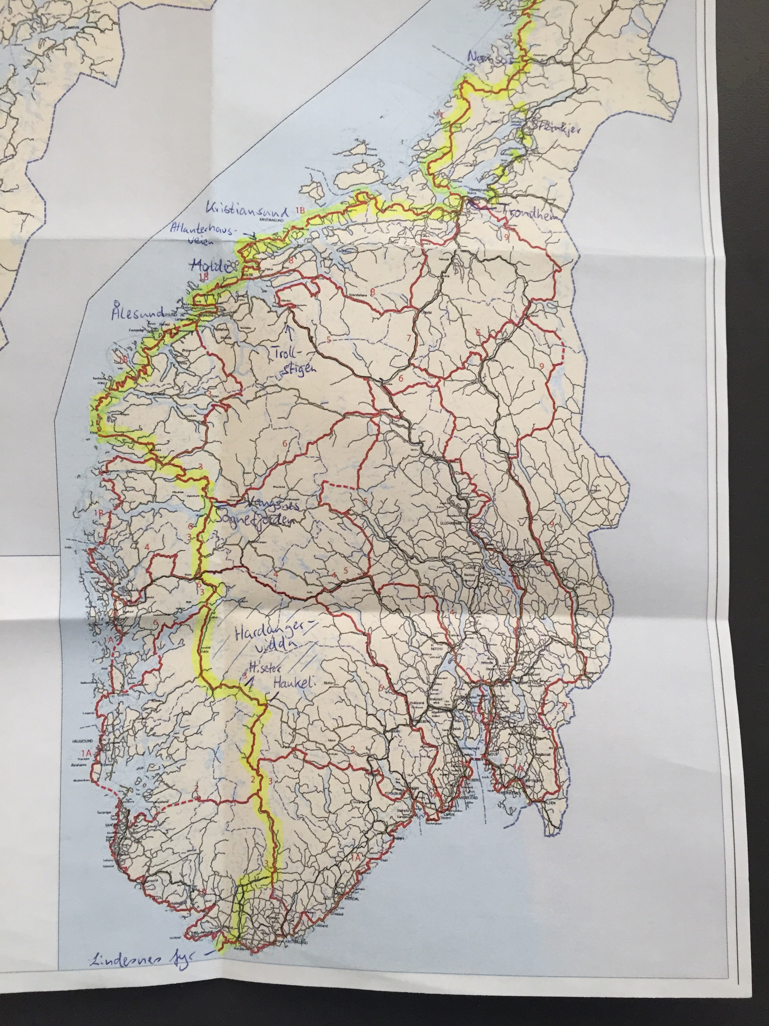
Bykle-Haukeliseter (84 km)

The sun was shining on my tent when my alarm rang at seven o’clock this morning. Although it was becoming quite warm in the tent, I preferred to stay on my comfortable Exped mat which can be turned into a chair, and have breakfast inside. 

The bike ride started with a small uphill stretch and then a rather flat part. After 25 kilometres, I reached Hovden – a ski resort in the winter. Here I had a short coffee break and bought new freeze-dried dinners in a sports store. They didn’t have Real Turmat, so I have to try Summit To Eat instead. 

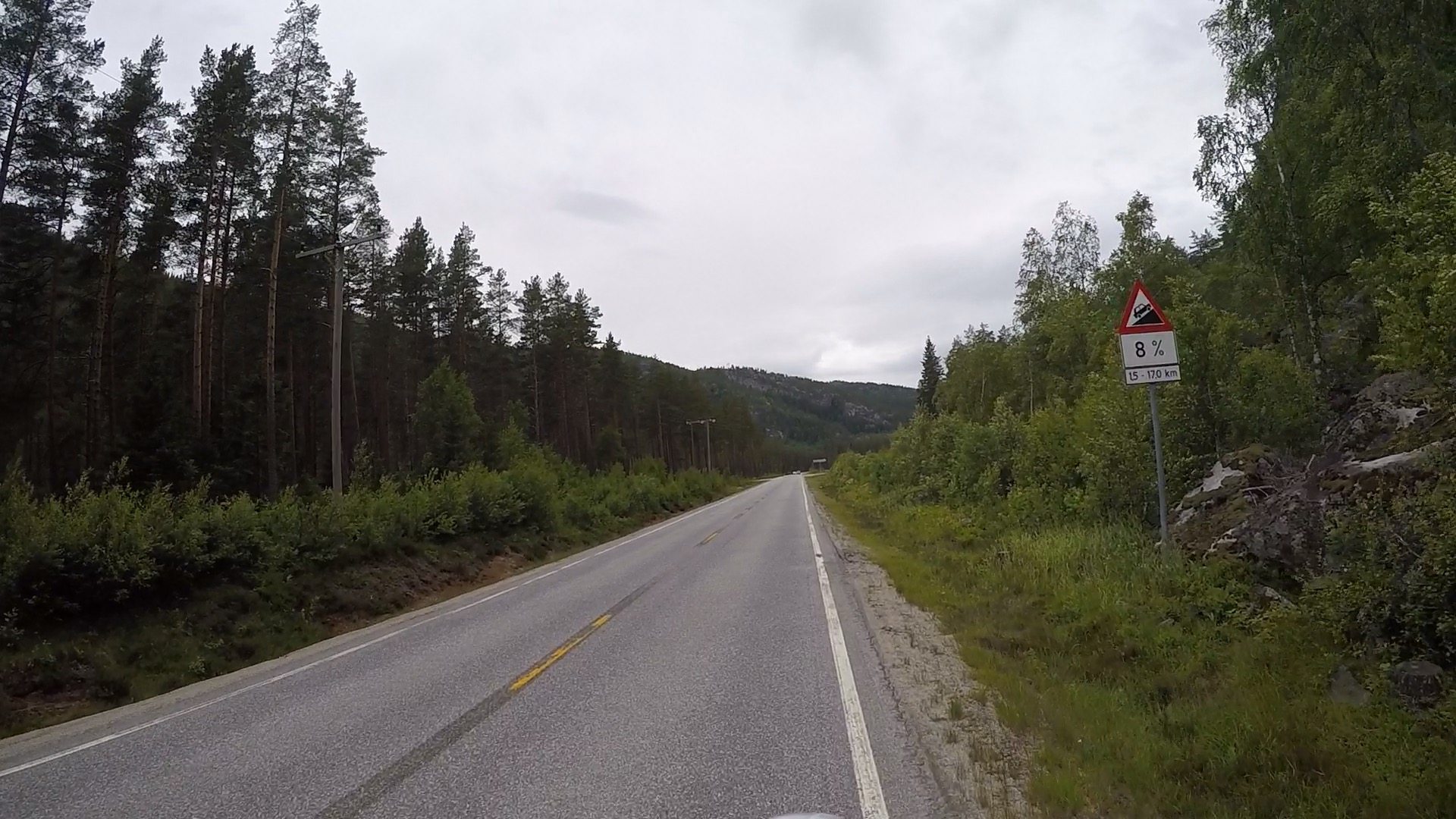
From Hovden there was a bit more uphill to go before I started a long descent down to Haukeli. Here I turned left on route E134 towards Haugesund, which had a bit more traffic than the E9 I was on before (but not too bad).

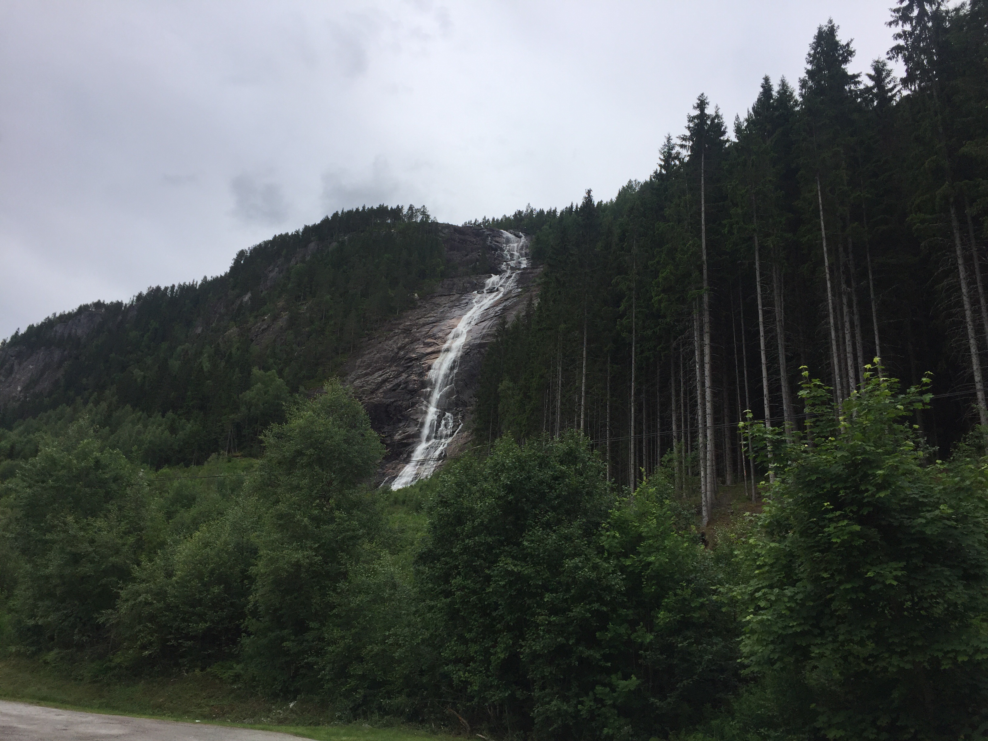
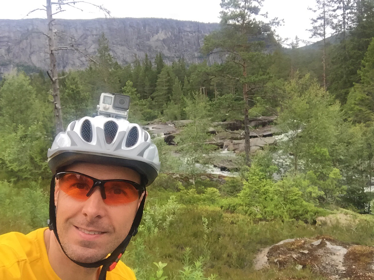
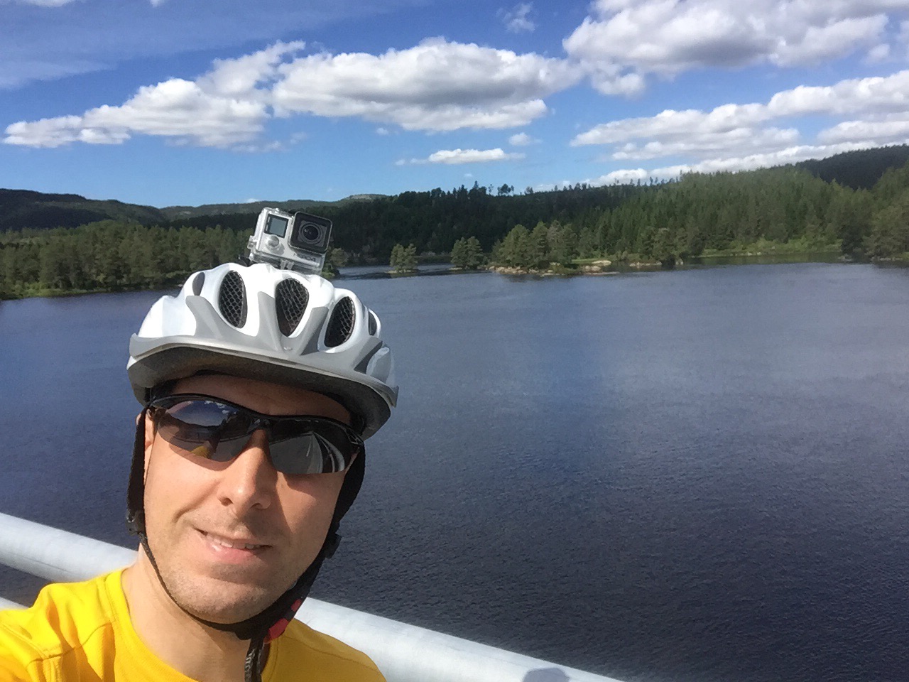
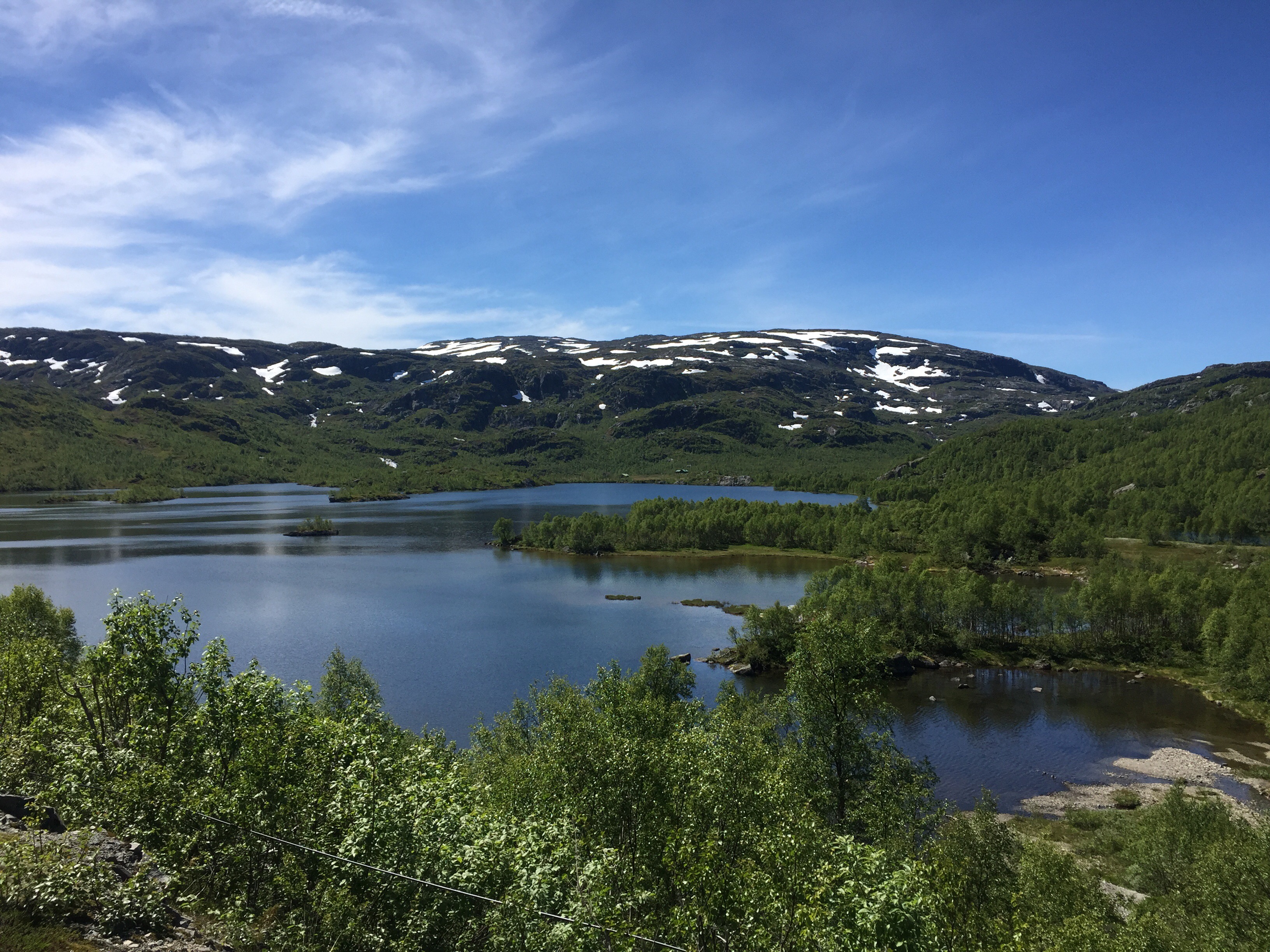
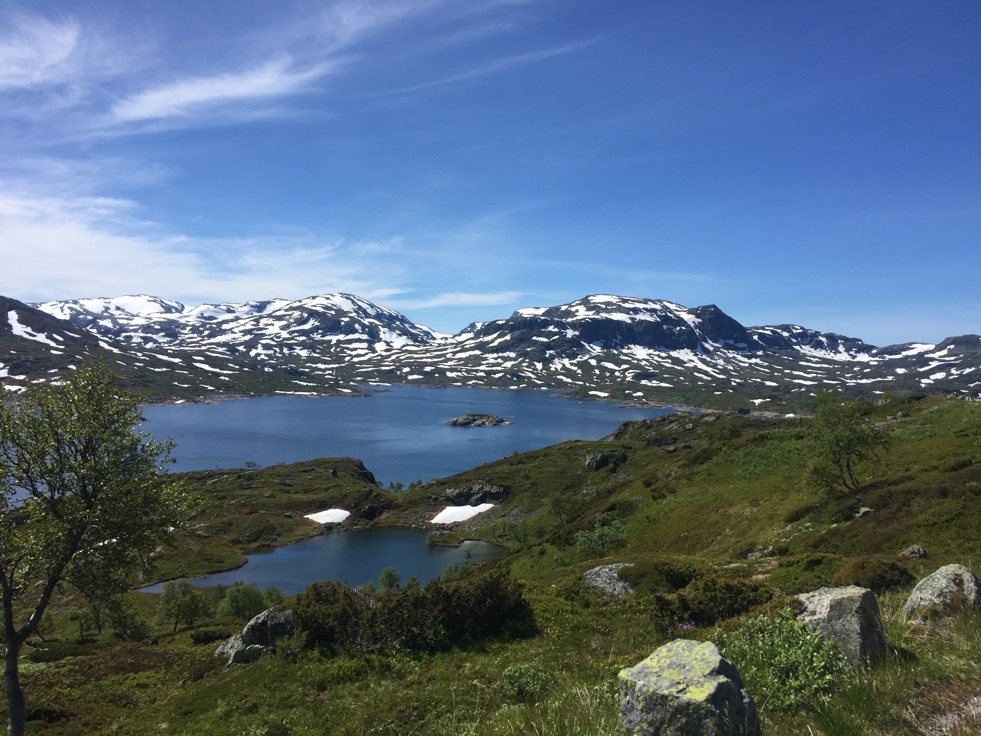
From Haukeli it was a steady ascent up towards Haukeliseter fjellstue, the mountain lodge where I am staying tonight. 10 kilometres before my goal, the main road went into a tunnel. So I had to take the pass over the mountain instead. I was rewarded by a beautiful landscape with the Kjelavatn lake to my feet and mountains with single snowfields all around. I took quite many stops to take pictures today. 

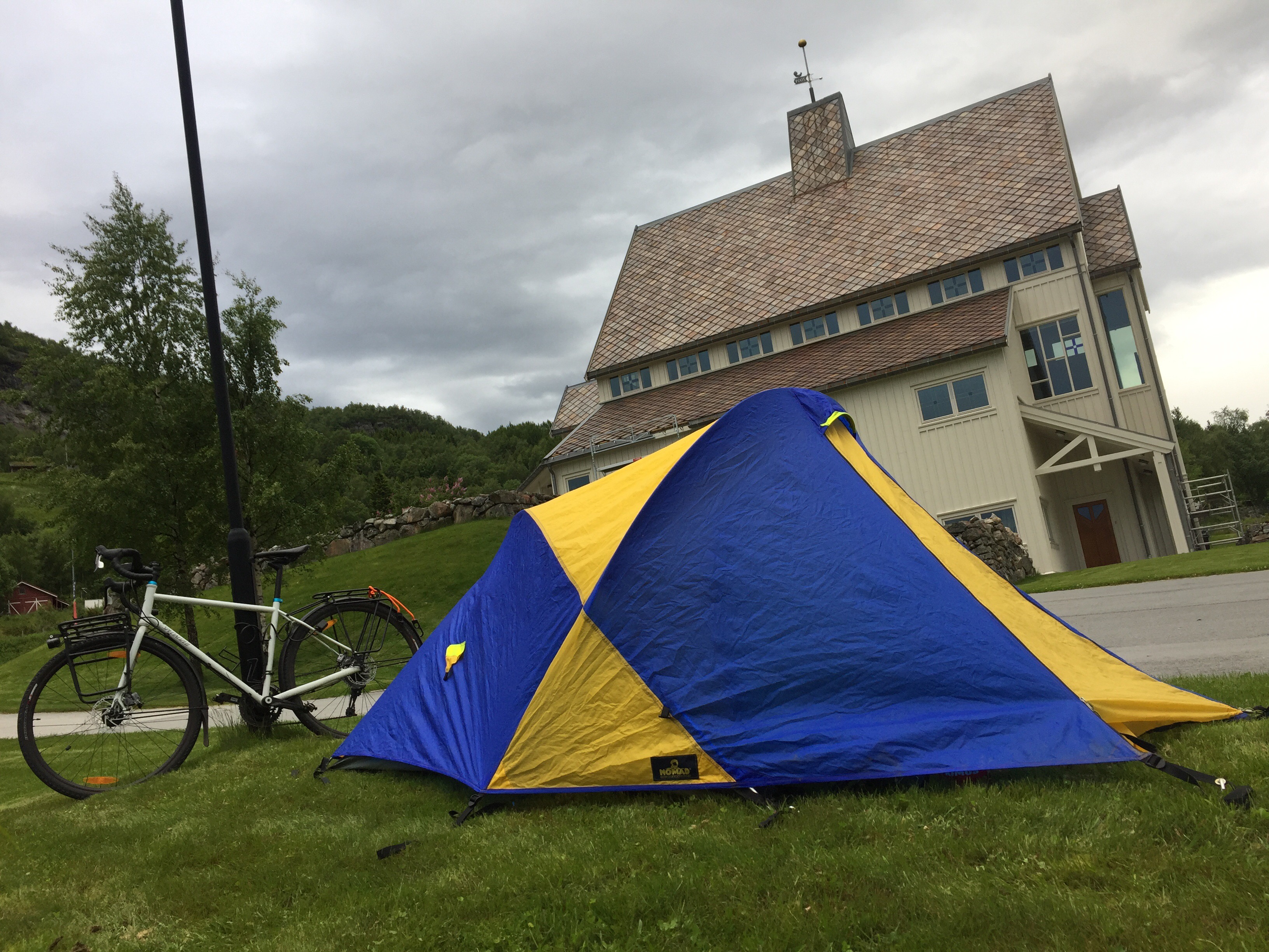
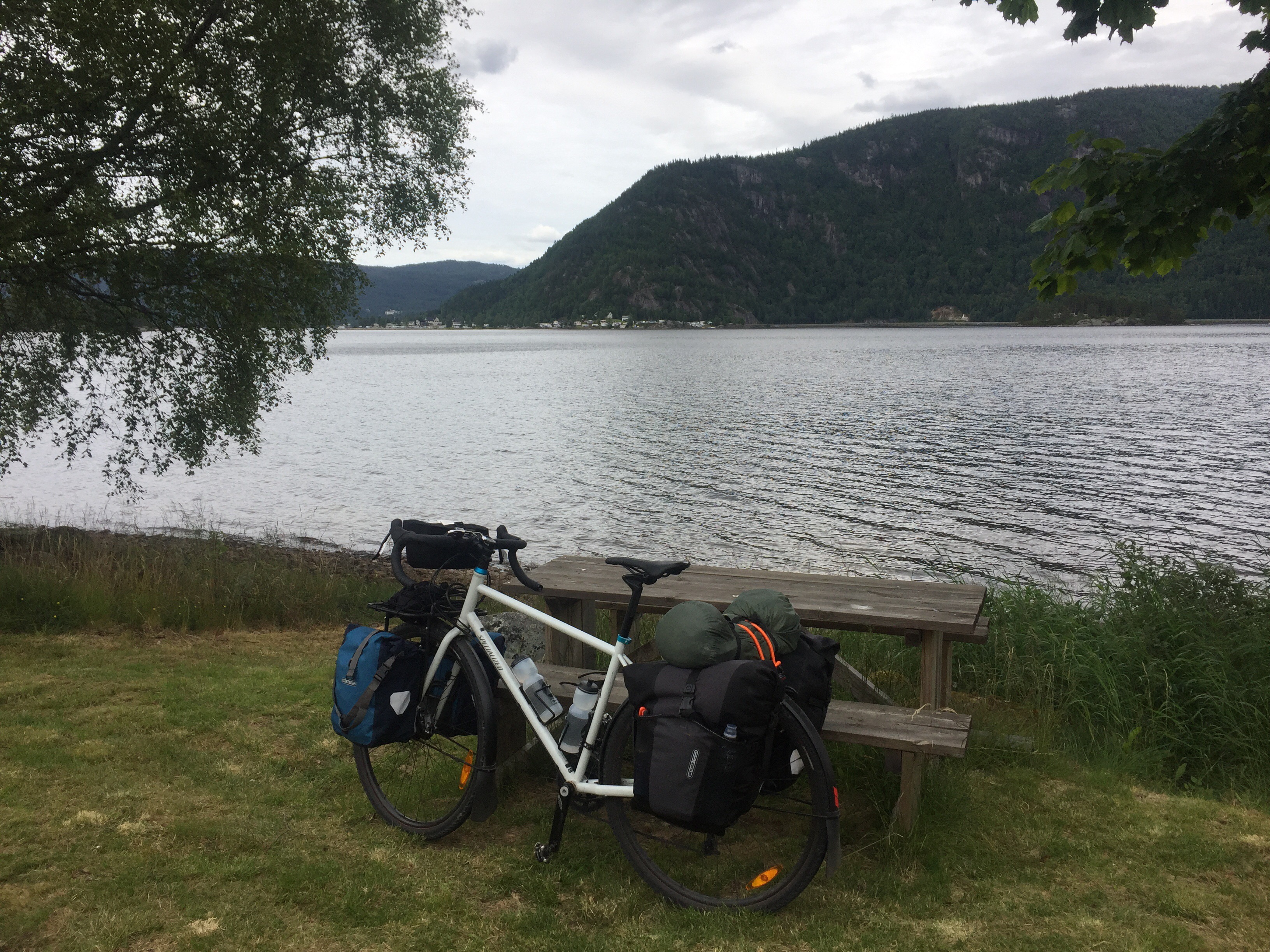
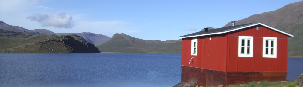
Back on the main road I cycled the last few kilometres to Haukeliseter, which is located at Ståvatn – another beautiful lake. I will sleep in a regular bed tonight and it seems like I have the room for myself as well. Since it is Friday, I already enjoyed a Radler/Alster (beer with sprite) in the sun. And I am very much looking forward to a three course dinner with pheasant as main course tonight (guess a red wine goes well with the bird).

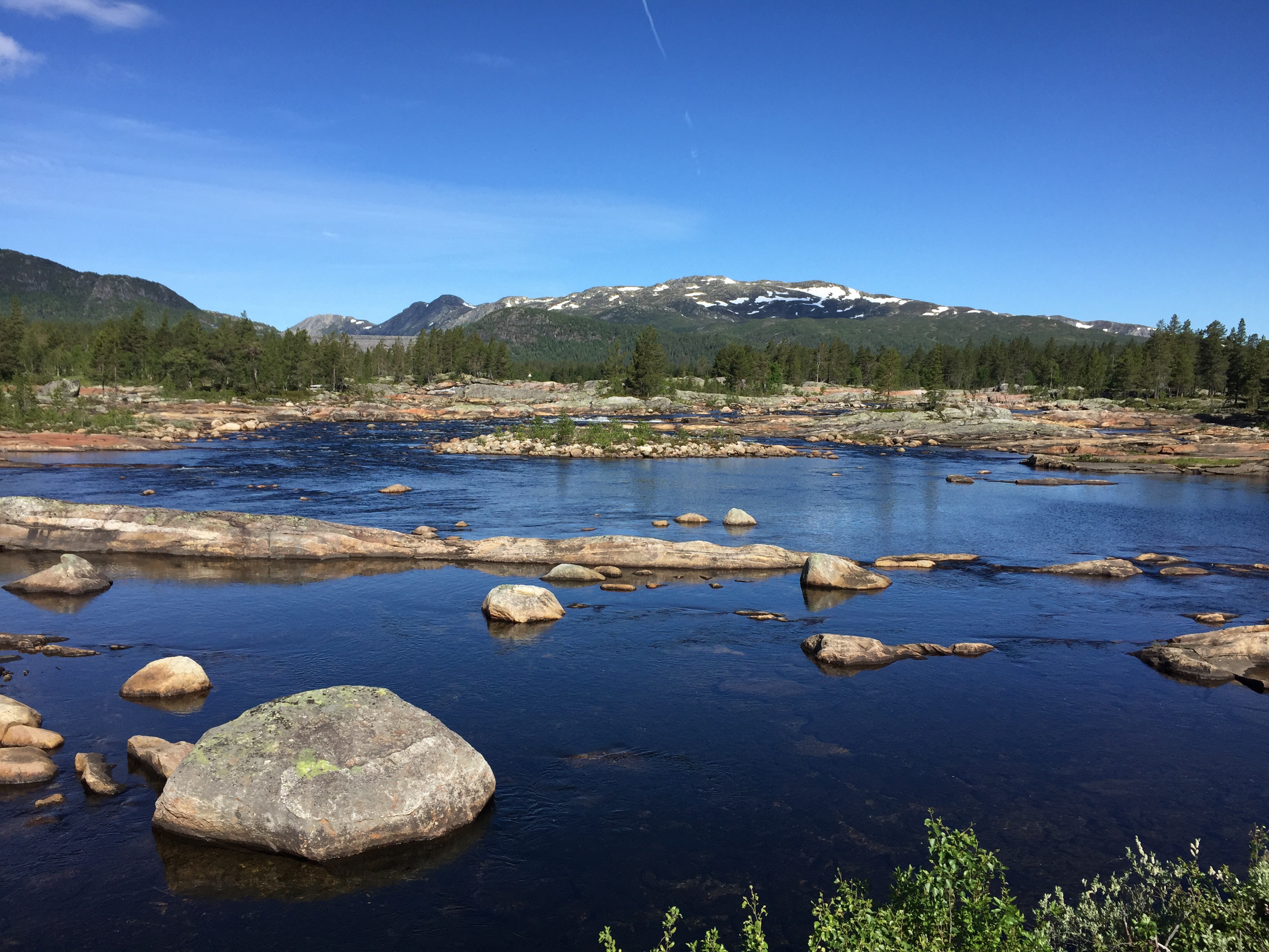
I took many photo breaks today
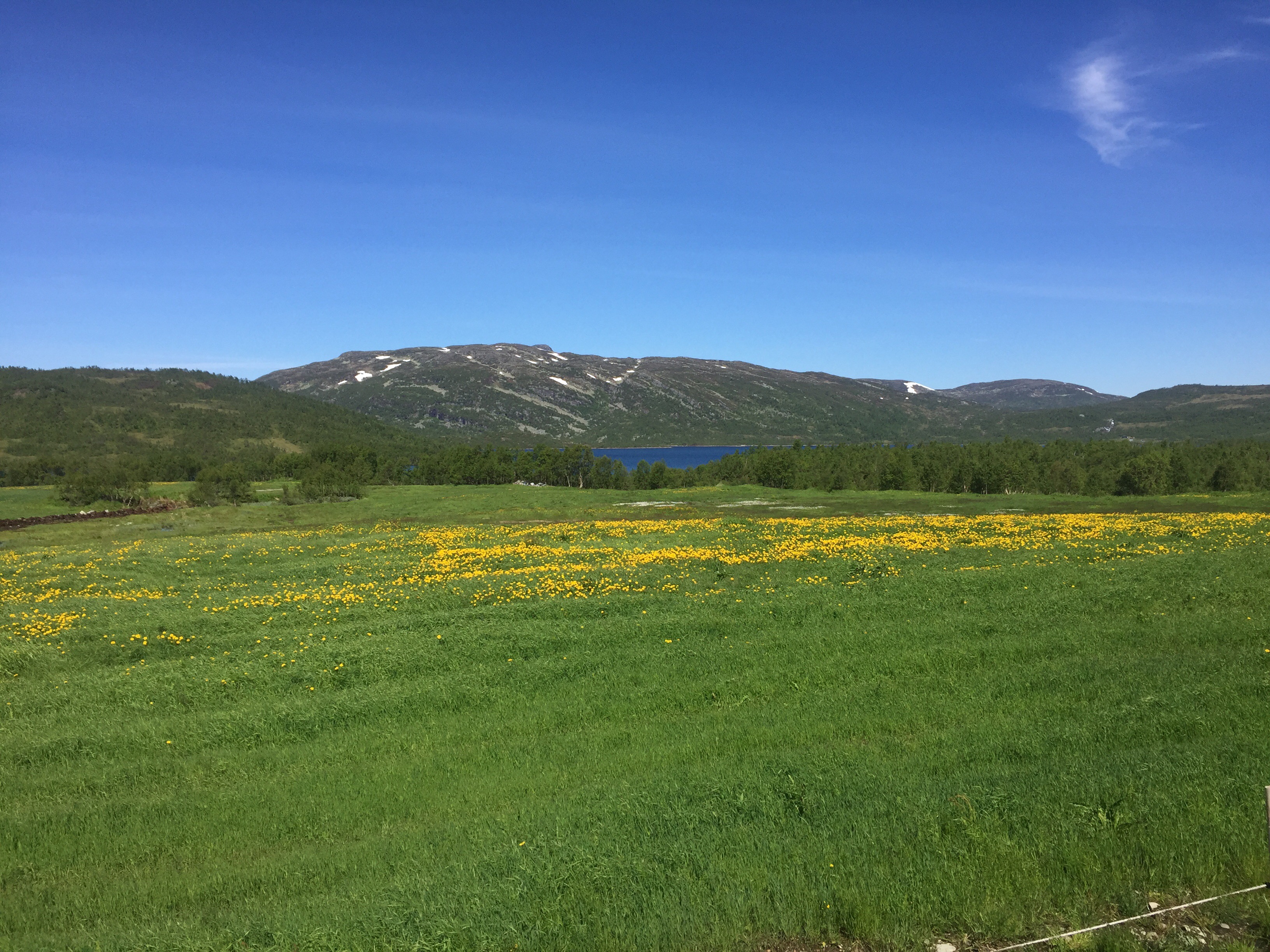
Nice colours

Snow fields in the background
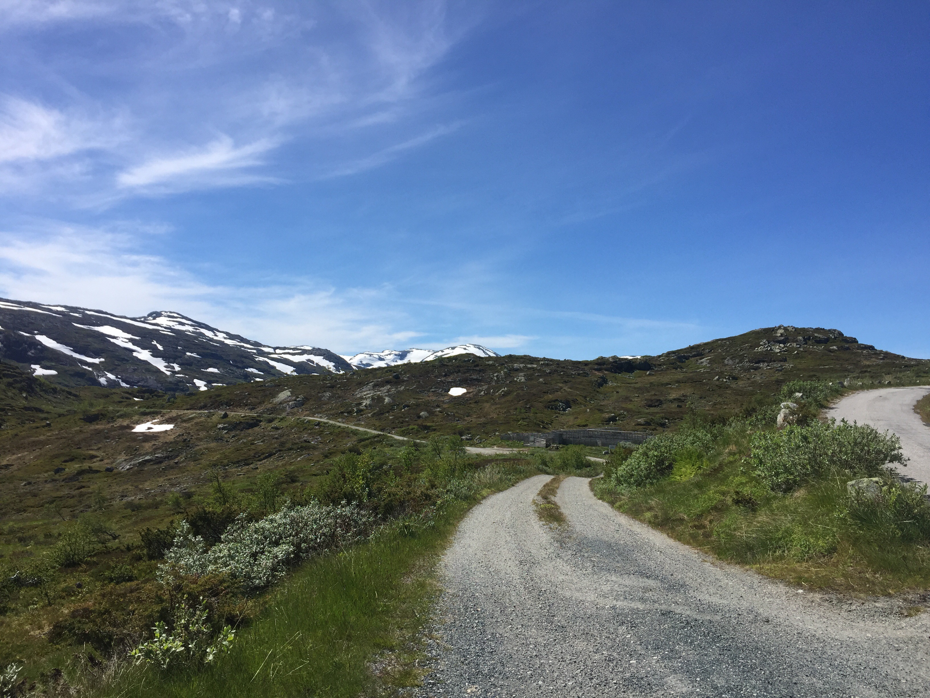
Very nice detour

Winding road behind

View over Kjelavatn

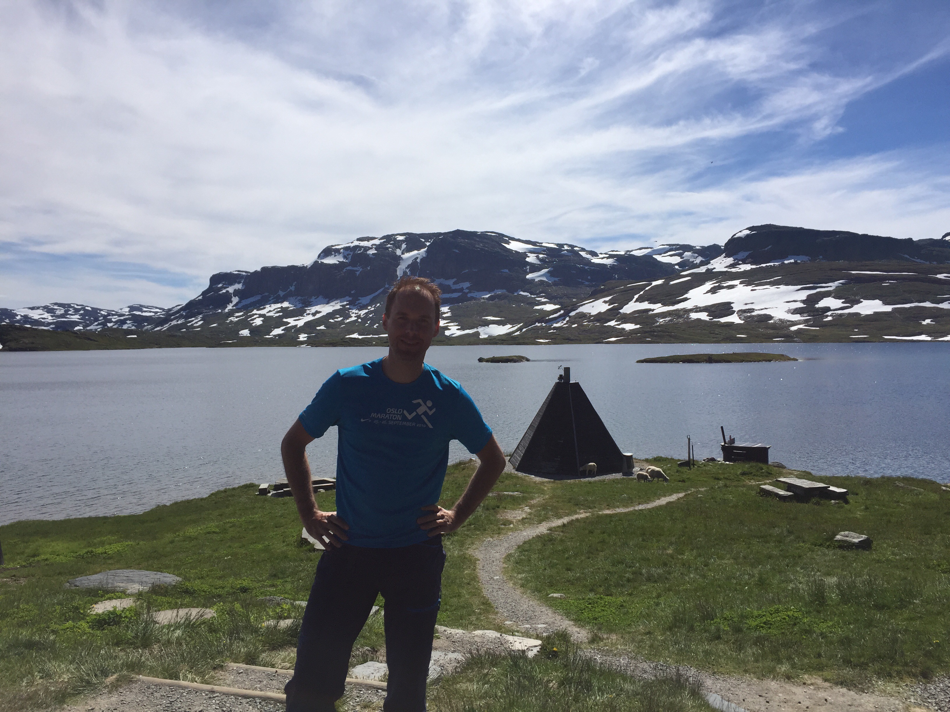
At Haukeliseter fjellstue

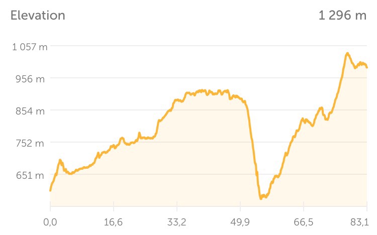
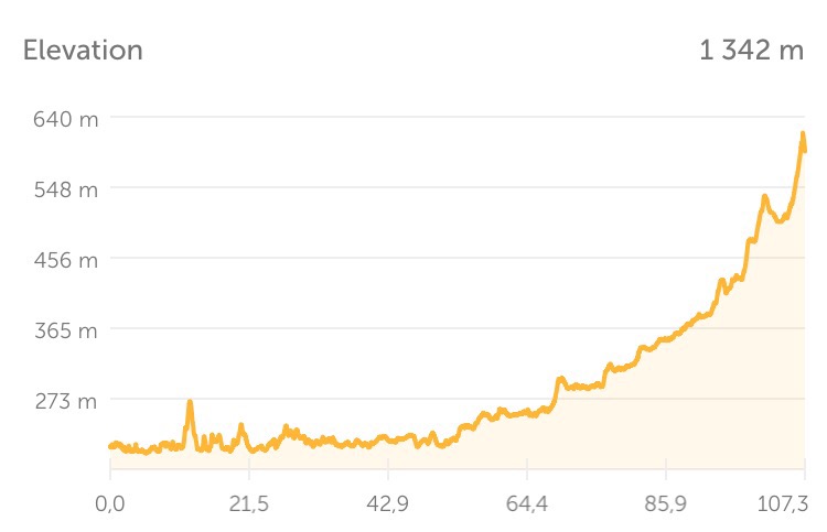
Today’s elevation profile

Setesdal

Day 3: Byglandsfjorden-Bykle (107 km)

The night was a bit rainy after all, but luckily in the morning it was dry and only overcast. I continued my journey on the west side of the Byglandsfjord. It was a very nice, woody road with literally no traffic at all (I met one car on the first 20 kilometres). I saw a very pretty woodpecker from close distance, but couldn’t get my GoPro camera running so quickly. 

After 40 kilometres along the fjord, I reached a village called Osa. I went to the local grocery store (Coop marked) and enjoyed a free coffee and a little chat with two gentlemen. The lady who worked there told me that there are five (!) people who live in Osa. But they have a grocery store!

The whole trip today took me through the beautiful Setesdal valley – always next to the fjord or following the Otra river. My lunch break was in Rysfjord where they have a petrol station. Circle K has “always a wiener for 10 kroner”, so easy choice for main course 1 and 2, accompanied by some fruit and kefir drink. 

My goal today was to reach Bykle, so that I have a manageable distance for tomorrow’s mountain stage to Haukeliseter. The last kilometres to Bykle at almost 600 metres above sea level were quite a climb, too. So I was content when I reached my goal at half past four. 

I set up my tent on a lawn next to the church. It started raining again just before I arrived, but it’s supposed to be nice weather tomorrow. 

Reiårsfoss waterfall

Weather not so great – nature great

Into the mountains

Let’s camp next to the church, Mr. Nansen said.

Map of Setesdal valley

Close to winning the red and white dotted jersey now

At Byglandsfjorden

Svenevig-Byglandsfjorden (113 km)

I started the day with breakfast in bed because I was too lazy to get out of the tent for it. It was a sunny morning, and I started cycling from Svenevig around 9 o’clock. I first had to pass through Vigeland once more, my starting point from yesterday, and then further north on road 460. 

After a bit more than 3 kilometres, however, I noticed that I wasn’t wearing my gloves. So I figured that I must have either forgotten them at my tent spot or put somewhere on the bike when I left and lost them on the way. I returned to my camp, but they were not there. Nor did I find them lying on the road somewhere, so it seems like I have to buy a pair of new ones eventually. Fortunately, it wasn’t a more vital thing I lost, so I continued cycling without. 

I cycled through a sunny and wide U-shaped valley after I passed Vigeland towards Sveindal. (Quiz question for geology nerds: If a valley is U-shaped, is it formed by a glacier or a river?) The last bit up to Sveindal was quite steep, so the name (valley) was misleading really. From here I continued on road 42 which started with an even longer and higher slope. Although I have most of the climb up to Haukeliseter (at 1000 metres) still ahead of me, I got a little taste today of the terrain to come. 

At Evje I had a little pit stop. One of the parts which link my panniers to the front wheel had broken. The second one actually. In order to fix it I had to borrow a pair of pliers. (Udo told me I should have them in my luggage, so now I agree.) Luckily, Evje also had a building supplies store, so now I’ve got my own pliers and some extra screwdrivers (of which I only need one really, but they are super-light).

Finally, I arrived at Byglandsfjorden and found another nice spot for my tent here. When I opened my bags to prepare dinner, I found out that I had had a small “eggcident.” I bought this plastic container for six eggs because I thought it would be very nice to have eggs and bacon for breakfast from time to time. Well, two of them were broken and the container was not quite egg-yolk-proof. Fortunately, almost everything else was packed in small plastic bags. So after a small cleaning job, everything is fine again. 

It is half past eight and I will go back to my tent soon. There are some few raindrops falling, so I set up my tent rainproof tonight. The forecast for tomorrow is still OK though, so I hope there will be no more rain. I have around 190 kilometres to go to Haukeliseter where I am going to enjoy a nice three-course dinner in two days (which is after all even better than the Real Turmat chicken with lime I had tonight). My plan is to cycle a bit more than 100 kilometres tomorrow, so that I will have a slightly shorter day on Friday. 

At Mandalselva south of Sveindal

Camp at Byglandsfjorden

Elevation profile of the day

Lindesnes

Day 1: Vigeland-Lindesnes fyr-Svenevig (44 km)

The long trip has started. I reached Vigeland at 13:30, and instead of waiting for two hours for another bus which could have taken me closer to Lindesnes fyr lighthouse, the intended starting point of my trip, I decided to cycle there instead. This meant 27 kilometres of cycling in the wrong direction, but given the distance which lies ahead of me, this seemed neglectable. 

I reached Lindesnes fyr at 15:30 and took some compulsory pictures there. I can certainly say that German tourists are well represented here, so Norwegian or English skills wouldn’t have been necessary. The lighthouse itself is a picturesque landmark, so I stayed some time to take pictures and enjoy a cup of coffee. 

They had a book there in which all Norge på langs tourists can write a greeting. So I took some time to read the stories of my predecessors. Most people seem to travel the other way around – from north to south. So this was there endpoint. Many of them were cyclists, but many of them have also walked/skied the whole way (which is the real Norge på langs challenge, I assume). My favourite quote in the book: “This trip must be experienced. But it cannot be recommended.” (“Turen må oppleves, men anbefales ikke.”)

I was not going to cycle long today. After another 17 kilometres in the opposite, that means the right direction to the north, I found a lovely bay with a perfect spot for my tent. I’m sitting by the sea now on a bench writing my diary and will soon go into my tent. 

I have booked a room at Haukeliseter fjellstue, a mountain lodge, for Friday. So I have three days to go there which is a bit less than 300 kilometres from here. The weather was great today and is supposed to be fine tomorrow, too – according to yr.no and Mr. Nansen. 

Starting point Lindesnes fyr – Norway’s southernmost point

Punxsutawney Nansen predicts sunshine

2500 km to go to Nordkapp – beeline that is

First camp spot at Svenevig

Norge på langs

For the next six weeks my plan is to cycle through Norway from the south to the north – or “Norge på langs” in Norwegian. I’m currently on the train from Oslo to Kristiansand from where I will take a bus to Lindesnes. Lindesnes fyr is a lighthouse which will be the starting point for my trip. 

From here I will cycle north, pass by the Hardangervidda plateau and cross some of the fjords of the Westland. I plan to reach the coast south of Ålesund and follow it through Molde and Kristiansund. Next stops are Trondheim, Steinkjer, Namsos and then a looong stretch along the coast again to Bodø. From here I plan to take a ferry to the Lofoten peninsula and continue via Andøya and Senja to Tromsø. From Tromsø the final section goes via Alta to Nordkapp – which is my final destination. It’s actually not the northernmost point in Norway, but Mr. Nansen accepted this choice. 

In total I have planned six weeks for this trip of roughly 3100 to 3200 kilometres. In average, my plan is to cycle 100 kilometres per day which would allow me to take a rest day every fifth day. I will try to mostly sleep outside and brought both a tent and a hammock – which I have never slept in before, so that is going to be exciting. PDF version of the map above.