Yesterday, I didn’t have time to write a blog post because I was busy finishing the second video.
Here comes the summary of day 14 and 15:
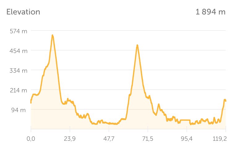
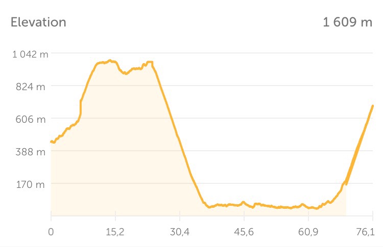
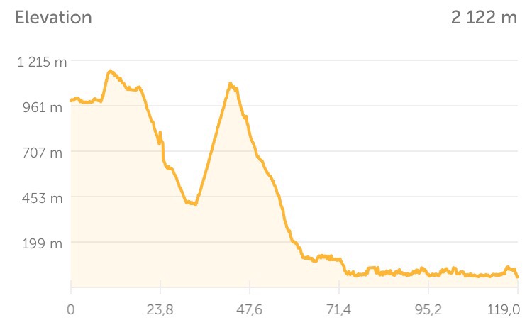
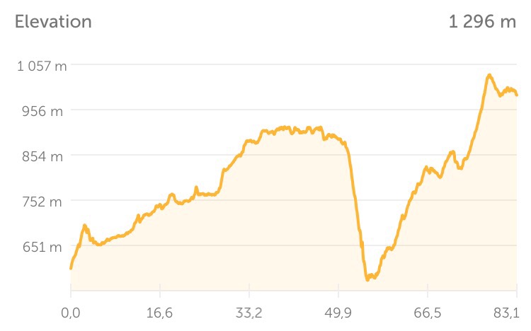
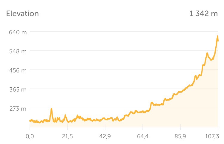
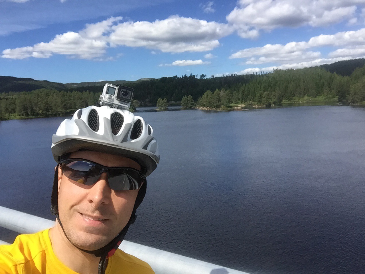
Day 14: Finnøy-Kristiansund (117 km)
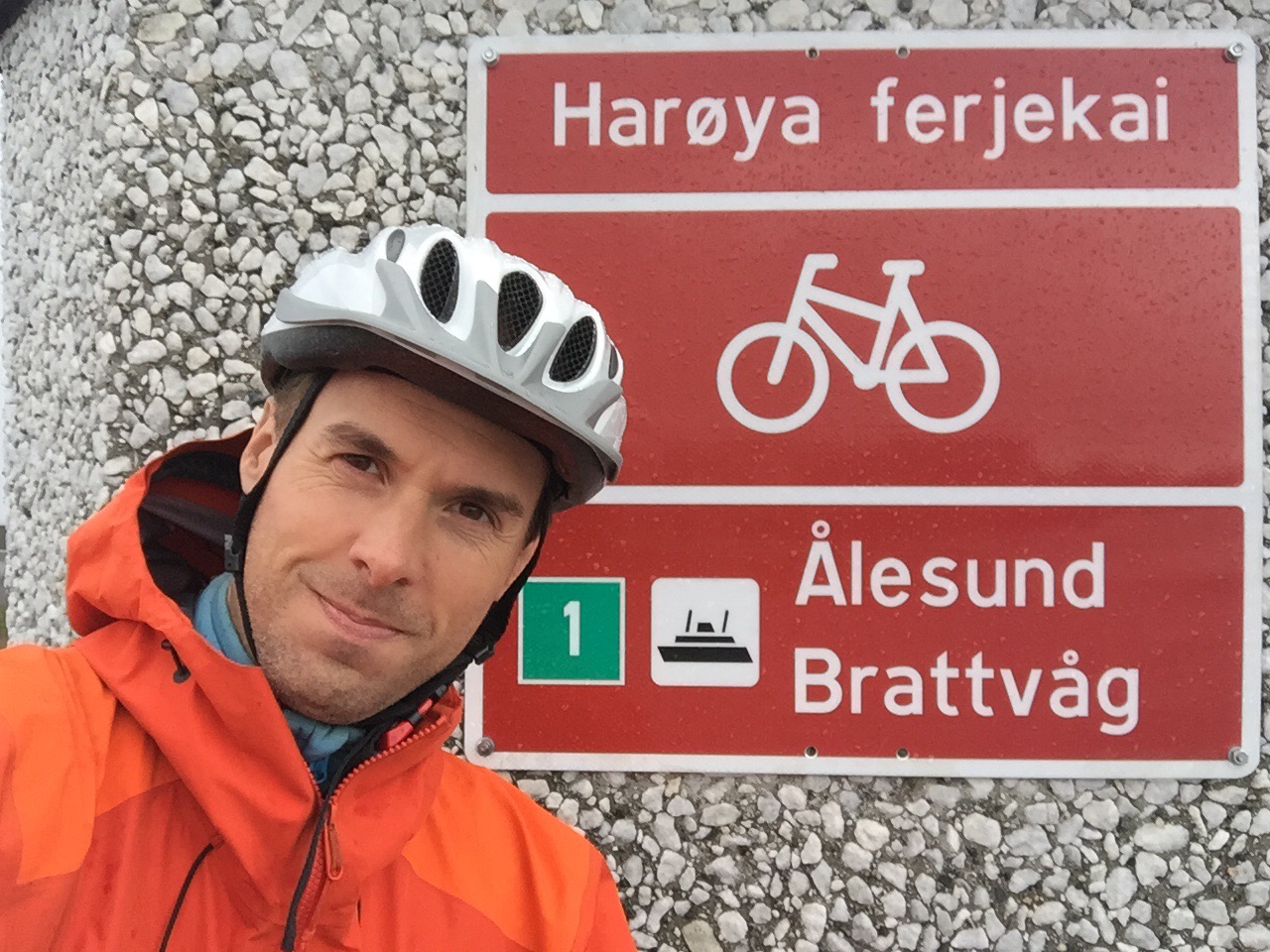
I had an early start on Finnøy because I had a long stage ahead of me to Kristiansund, including two ferries. So without any breakfast in the tent, I boarded the first boat from Finnøy to Småge on the island Gossa. Fortunately, they had coffee and sveler (Norwegian pancakes) on this boat, so I could enjoy my breakfast on board.
From Småge, I hurried the 10 kilometres across this island to catch the next boat forty minutes later. I saw a small deer on my way and caught the next boat from Aukra to Hollingsholmen.
Here I had two options: either go south and make a detour to Molde or head north and go directly to Kristiansund. I decided not to take the detour this time and go directly to Kristiansund.
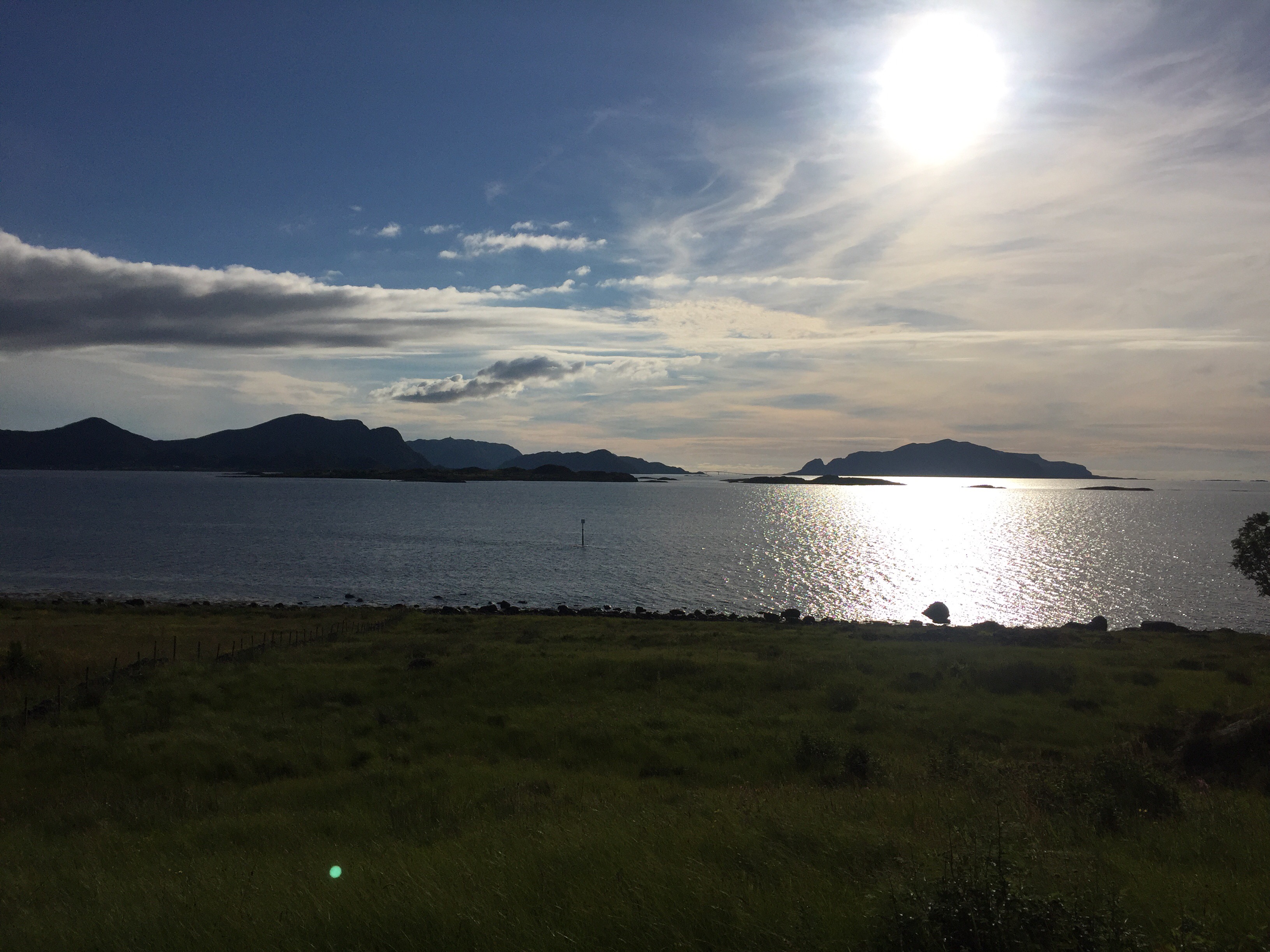
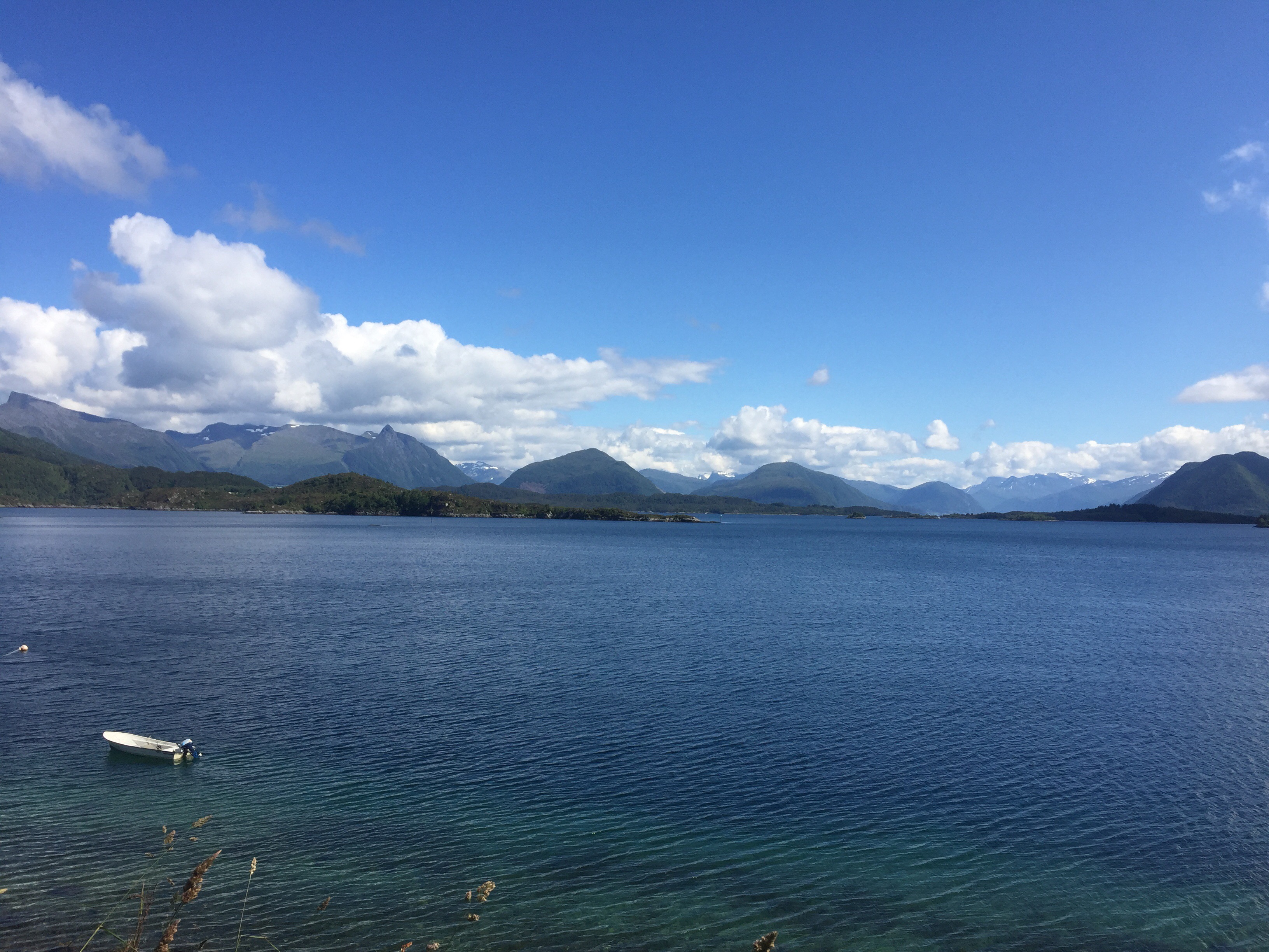
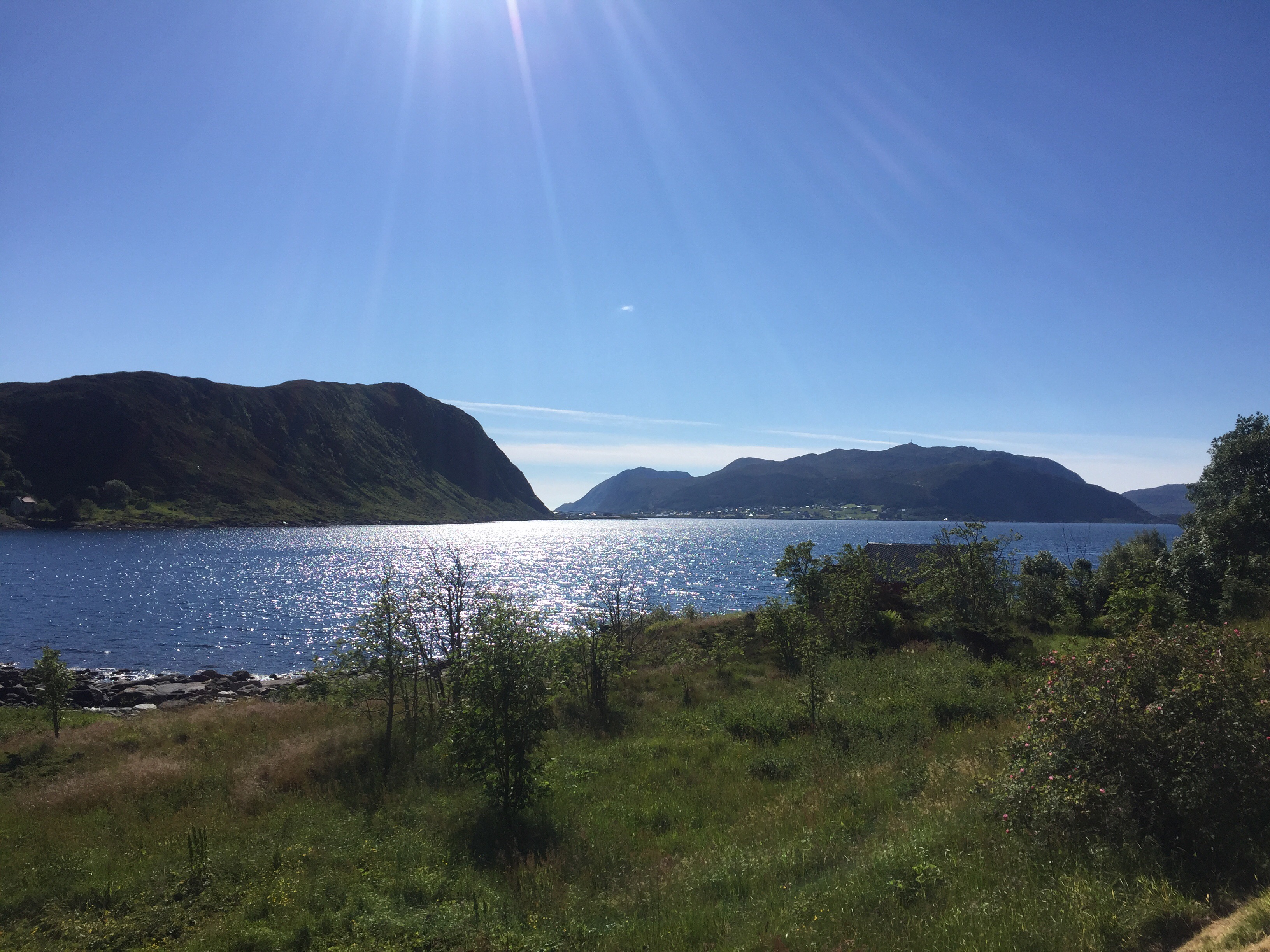
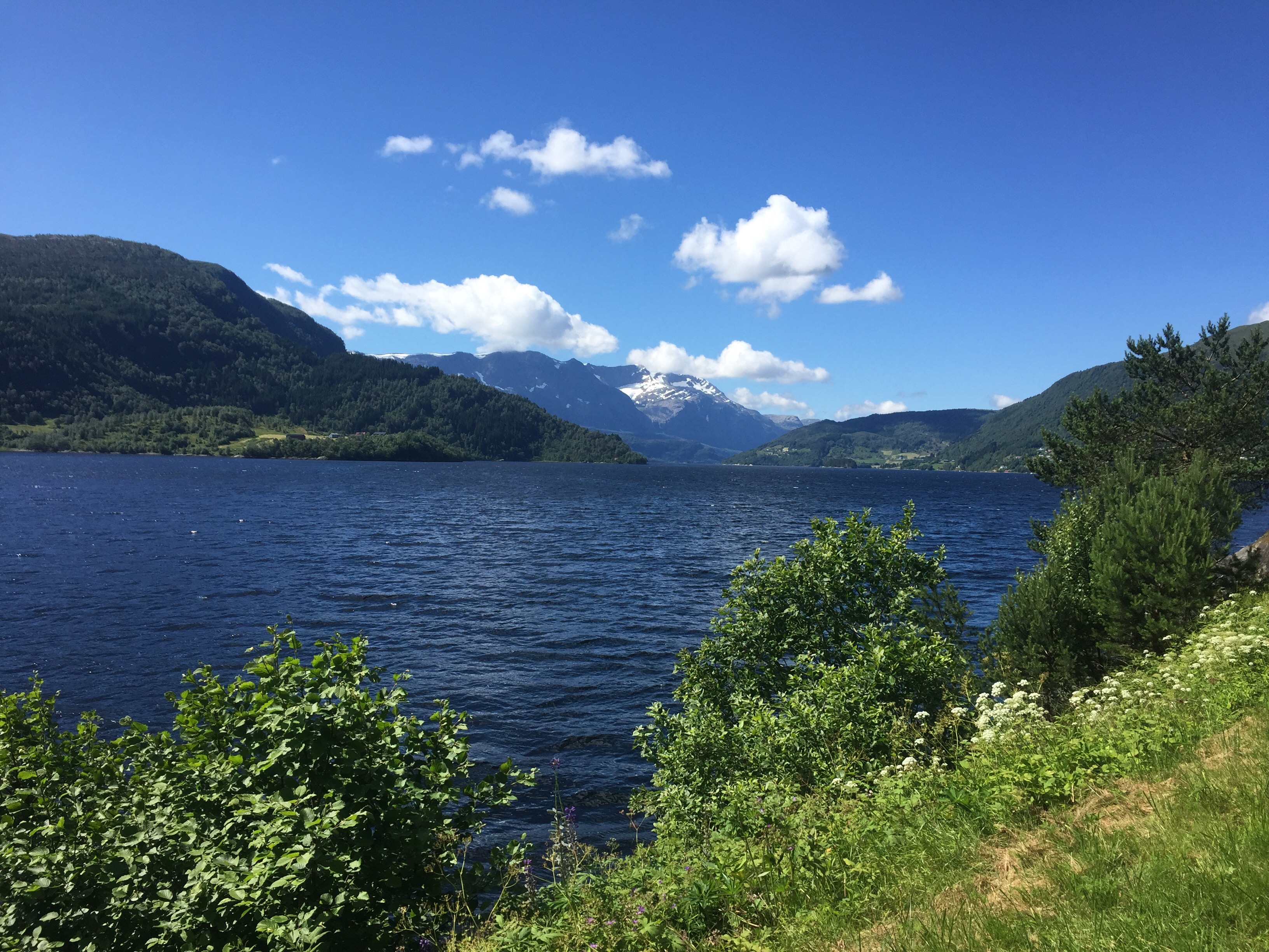
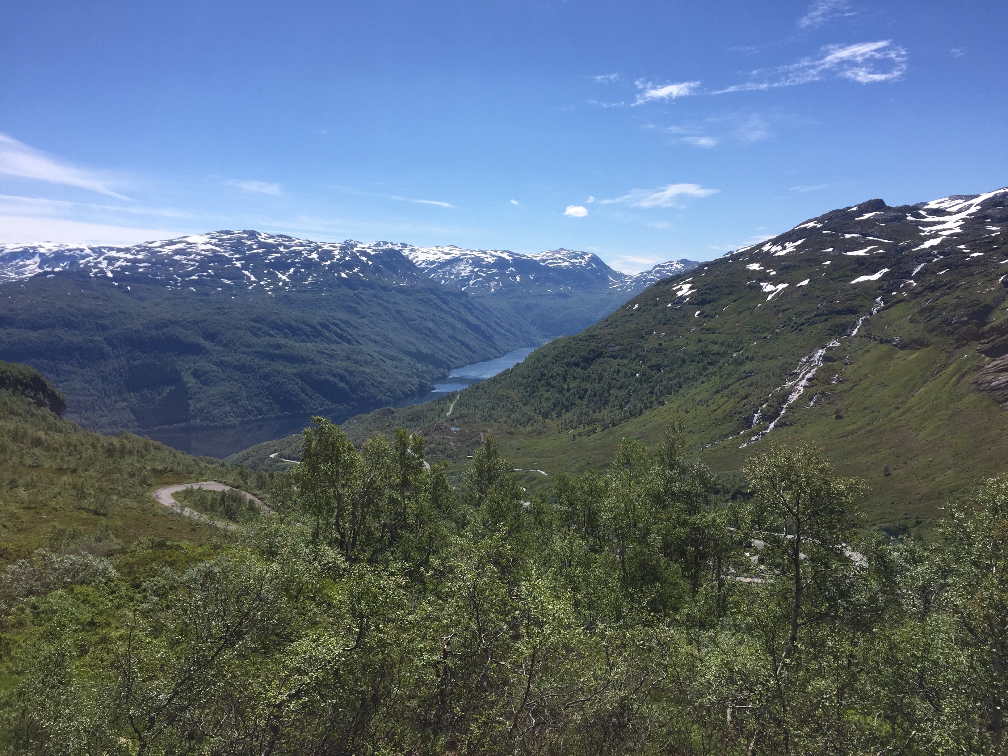
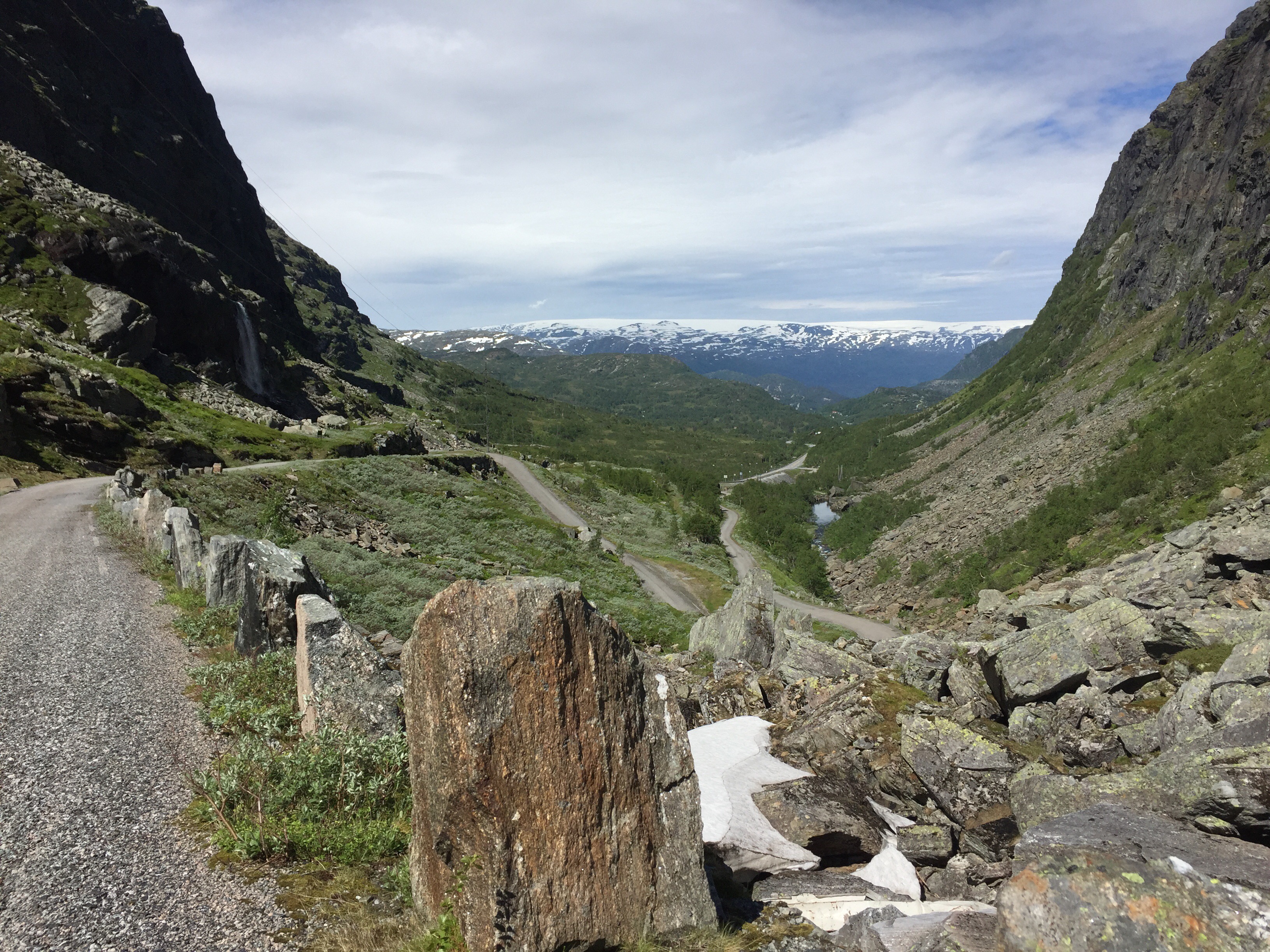
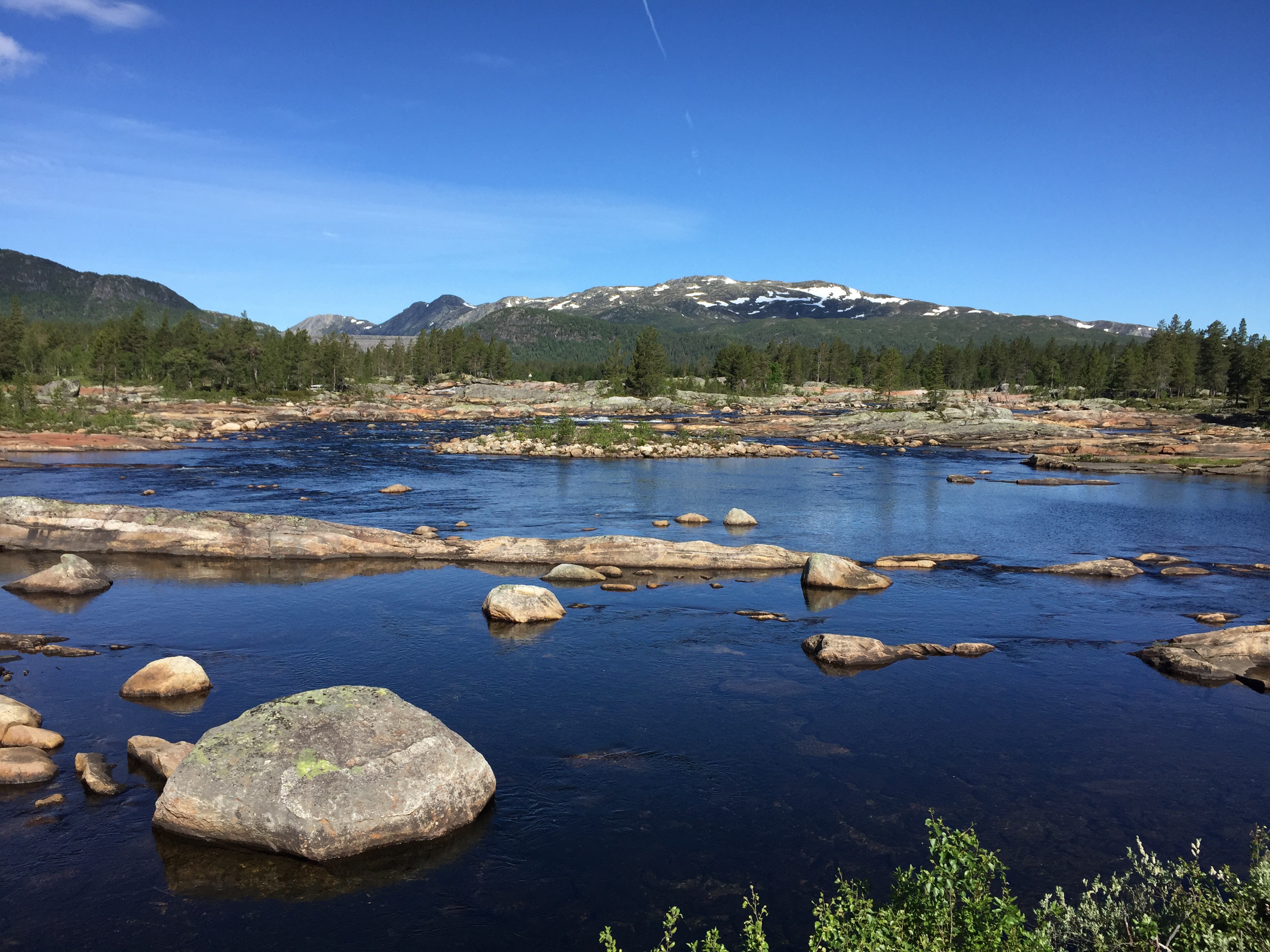
The route followed the coastline almost all day. First I cycled along Harøyfjorden and Frænfjorden. Then, from a small place called Bud, the road followed the open sea. This part of the route is called Atlanterhavsveien (Atlantic Ocean Road). Especially, the last part from Vevang, crossing a number of bridges and small islands, is very scenic and has been voted Norway’s construction of the century by the Norwegian people and the world’s most beautiful road for cars by The Guardian.
The last part of this stretch led me to the north of the island Averøy. From here, there is a long tunnel (Atlanterhavstunnelen) towards Kristiansund, which is forbidden for bikes. The local public transport has a taxi service, so I covered this last part by taxi and stayed in a hotel in Kristiansund.
Here, I finished the video above and tried to upload it on YouTube, but it was blocked there because of background music which the rights owner has protected – thus the GoPro link above. I need to change the music on the original file and upload on YouTube later again.
Day 15: Kristiansund-Kyrksæterøra (102 km)
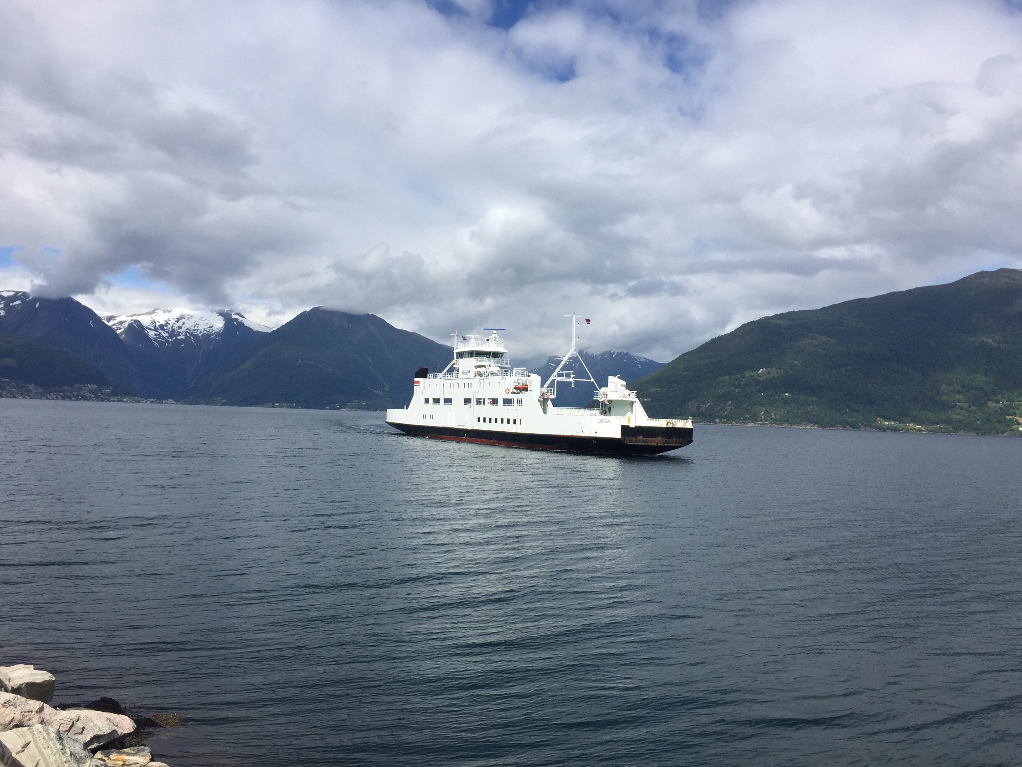
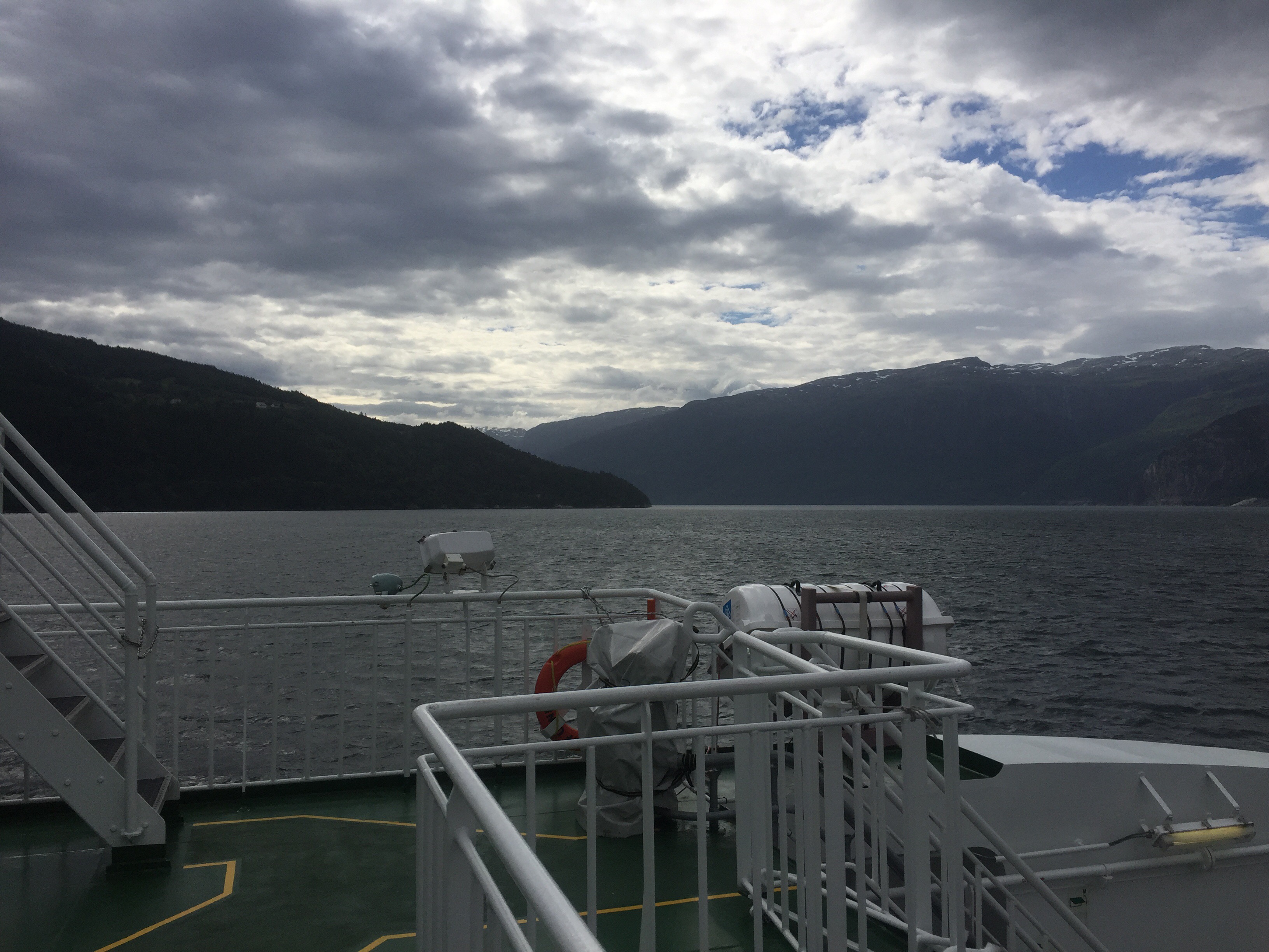
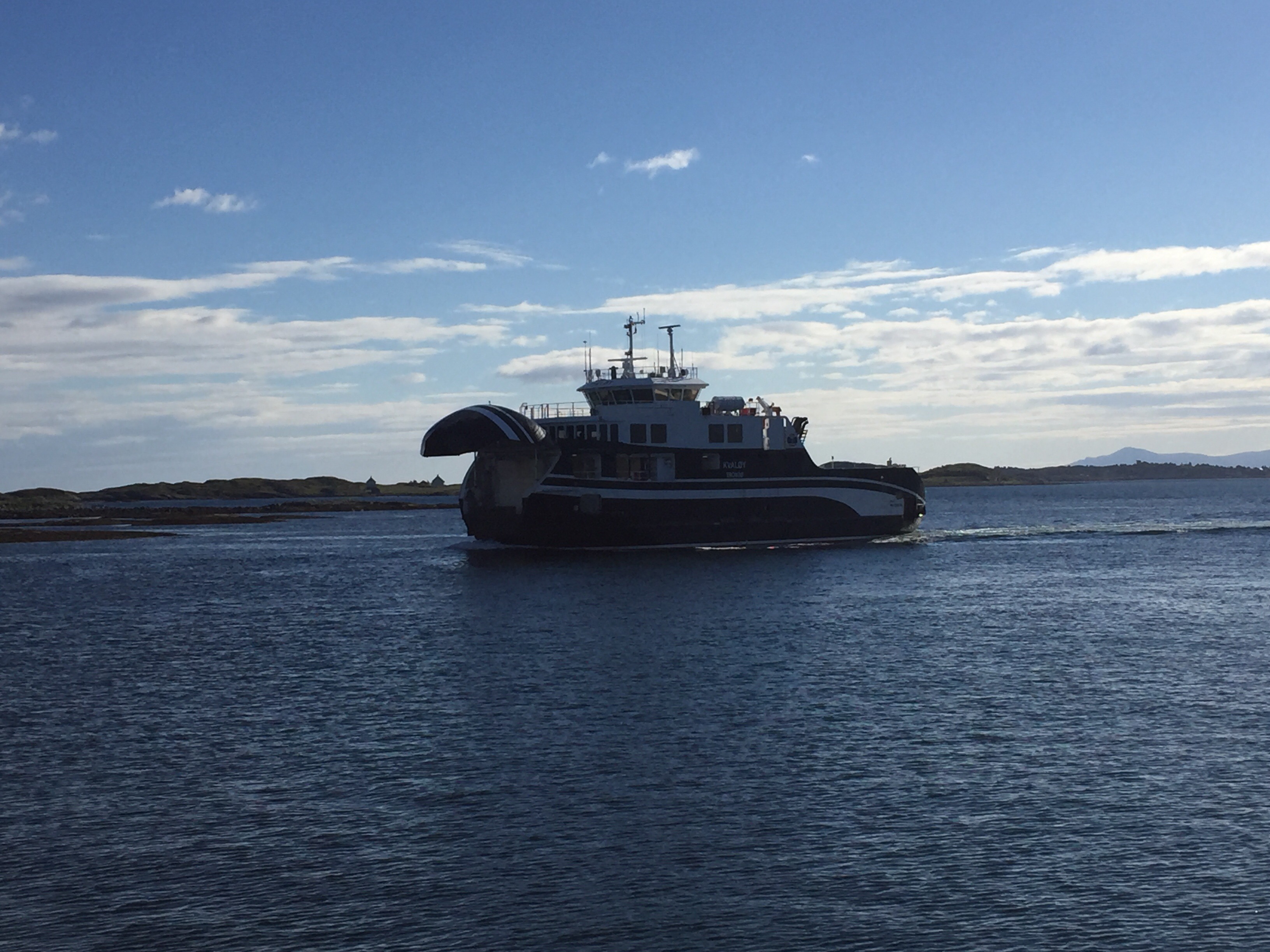
Today was supposed to be overcast, but dry, according to the Yr weather forecast. But the day started with heavy rain. I started early at 8:20 from Kristiansund eastwards and took a ferry from Seivika to Tømmervåg after ten kilometres.
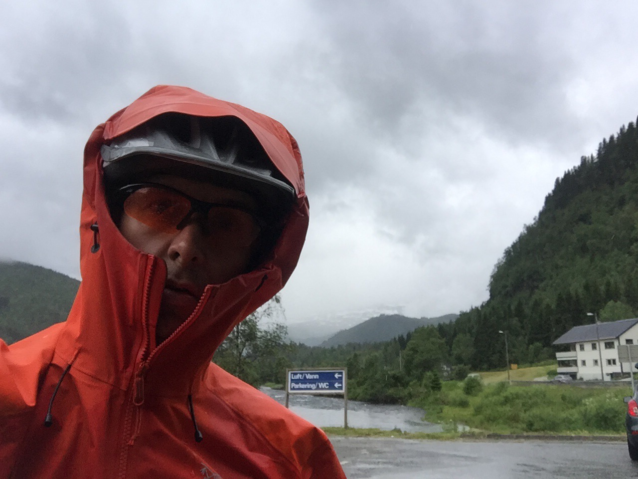
After the ferry, it still rained heavily, so I changed quickly from my cycling jacket to my Gore Tex jacket with hood. At this point, I was doubting if I could go the planned 100 kilometres to Kyrksæterøra which is midway between Kristiansund and Trondheim. But the weather report for tomorrow was even worse, so I decided to continue.
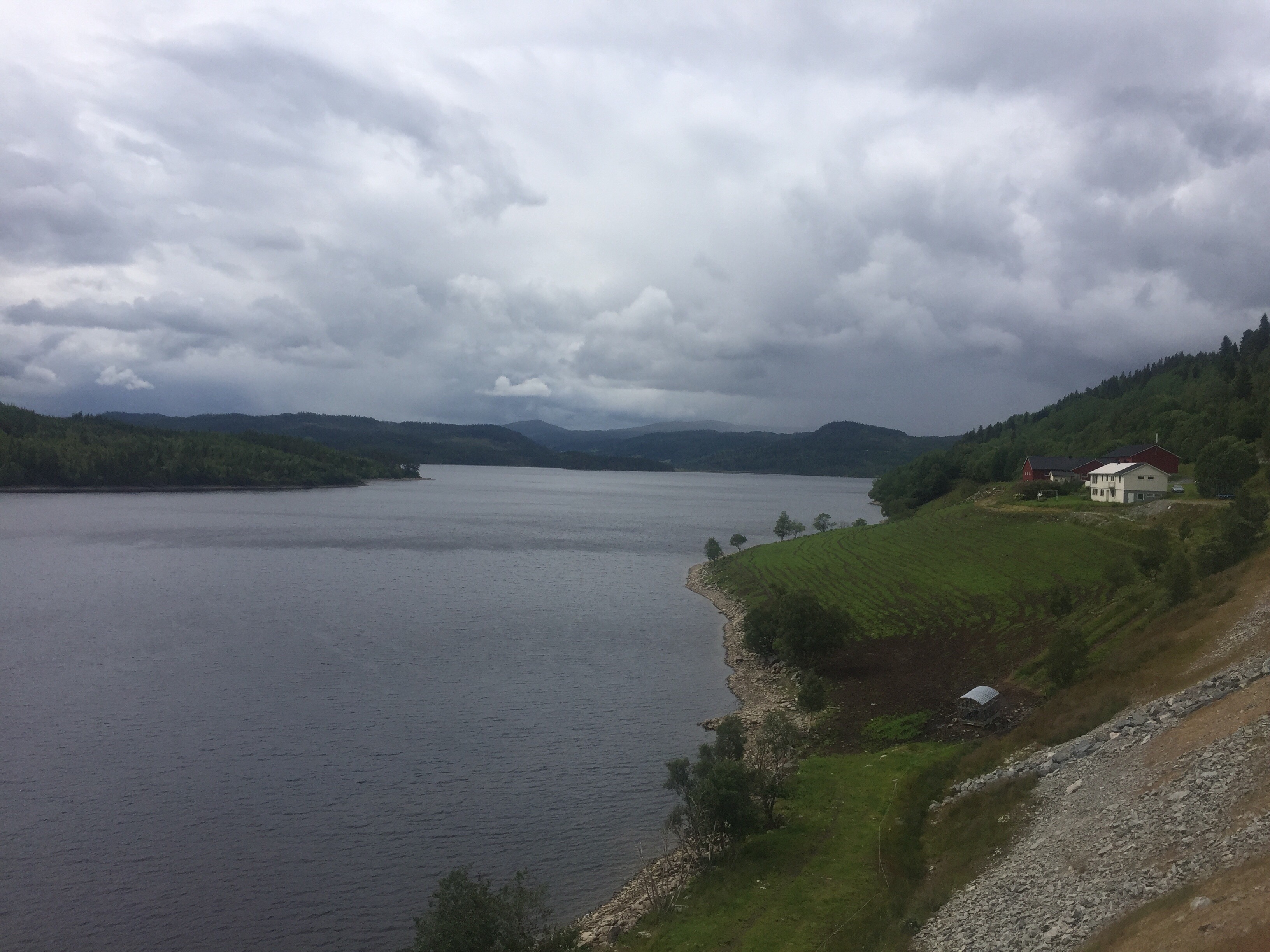
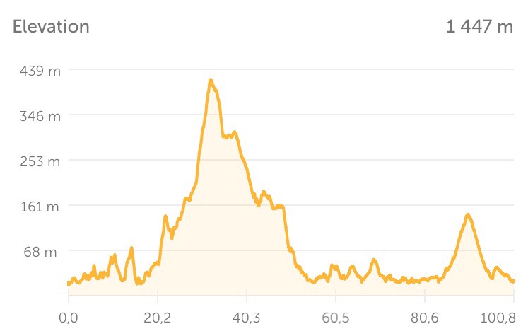
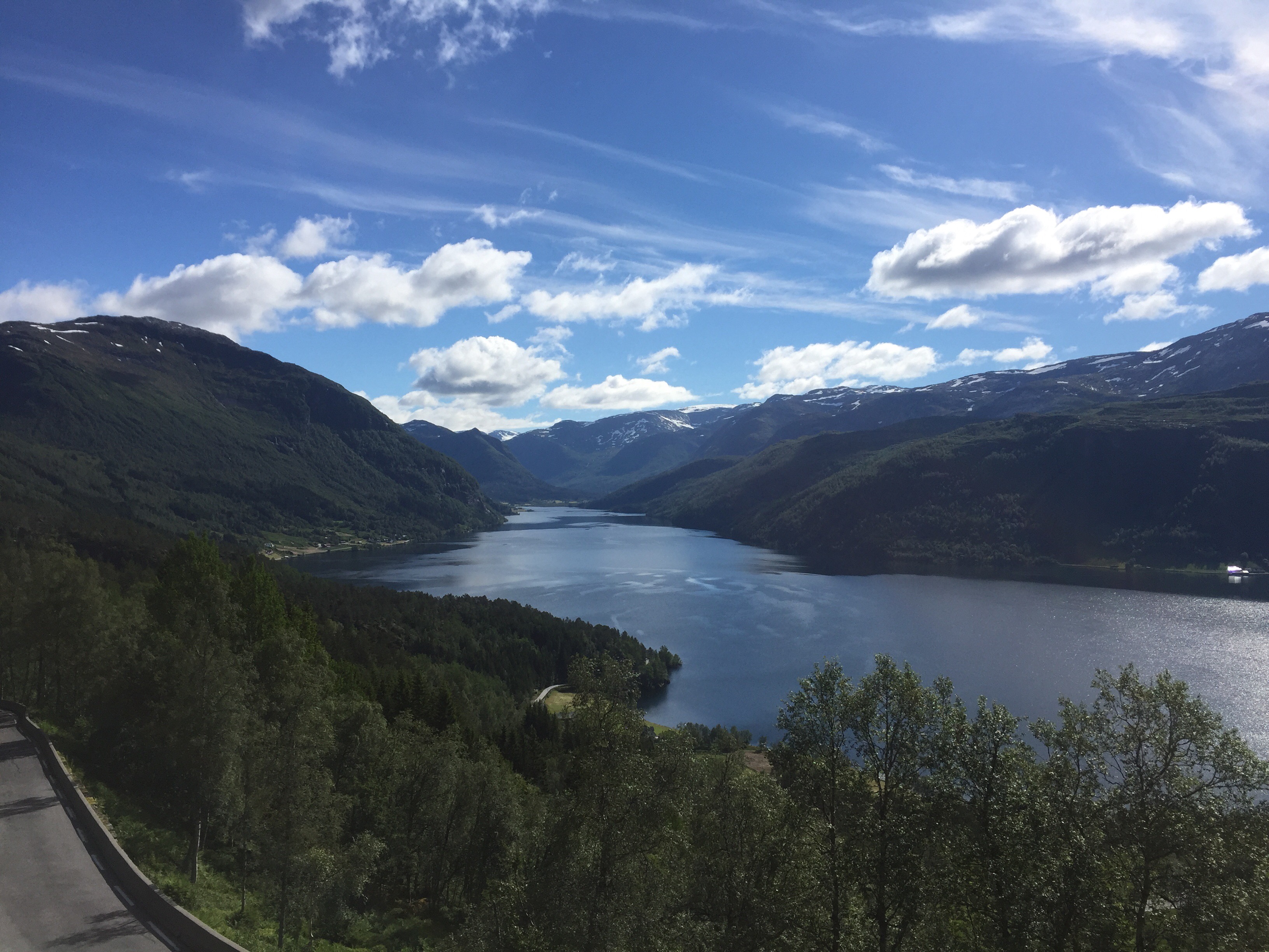
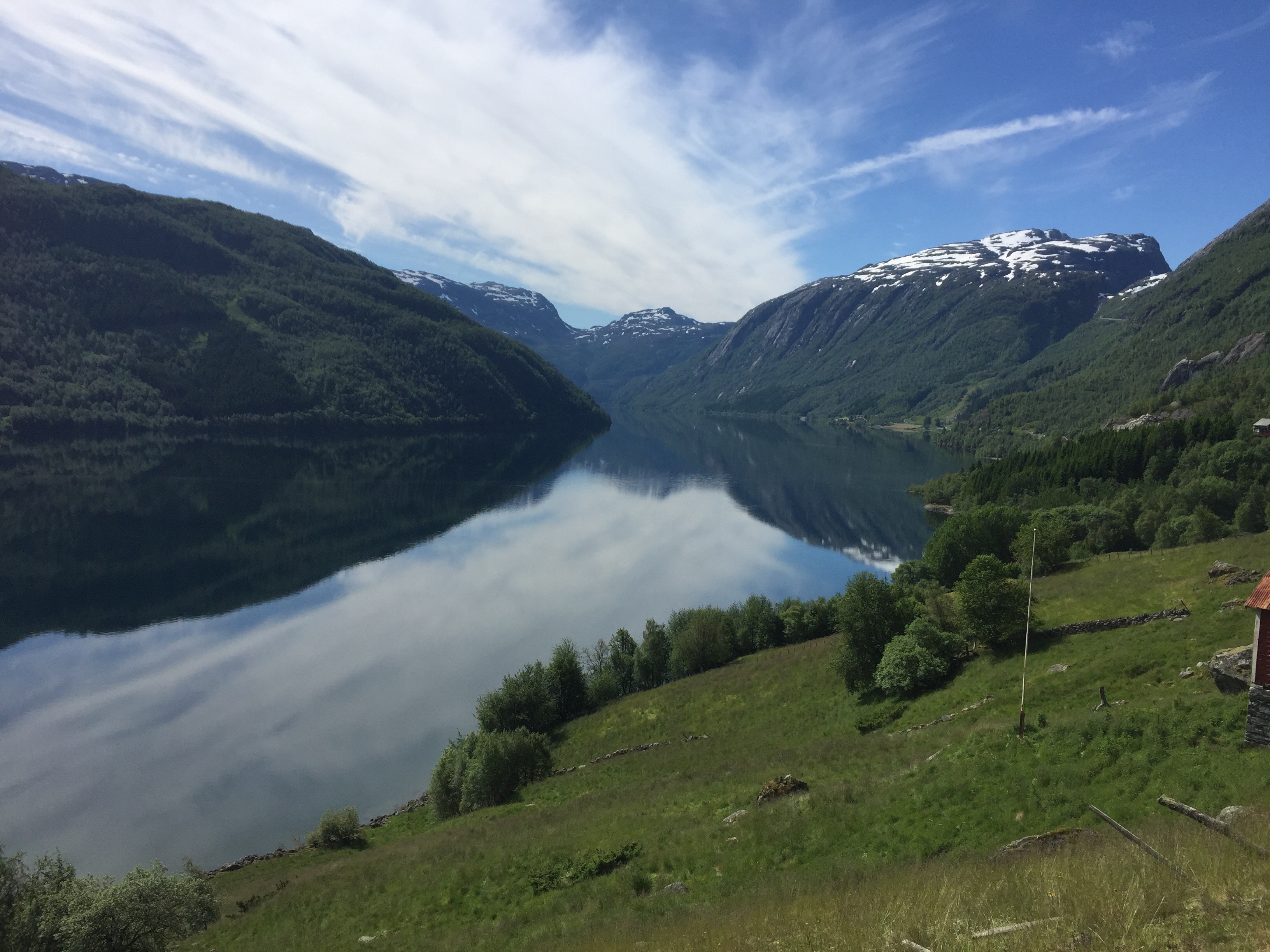
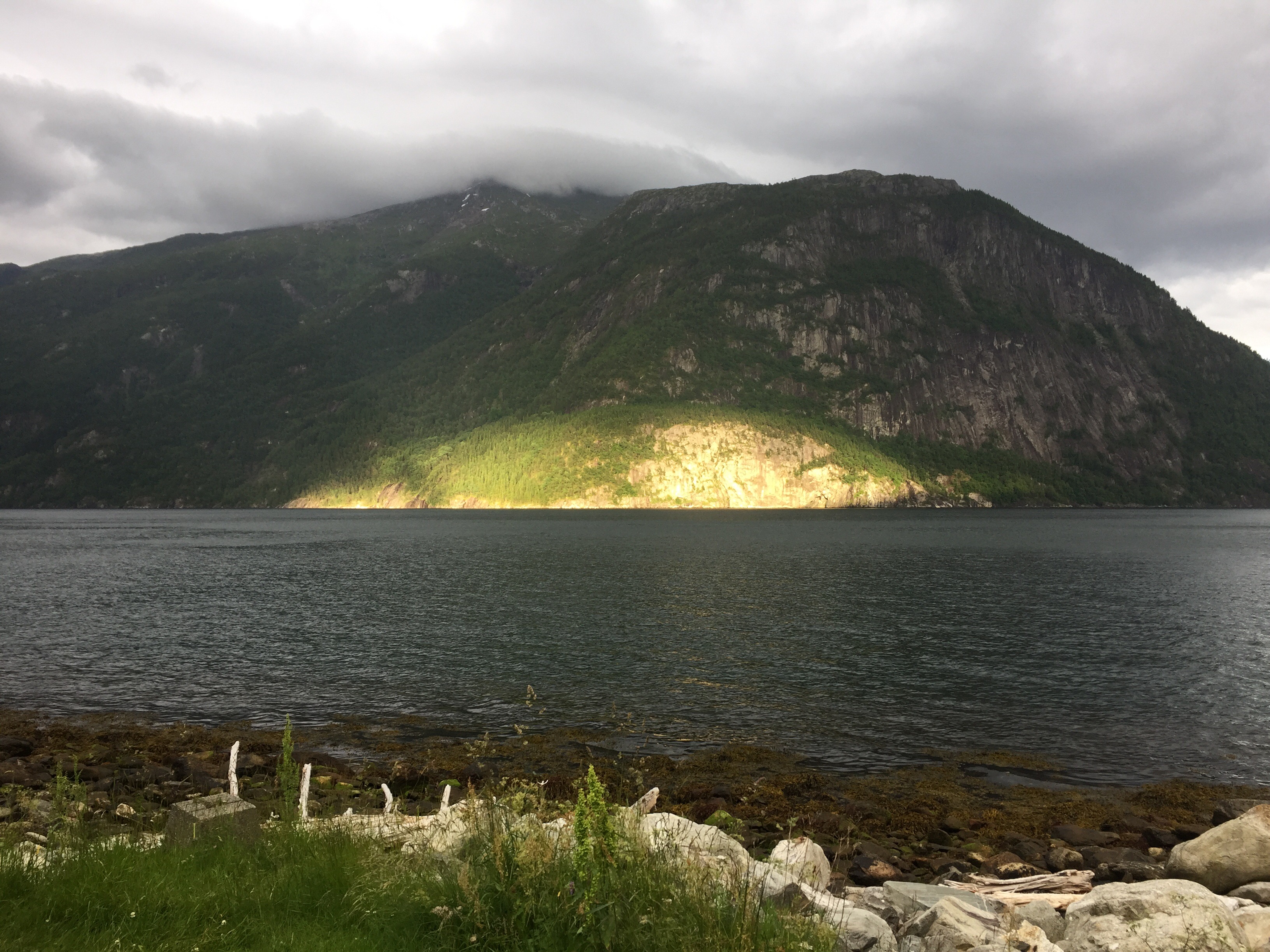
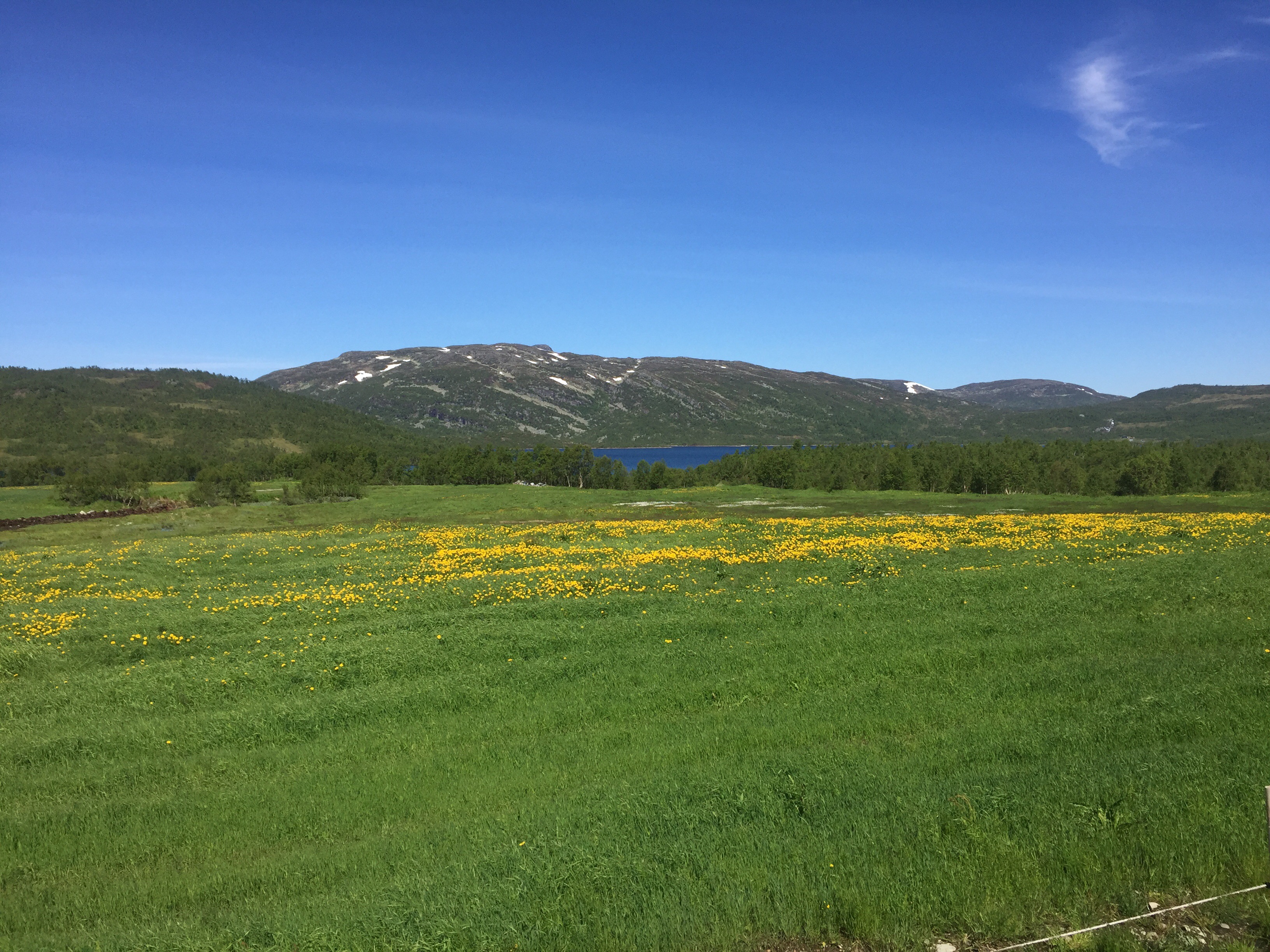
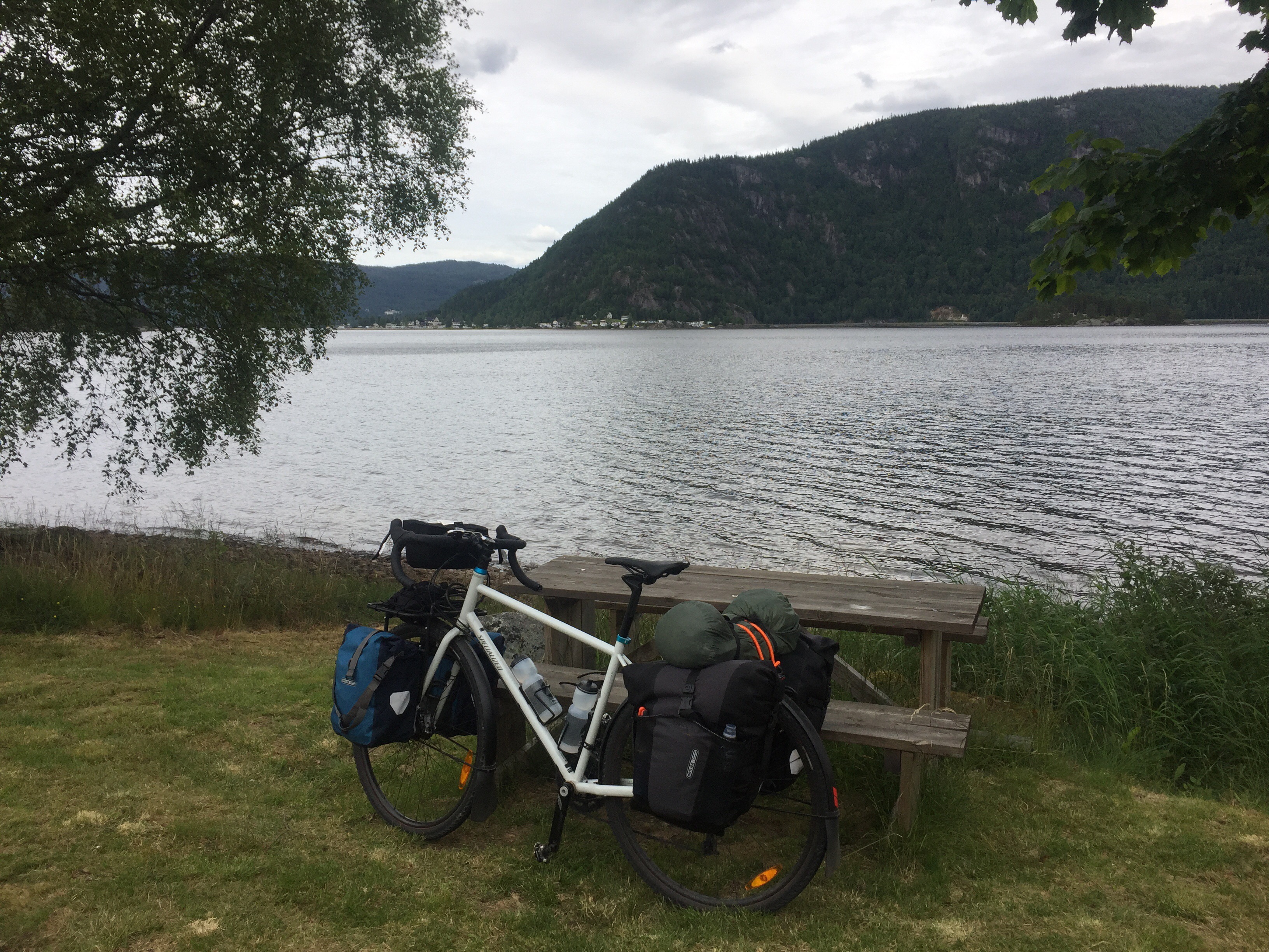
Fortunately, the rain became less after one hour, and eventually it stopped. The route went along a couple of fjords and sounds today and was very nice despite the grey weather. It was also rather hilly, so I was taking it rather slow today.
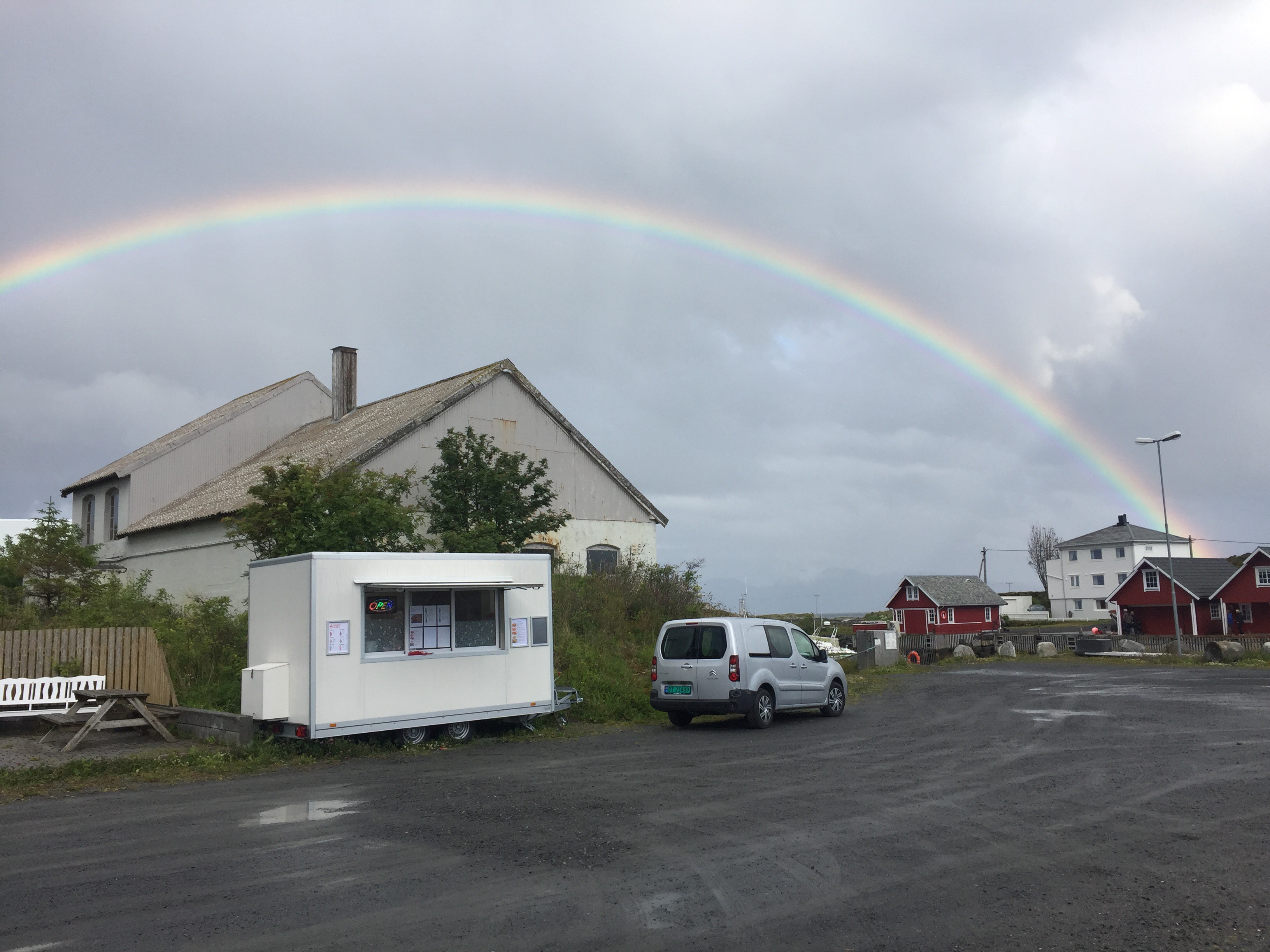
Around lunch time, I reached the village Aure where I found a Thai food truck (they seem to exist everywhere!). I had a 45 minutes’ lunch break before I continued.
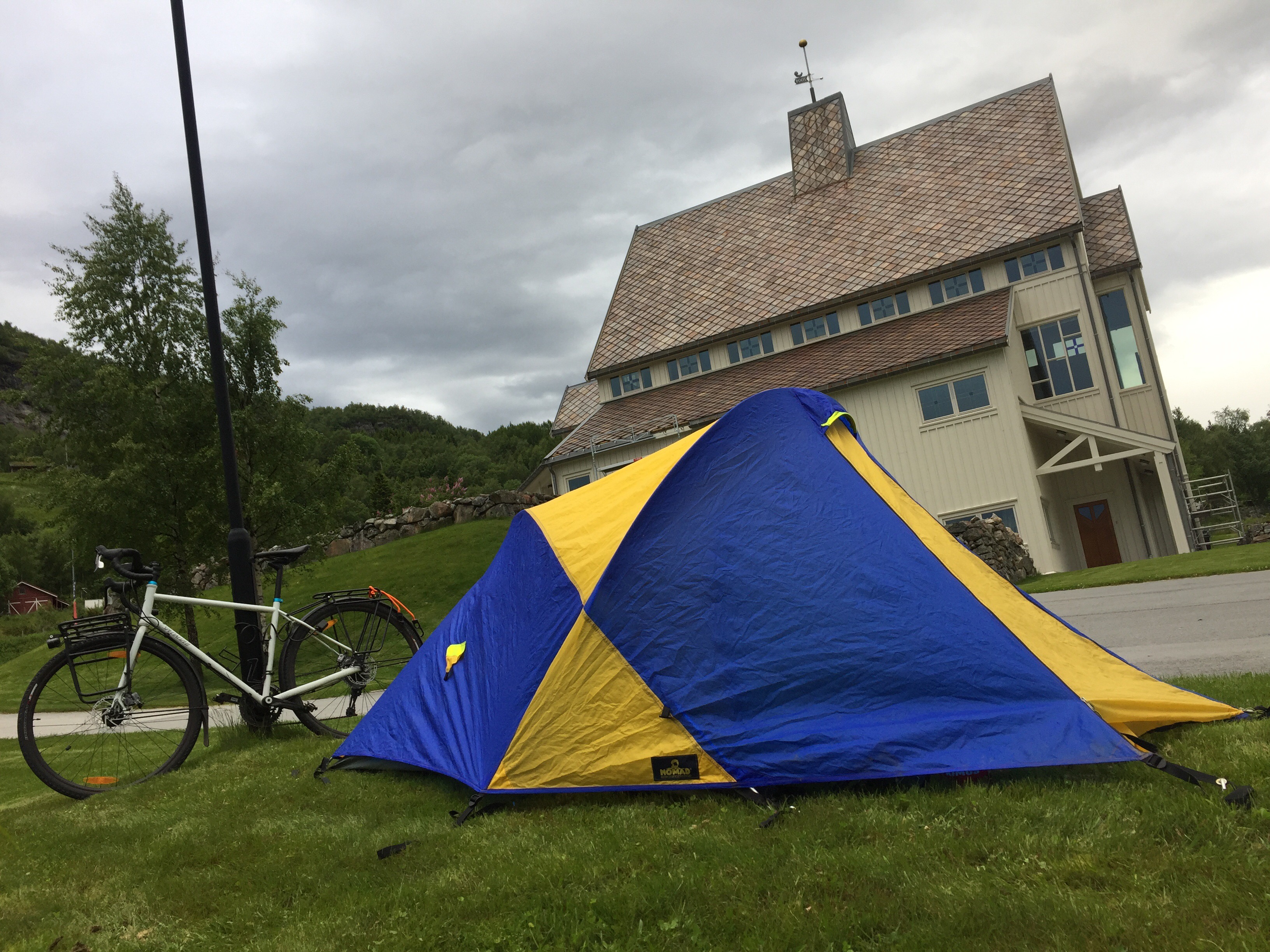
About one hour before Kyrksæterøra, it started raining again. So instead of continuing a few kilometres along the next fjord to get out of this small place, I set up my tent rather close to the centre on a small piece of grass right next to the fjord.
I had dinner in the tent, but enjoyed a warm chocolate and a glass of red wine in a café now. The weather report for tomorrow is still very bad, but a hotel room and a rest day are waiting for me in Trondheim.
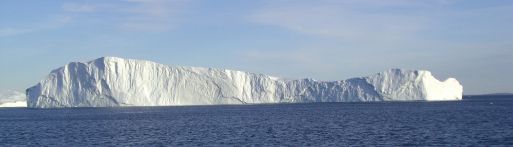
Boat arriving at Finnøy
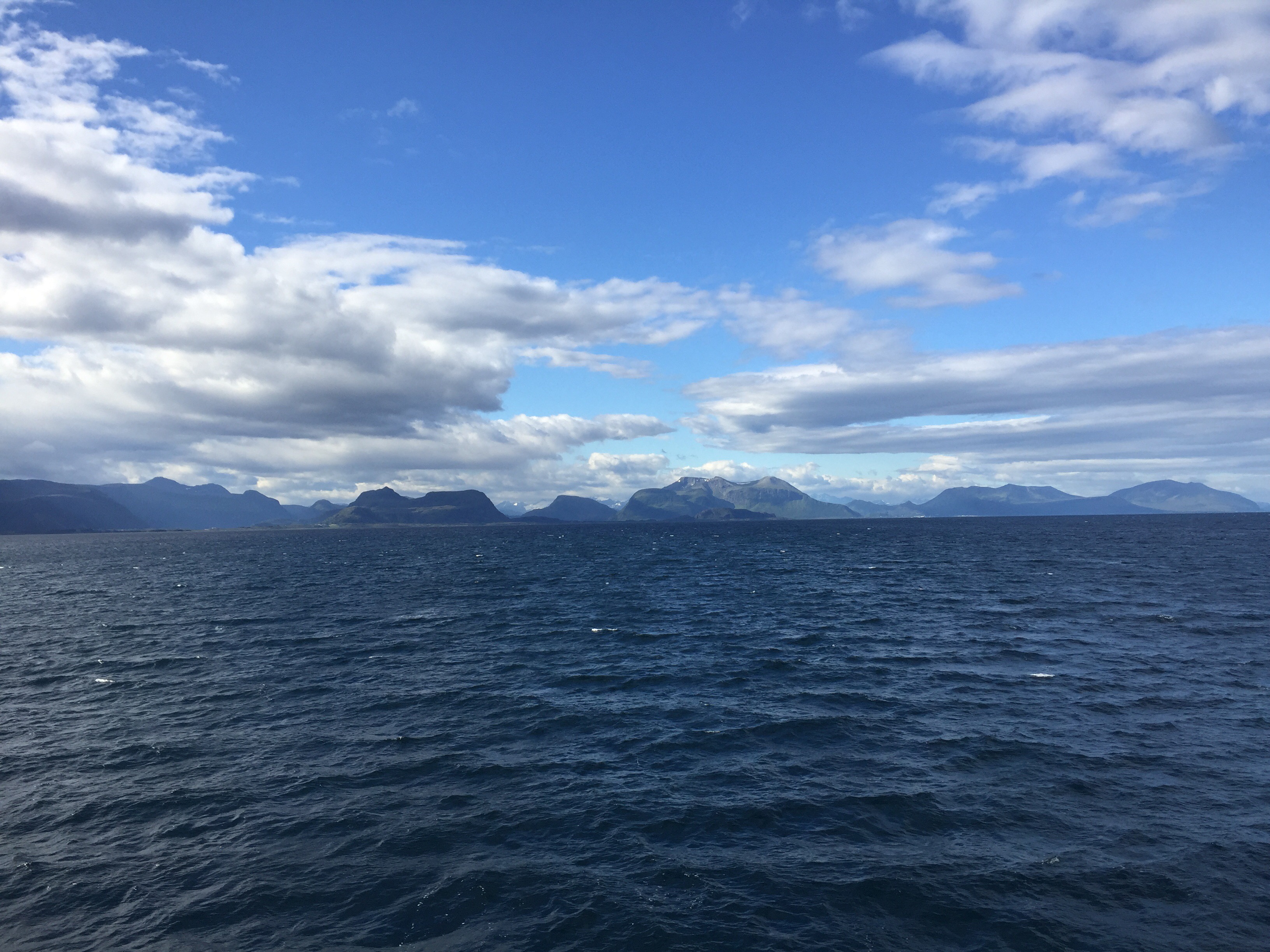
View from the boat

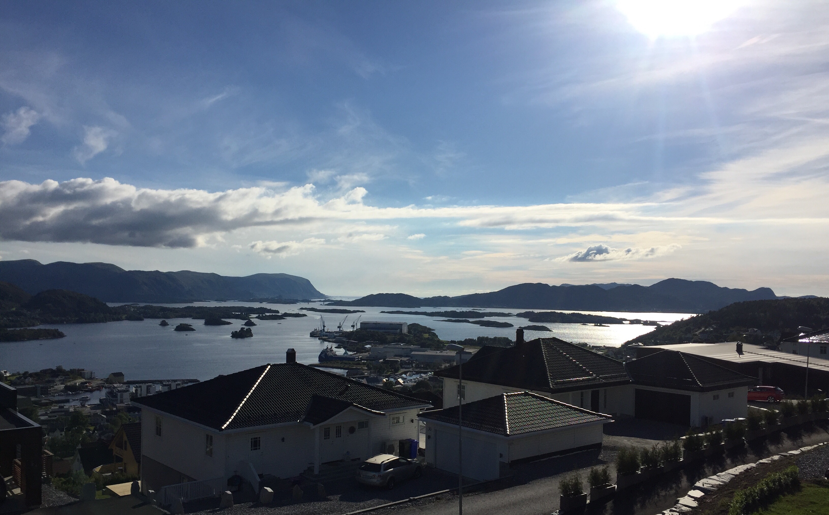
Atlanterhavsveien
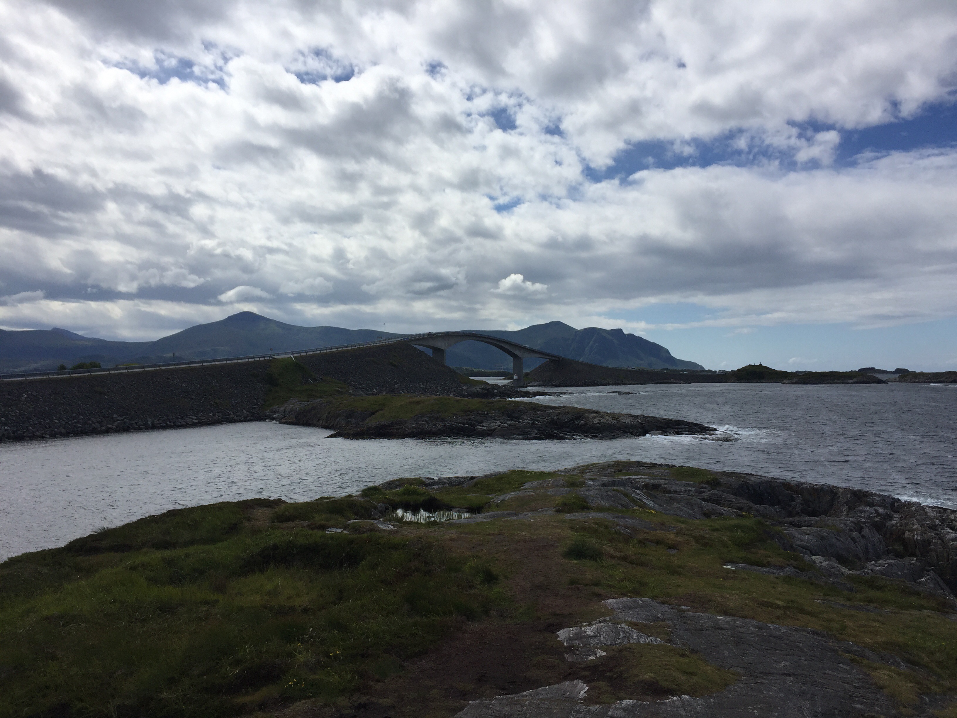
Atlanterhavsveien
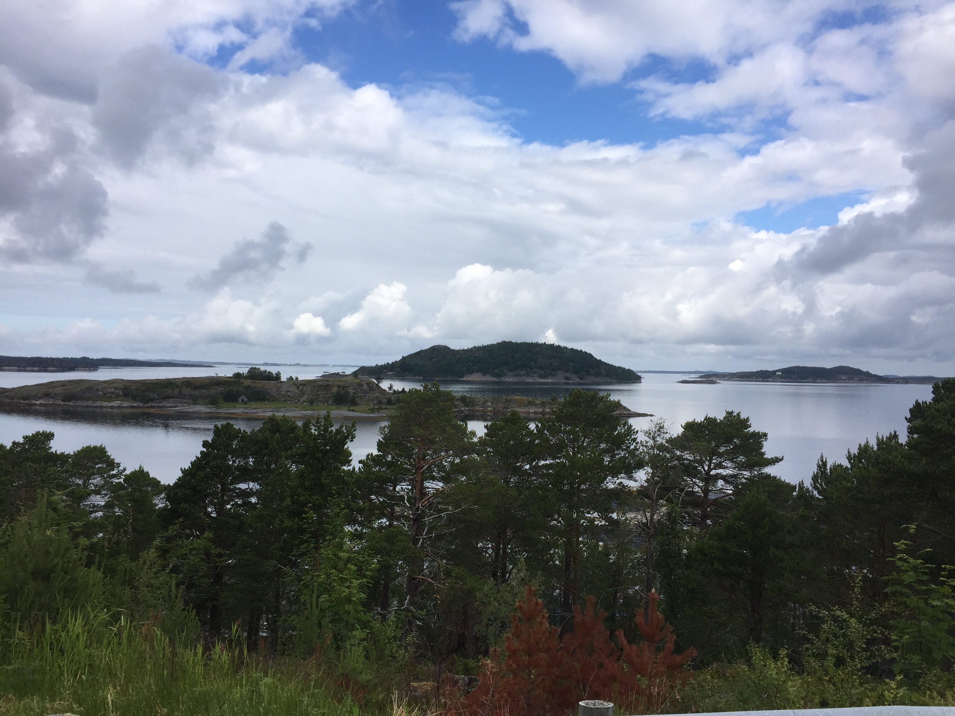
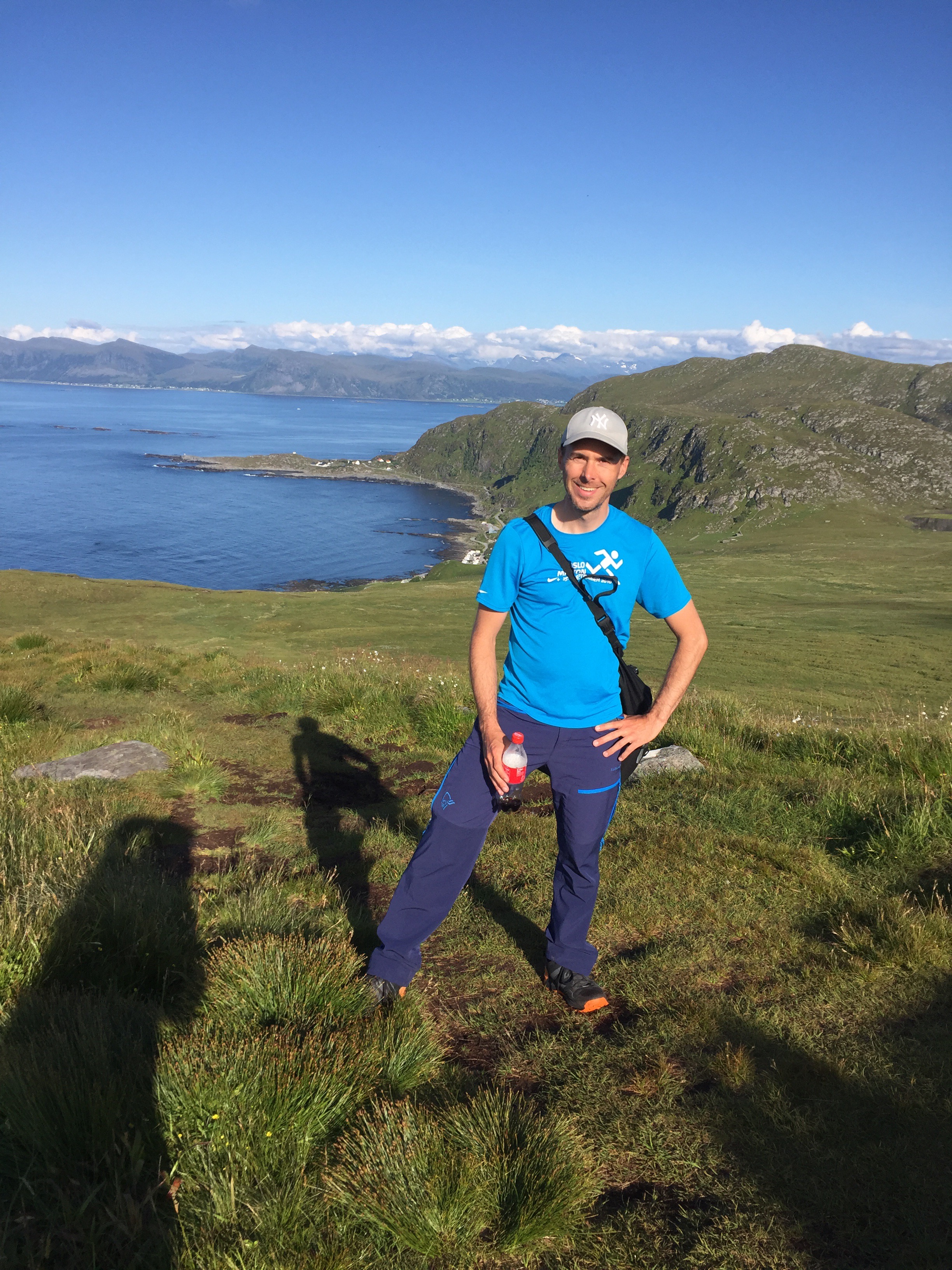
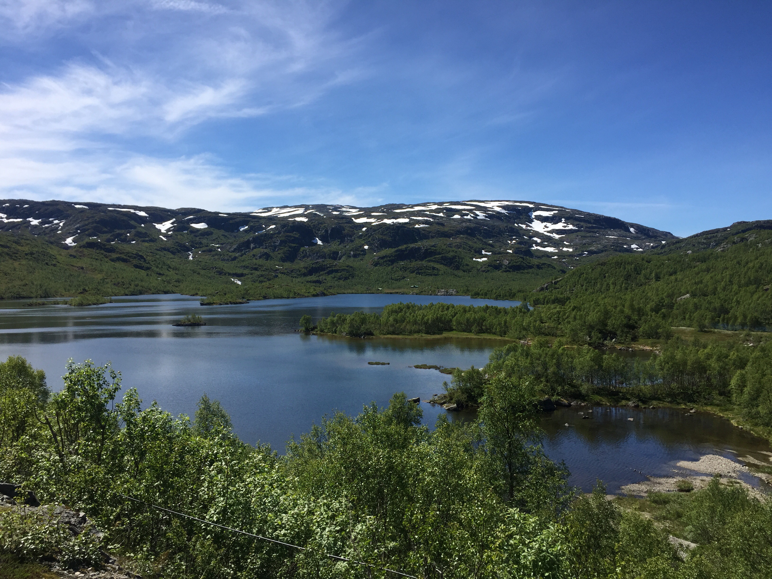
View from Jørnøya between Kristiansund and Kyrksæterøra
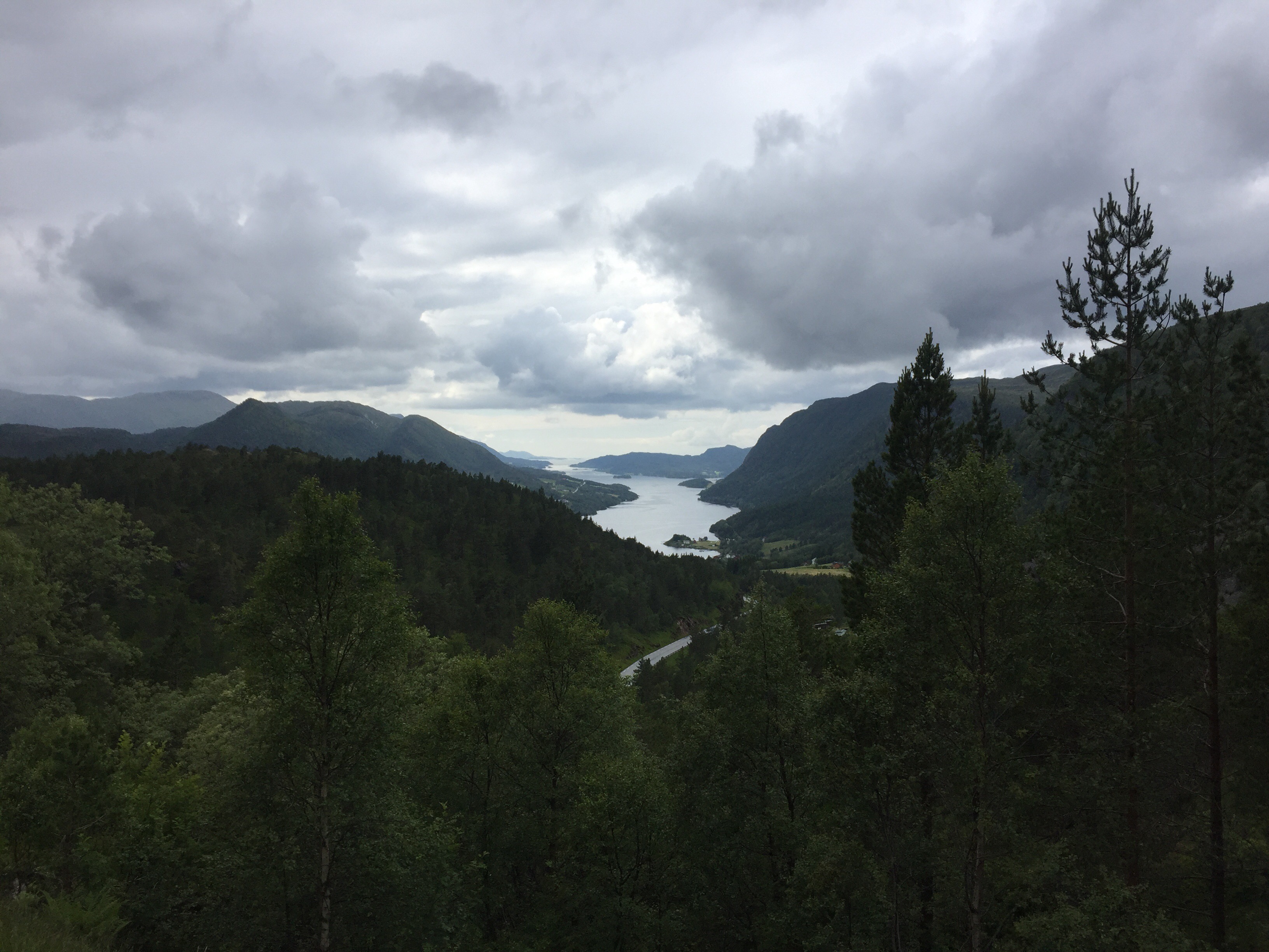
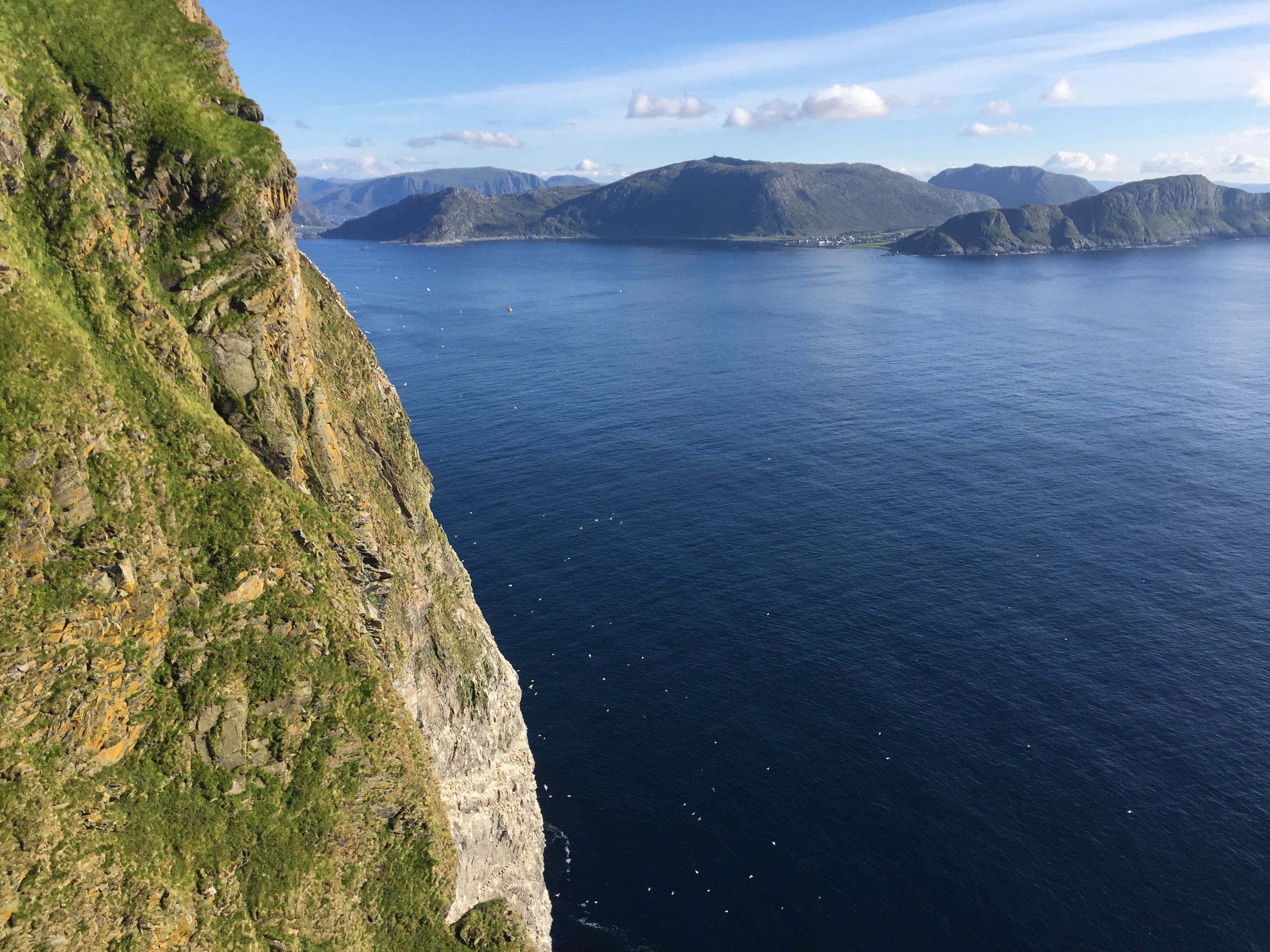
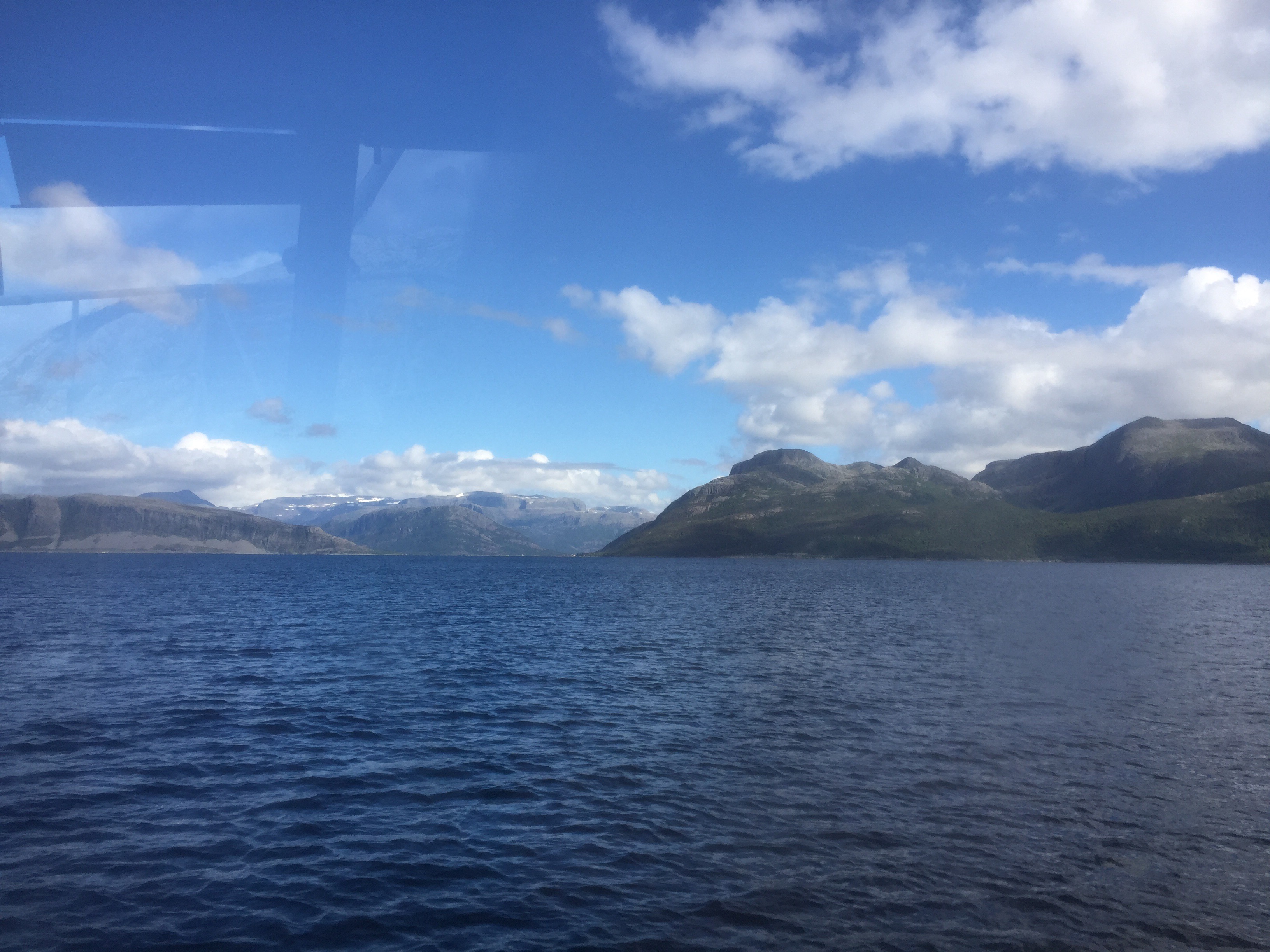
Årvågfjorden